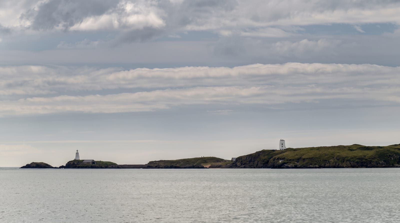
Lihou Island
A tidal island off Guernsey's west coast with priory ruins, reachable on foot at low water.
Updated 16 October 2026
Lihou lies off Guernsey's western tip and is reached on foot across a cobbled causeway that only clears at low tide, which means the island is accessible for a few hours at a time on published dates. The ruins of a Benedictine priory of the twelfth century stand on it, along with a house used for residential groups, and the surrounding reefs and pools are a Ramsar site rich in marine life.
Background
No Channel Island lies further west than Lihou, which covers 36 acres and is joined to L'Erée headland by a stone causeway 400 metres long. A ridge 20 metres high runs approximately north to south. Archaeological digs in the 1990s recovered Mesolithic objects, the earliest evidence of people here. Estimates for the founding of the priory range from 1114 to 1156, and the last recorded prior served around 1560. Locals once gathered seaweed on the island for fertiliser. On 1 March 2006 Lihou and the headland became part of Guernsey's first Ramsar wetland site, about 427 hectares of land and sea, and the nearby islets of Lissroy and Lihoumel are breeding grounds for Eurasian oystercatchers and common ringed plovers.
Source: Wikipedia, "Lihou"
What's there
- The tidal causeway - a cobbled crossing open only for a few hours at low water.
- The priory ruins - the twelfth-century Benedictine remains.
- The rock pools - the Ramsar reef and pool system around the island.
- The isolation - an island cut off for most of every day.
When to go
Causeway opening times are published and vary through the month; check before going. April to September is the season for the pools and birds. Winter storms close the crossing.
Things to know
Getting cut off by the tide is a real risk and people are caught out every year. There are no facilities on the island. The causeway is uneven and slippery.
Nearby
L'Eree is on the mainland, and Fort Grey is south.
Key facts
Source: Wikidata, item Q953452, read on 18 October 2026.
What to pack for Lihou Island
Chosen from what this place is for. Tap a kit for the full checklist.
- Broken-in walking shoes or boots - Grip and ankle support matter more than looks; never hike in brand-new boots. Find on Amazon
- Layers + a waterproof shell - Mountain weather turns fast; a packable rain jacket saves the day. Find on Amazon
- Daypack with rain cover - 20-30 litres holds water, snacks, layers and a first-aid kit. Find on Amazon
- Offline maps + a power bank - Download the trail before you lose signal; carry backup charge. Find on Amazon
Some links on this page are Amazon affiliate links - if you buy through them we may earn a small commission at no extra cost to you.
All packing kitsPlan your trip
Where to start if Lihou Island is going on the list.
Booking links on this page are affiliate links - if you book through them we may earn a small commission at no extra cost to you. It never changes what we write about a place.
Opening times, ticket prices and seasonal closures change - check the official source before you go: official site.