Lake Izabal
The largest lake in Guatemala, joined to the Caribbean by a river gorge and guarded by a colonial fort.
Updated 1 September 2026
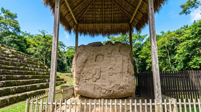
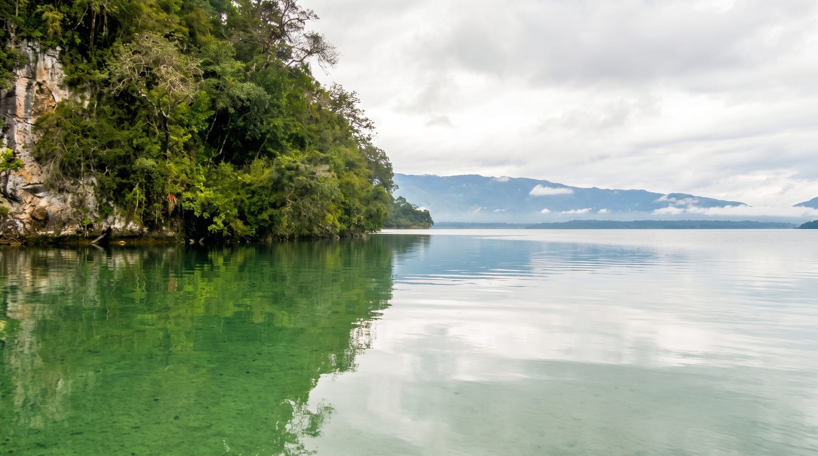
Lake Izabal is the largest lake in Guatemala, some six hundred square kilometres of warm water in the eastern lowlands, and it drains to the Caribbean through the Rio Dulce, a river that runs the last stretch through a gorge of limestone cliffs hung with vegetation. That outlet made the lake a route inland for goods and for pirates, and the Spanish built the fort of San Felipe at the narrows in the seventeenth century to close it, a small castle of towers and walls that still stands and can be walked through. Boats work the lake and the river, the shores hold hot springs and villages, and Rio Dulce town is the base for all of it.
Highlights
- The Rio Dulce gorge - limestone cliffs on the run to the Caribbean.
- Castillo de San Felipe - the seventeenth-century fort at the narrows.
- The largest lake in the country - six hundred square kilometres of water.
- Boat traffic on the river - the working route between lake and coast.
When to go
November to April, the drier part of the year. Two days for the lake and the river gorge. Boats down to Livingston run daily and are the standard trip.
Before you go
It is hot and humid year round and mosquitoes are heavy. Rio Dulce town is a noisy road junction rather than a pleasant base. Boat prices are negotiated and vary. The lake has faced significant pollution and land use disputes.
Nearby
El Estor is west; Livingston lies downriver on the coast.
Key facts
Source: Wikidata, item Q138637, read on 18 October 2026.
What to pack for Lake Izabal
Chosen from what this place is for. Tap a kit for the full checklist.
- Reef-safe sunscreen - High SPF that will not bleach the coral you are swimming over. Find on Amazon
- Strong insect repellent - DEET or picaridin; the jungle is where bites and disease risk are highest. Find on Amazon
- Swimwear - Needed at most public thermal pools; some traditional baths are nude and single-sex. Find on Amazon
- Quick-dry towel - A microfibre towel packs small and dries in minutes. Find on Amazon
Some links on this page are Amazon affiliate links - if you buy through them we may earn a small commission at no extra cost to you.
All packing kitsPlan your trip
Where to start if Lake Izabal is going on the list.
Booking links on this page are affiliate links - if you book through them we may earn a small commission at no extra cost to you. It never changes what we write about a place.
Opening times, ticket prices and seasonal closures change - check the official source before you go: official site.