Sierra de las Minas
A long mountain range holding one of the largest cloud forests in Central America.
Updated 21 October 2026
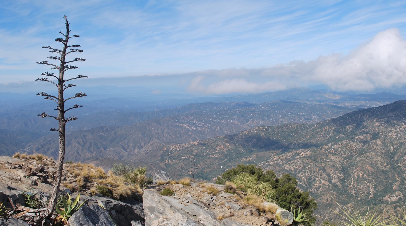
The Sierra de las Minas runs for around one hundred and thirty kilometres between the Motagua and Polochic valleys, rising to just over three thousand metres at Cerro Raxón, and because the range catches moisture from both sides it carries an exceptional extent of cloud forest, among the largest continuous areas in Central America. The reserve protects it along with the pine and oak below and the dry valley scrub at the foot. It supplies water to a large part of eastern Guatemala. Quetzals, horned guan, jaguar and tapir occur, and hundreds of bird species have been recorded. Access is through community-run lodges on the western side, and the walking is steep and wet.
The landscape
- Extensive cloud forest - among the largest continuous areas in the region.
- A range between two valleys - the Motagua and the Polochic on either side.
- Quetzal and horned guan - the flagship birds of the forest.
- Community-run lodges - the way visitors reach the reserve.
When to go
November to April in the drier months, though it rains here year round. Two to four days. Guides are required and lodges must be booked in advance.
Things to know
Access is difficult, on rough tracks with four-wheel-drive, and trails are steep and constantly muddy. Rain is frequent whatever the season. Facilities are basic lodges without heating. Wildlife is present but hard to see.
Nearby
Salama is west; the Motagua valley lies south.
Key facts
Source: Wikidata, item Q746425, read on 18 October 2026.
What to pack for Sierra de las Minas
Chosen from what this place is for. Tap a kit for the full checklist.
- Broken-in walking shoes or boots - Grip and ankle support matter more than looks; never hike in brand-new boots. Find on Amazon
- Binoculars - The single best wildlife tool - even a compact pair transforms a sighting. Find on Amazon
- Layers for big temperature swings - Warm sun by day, near-freezing at night, even near the equator. Find on Amazon
- Layers + a waterproof shell - Mountain weather turns fast; a packable rain jacket saves the day. Find on Amazon
Some links on this page are Amazon affiliate links - if you buy through them we may earn a small commission at no extra cost to you.
All packing kitsPlan your trip
Where to start if Sierra de las Minas is going on the list.
Booking links on this page are affiliate links - if you book through them we may earn a small commission at no extra cost to you. It never changes what we write about a place.
Opening times, ticket prices and seasonal closures change - check the official source before you go: official site.