Sierra la Laguna
Oak and palm above the desert - a granite sierra biosphere at Baja's southern tip, where cloud forest survives on ridges over cactus canyons.
Updated 24 August 2026
AI illustration
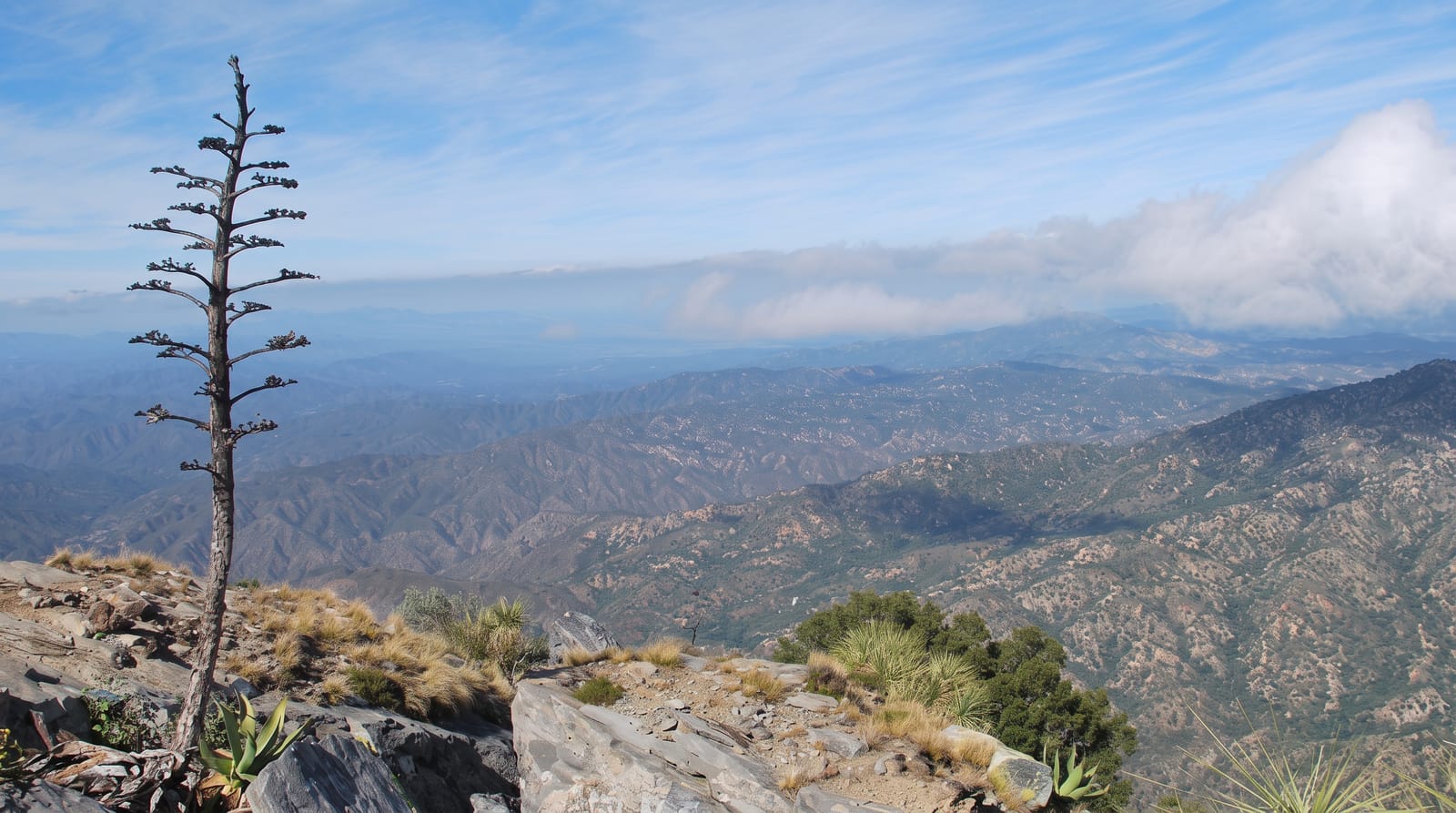
The Sierra la Laguna rises to over 2,000 metres between the two coasts of the Baja peninsula's cape region, and its isolation produced something unexpected: on the upper ridges, oak and pine-oak forest and a meadow known as La Laguna - a former lake bed - survive as an island of temperate vegetation surrounded by desert, with plant and animal species found nowhere else. Below, canyons cut down through granite, carrying palm groves, seasonal streams and swimming pools; the Sol de Mayo and Fox canyon waterfalls near Santiago and Miraflores are the accessible versions, day-walkable and popular. The full experience is the crossing: a two-to-four-day traverse from San Dionisio on the gulf side to La Burrera on the Pacific, camping at La Laguna meadow, arranged with local guides and burros because the trails are unmarked and water is scarce. Birders come for endemics, botanists for the plant list, and everyone for the strangeness of walking from cardon cactus into oak shade in a single morning's climb.
Highlights
- La Laguna meadow - the high grassland at the sierra's heart.
- The oak forest - temperate woodland above desert canyons.
- The palm canyons - streams, pools and waterfalls below.
- The endemics - species unique to this mountain island.
When to go
November to April for cool walking and reliable water in the canyons; summer brings heat, and late-summer storms can flood the drainages dangerously.
Practical notes
The traverse is a guided expedition, not a marked trail - go with local guides and pack animals, carry water treatment, and expect cold nights on top. Canyon day walks near Santiago are the easy alternative.
Nearby
Todos Santos and the Pacific beaches lie west; Santiago, Miraflores and the East Cape sit on the gulf side.
Key facts
Source: Wikidata, item Q2257840, read on 18 October 2026.
What to pack for Sierra la Laguna
Chosen from what this place is for. Tap a kit for the full checklist.
- Broken-in walking shoes or boots - Grip and ankle support matter more than looks; never hike in brand-new boots. Find on Amazon
- Reef-safe sunscreen - High SPF that will not bleach the coral you are swimming over. Find on Amazon
- Loose, light, long clothing - Covering up beats bare skin in the desert - and locals dress this way for a reason. Find on Amazon
- Shelter suited to the place - Tent, tarp or hut booking - match it to the terrain and rules. Find on Amazon
Some links on this page are Amazon affiliate links - if you buy through them we may earn a small commission at no extra cost to you.
All packing kitsPlan your trip
Where to start if Sierra la Laguna is going on the list.
Booking links on this page are affiliate links - if you book through them we may earn a small commission at no extra cost to you. It never changes what we write about a place.
Opening times, ticket prices and seasonal closures change - check the official source before you go: official site.