Mount Taygetus
The pyramid-peaked range that walls off Laconia from Messenia, rising to 2,404 metres at Profitis Ilias.
Updated 19 October 2026
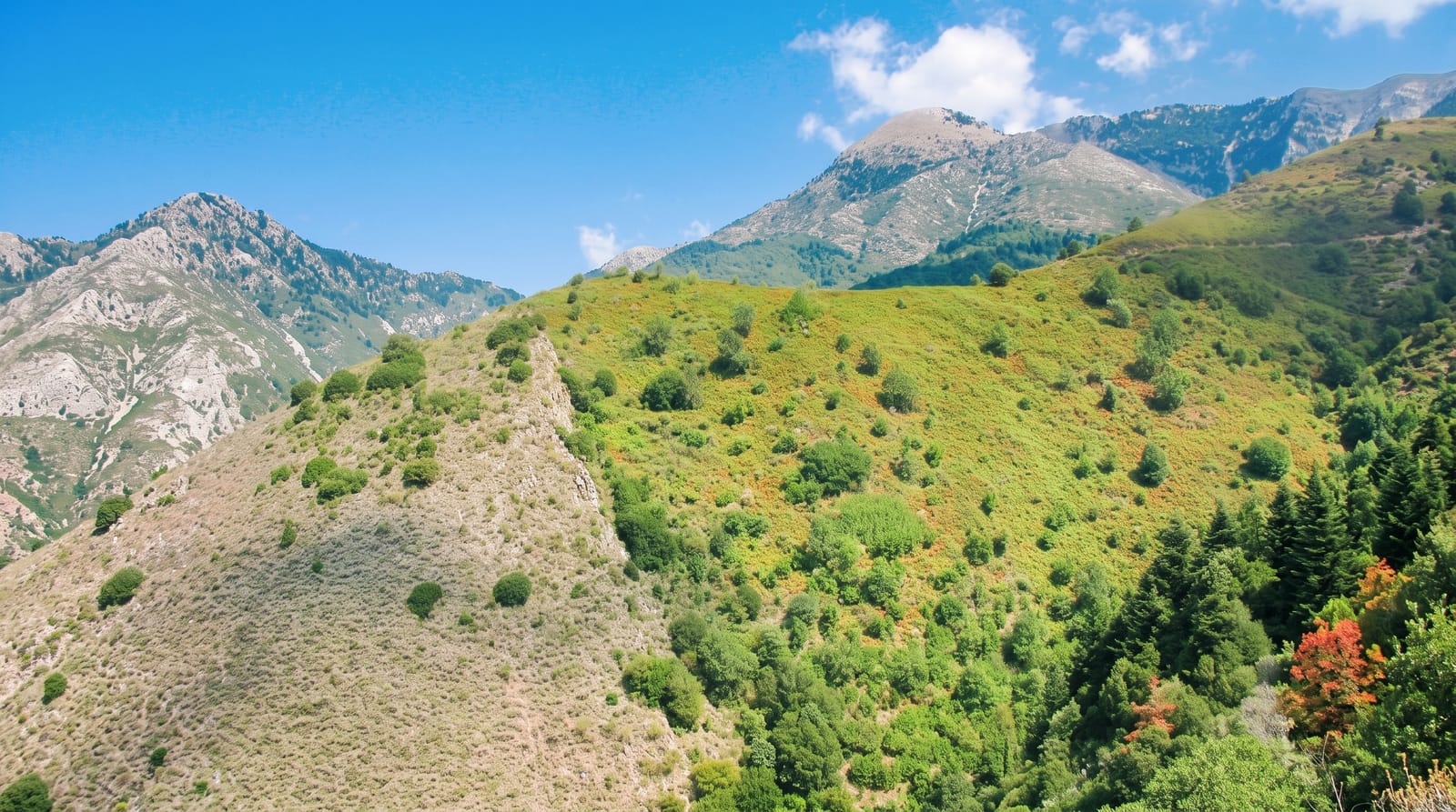
AI illustration
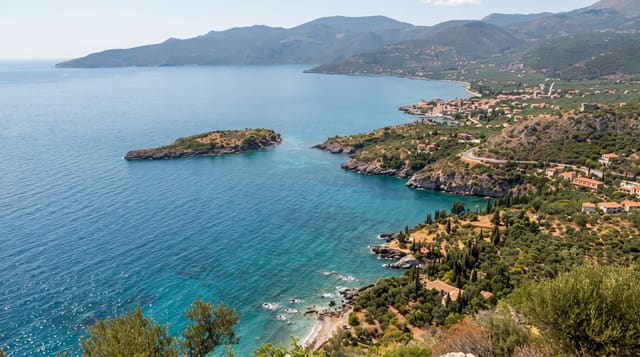
Taygetus is the highest range in the Peloponnese, running about a hundred kilometres north to south and culminating at 2,404 metres in the peak of Profitis Ilias, which carries a small chapel and a summer festival on 20 July. Seen from Sparta the mountain is a sheer grey wall; from the west it breaks into ridges of black pine and fir cut by deep gorges. The standard ascent starts from the Vasiliki refuge at about 1,550 metres and takes three to four hours to the top, on marked but rocky ground, with an enormous view over both gulfs and, on the clearest days, as far as Crete's mountains. Lower down, the Lagada pass road links Sparta and Kalamata through spectacular country, and the Rindomo and Viros gorges cut deep into the western flank.
History
The name is among the oldest recorded in Europe, appearing in the Odyssey, and in myth it came from the nymph Taygete; from Byzantine times to the 19th century the range was also called Pentadaktylos, "five-fingered". Its slopes have been inhabited at least since Mycenaean times, with three beehive tombs still unexplored at Arkina near Arna, and it was one of Sparta's natural defences; the Spartans threw criminals into a chasm called Ceadas, and remains found by the University of Athens suggest it served mainly for criminals, traitors and captives (Wikipedia, Taygetus).
The landscape
- Profitis Ilias - the summit chapel at 2,404 metres and its panorama.
- The Vasiliki refuge - the mountain hut and the main ascent route.
- The Lagada pass - the dramatic road crossing between Sparta and Kalamata.
- The gorges - Rindomo and Viros cutting into the western slopes.
When to go
Late May to October for the summit, once the snow has gone; the mountain holds serious snow and demands winter equipment from November to April. Summer afternoons build cloud, so start early.
Practical notes
The summit day is a long, steep hike on loose rock with no water above the refuge, and weather changes fast. Marking is adequate but not lavish; take a map. The refuge has limited beds and should be arranged in advance.
Nearby
Mystras and Sparta lie on the eastern side; Kardamyli and the Mani coast are west.
Key facts
Source: Wikidata, item Q515809, read on 18 October 2026.
What to pack for Mount Taygetus
Chosen from what this place is for. Tap a kit for the full checklist.
- Broken-in walking shoes or boots - Grip and ankle support matter more than looks; never hike in brand-new boots. Find on Amazon
- Warm base layers - Merino or synthetic against the skin - never cotton, which chills when damp. Find on Amazon
- Shelter suited to the place - Tent, tarp or hut booking - match it to the terrain and rules. Find on Amazon
- Layers + a waterproof shell - Mountain weather turns fast; a packable rain jacket saves the day. Find on Amazon
Some links on this page are Amazon affiliate links - if you buy through them we may earn a small commission at no extra cost to you.
All packing kitsPlan your trip
Where to start if Mount Taygetus is going on the list.
Booking links on this page are affiliate links - if you book through them we may earn a small commission at no extra cost to you. It never changes what we write about a place.
Opening times, ticket prices and seasonal closures change - check the official source before you go: official site.