Lake Vegoritida
A deep highland lake between bare hills and vineyards, whose water level has risen and fallen dramatically within living memory.
Updated 21 October 2026
AI illustration
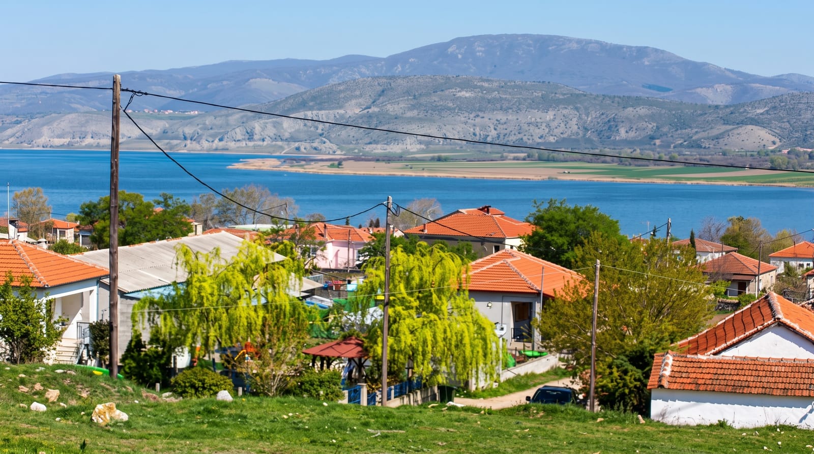
Vegoritida covers about 54 square kilometres at 540 metres and reaches seventy metres deep, held in a basin between the Vermio and Voras ranges. Its level has swung sharply over the past century, dropping severely in the mid-twentieth century as water was drawn for industry and irrigation and recovering since, which left drowned shorelines and, in low periods, exposed buildings. The village of Agios Panteleimon sits on the western shore with tavernas serving lake fish, and the eastern side is quieter, with vineyards and orchards on the slopes. Cormorants, herons and pelicans use the water, and in winter the surrounding hills are often snow-dusted while the lake stays open.
What you'll find
- The lake basin - deep blue water between bare mountain ranges.
- Agios Panteleimon - the shore village with fish tavernas.
- The changing shoreline - marks and structures left by past water levels.
- The birds - cormorants, herons and wintering pelicans.
When to go
Late spring and autumn for the best light and comfortable temperatures; winter can be beautiful with snow on the ranges. Summer is hot and the shore offers little shade.
Good to know
There is very little tourist infrastructure: no organised swimming areas, few facilities and no boat trips in most seasons. Parts of the shore are industrial or agricultural. This is a scenic drive and a lunch stop rather than a destination.
Nearby
Edessa's waterfalls lie east; Nymfaio and the Florina highlands are west.
Key facts
Source: Wikidata, item Q281748, read on 18 October 2026.
What to pack for Lake Vegoritida
Chosen from what this place is for. Tap a kit for the full checklist.
- Reef-safe sunscreen - High SPF that will not bleach the coral you are swimming over. Find on Amazon
- Warm base layers - Merino or synthetic against the skin - never cotton, which chills when damp. Find on Amazon
- Quick-dry towel - A microfibre towel packs small and dries in minutes. Find on Amazon
- An insulated + windproof jacket - A down or synthetic layer under a hard shell handles most cold. Find on Amazon
Some links on this page are Amazon affiliate links - if you buy through them we may earn a small commission at no extra cost to you.
All packing kitsPlan your trip
Where to start if Lake Vegoritida is going on the list.
Booking links on this page are affiliate links - if you book through them we may earn a small commission at no extra cost to you. It never changes what we write about a place.
Opening times, ticket prices and seasonal closures change - check the official source before you go: official site.