Gorges de l'Ardeche
Thirty kilometres of limestone canyon entered under a natural arch the river cut for itself.
Updated 21 October 2026
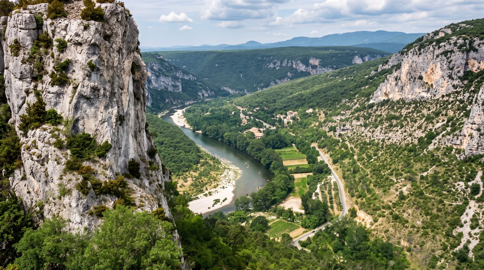
AI illustration
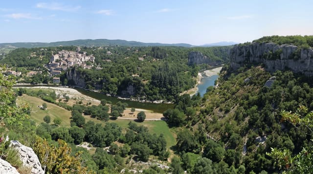
The Ardeche runs about thirty kilometres through a canyon up to three hundred metres deep, and it begins at the Pont d'Arc, a natural arch fifty-four metres high overall, its opening some fifty-nine metres wide and thirty-four high, that the river cut by breaking through the neck of a meander. A rim road with about a dozen belvederes follows the canyon from Vallon to Saint-Martin, but the classic approach is by canoe: the standard run is two days with a night at one of two authorised bivouac areas inside the reserve, and there is no exit in between. The canyon is a national nature reserve with Bonelli's eagles and beavers.
The landscape
- The Pont d'Arc - a natural arch the river cut through a meander neck.
- The rim belvederes - about a dozen viewpoints along the road.
- The two-day paddle - the canoe descent with an overnight bivouac.
- The reserve wildlife - eagles, beavers and vultures in the canyon.
When to go
May, June and September for water levels and space; July and August are extremely crowded on the water and hot on the rim. Levels can be too low in late summer and too high after storms.
What to expect
Once committed to the canoe descent there is no way out until the end, and rescue is difficult. Summer crowds on the river are severe. Wild camping outside the two bivouacs is prohibited and enforced.
Nearby
Chauvet 2 lies close to Vallon; the Aven d'Orgnac is south.
Key facts
Source: Wikidata, item Q1538216, read on 18 October 2026.
What to pack for Gorges de l'Ardeche
Chosen from what this place is for. Tap a kit for the full checklist.
- Broken-in walking shoes or boots - Grip and ankle support matter more than looks; never hike in brand-new boots. Find on Amazon
- Quick-dry clothing - Board shorts or synthetics that shrug off spray and dry fast. Find on Amazon
- Binoculars - The single best wildlife tool - even a compact pair transforms a sighting. Find on Amazon
- Shelter suited to the place - Tent, tarp or hut booking - match it to the terrain and rules. Find on Amazon
Some links on this page are Amazon affiliate links - if you buy through them we may earn a small commission at no extra cost to you.
All packing kitsPlan your trip
Where to start if Gorges de l'Ardeche is going on the list.
Booking links on this page are affiliate links - if you book through them we may earn a small commission at no extra cost to you. It never changes what we write about a place.
Opening times, ticket prices and seasonal closures change - check the official source before you go: official site.