Sørvágsvatn
The lake that appears to hang above the ocean - an optical illusion created by a clifftop viewpoint, and one of the great Faroese hikes.
Updated 21 October 2026
AI illustration
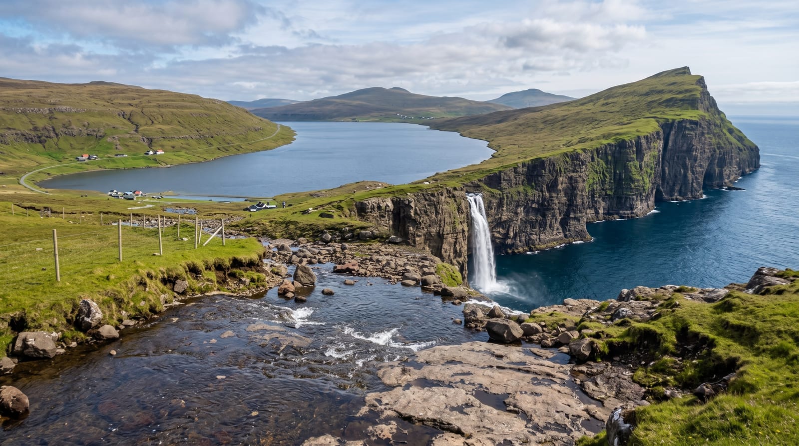
Sorvagsvatn is the largest lake in the Faroes, and from the right angle at its southern end it looks as though it sits hundreds of metres above the sea, held back by nothing - one of the most striking optical illusions in landscape photography. The reality is more modest: the lake surface is only about thirty metres above sea level, and the effect comes from the viewpoint's height and the angle of the cliffs. It remains extraordinary in person. The walk out follows the lake shore for about an hour to the cliffs, where Bosdalafossur falls from the lake straight into the ocean.
What you'll find
- The illusion viewpoint - the angle where the lake appears to hang above the sea.
- Bosdalafossur - the lake's outflow falling into the Atlantic.
- Traelanipa cliff - the sheer drop beside the viewpoint.
- The lakeside walk - the flat hour out along the water.
When to go
May to September for the walking season and green ground. Fog rolls in fast and often, hiding the whole thing - allowing more than one day on Vagar improves the odds. Winter walking is possible but exposed and icy.
What to expect
The trail crosses private land and a landowner fee is collected at the start, which is legitimate and standard in the Faroes now. The path is boggy and often muddy despite being flat. Cliff edges are unfenced with a sheer drop - the famous angle requires standing near the edge, and wind gusts here are severe. Fog is a genuine risk to the whole visit.
Nearby
Gasadalur, Vagar airport and the Mykines ferry from Sorvagur.
Key facts
Source: Wikidata, item Q932408, read on 18 October 2026.
What to pack for Sørvágsvatn
Chosen from what this place is for. Tap a kit for the full checklist.
- Broken-in walking shoes or boots - Grip and ankle support matter more than looks; never hike in brand-new boots. Find on Amazon
- Reef-safe sunscreen - High SPF that will not bleach the coral you are swimming over. Find on Amazon
- Layers + a waterproof shell - Mountain weather turns fast; a packable rain jacket saves the day. Find on Amazon
- Quick-dry towel - A microfibre towel packs small and dries in minutes. Find on Amazon
Some links on this page are Amazon affiliate links - if you buy through them we may earn a small commission at no extra cost to you.
All packing kitsPlan your trip
Where to start if Sørvágsvatn is going on the list.
Booking links on this page are affiliate links - if you book through them we may earn a small commission at no extra cost to you. It never changes what we write about a place.
Opening times, ticket prices and seasonal closures change - check the official source before you go: official site.