Fugloy
The easternmost of the Faroe Islands, with two tiny villages linked by a single road along the cliffs.
Updated 21 October 2026
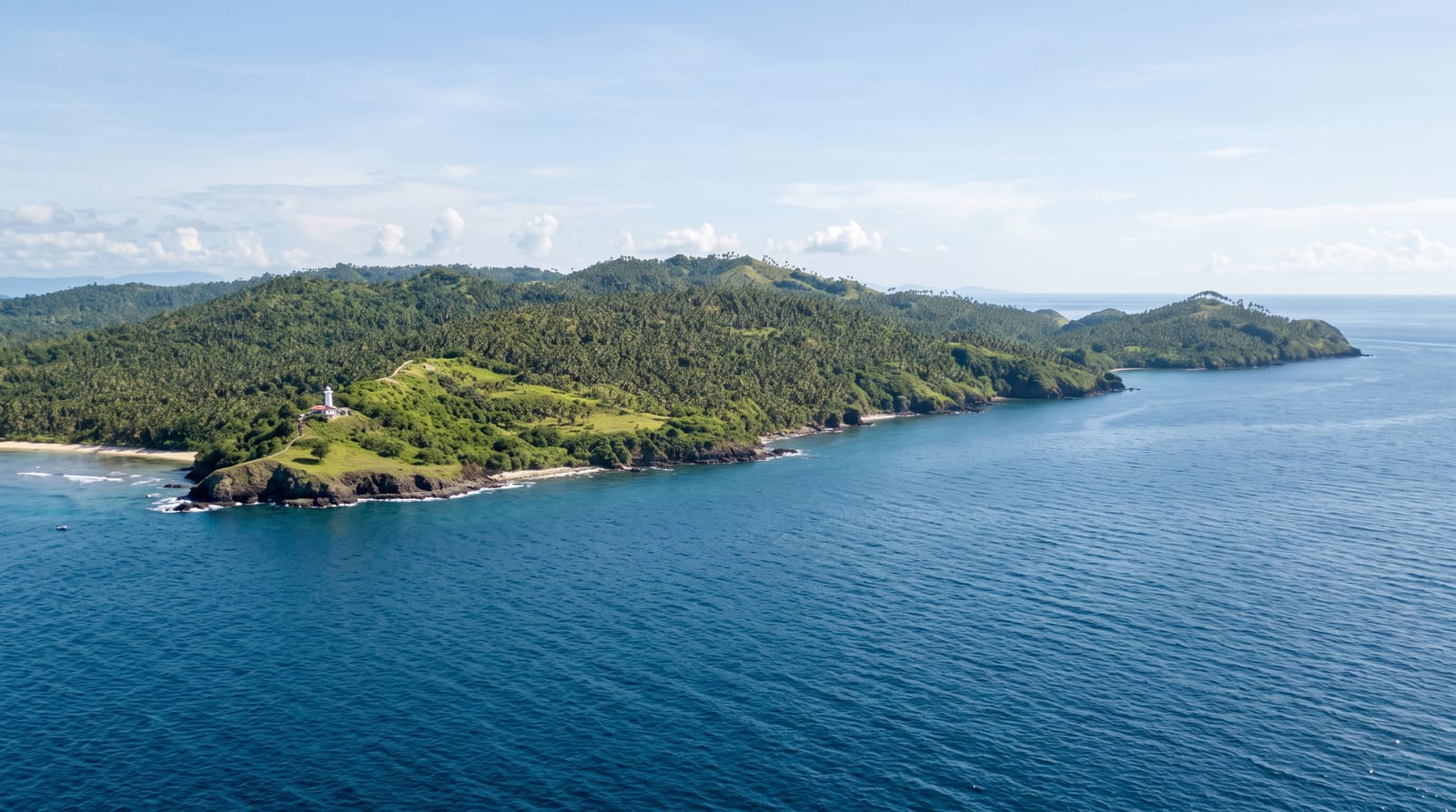
Fugloy means bird island, and it is the easternmost point of the archipelago, a steep-sided island with two settlements, Kirkja and Hattarvík, joined by a single road, built in the 1980s, along the slope above the sea. Between them live a couple of dozen people. The ferry from Hvannasund calls at both, weather permitting, and the helicopter serves them as a lifeline. Cliffs on the eastern side hold large seabird colonies. Both villages sit on shelves above the sea with the ground rising steeply behind them, and beyond that one road the island is walked rather than driven.
History
Fugloy, "bird island", has been inhabited since the Viking Age, and it is remembered in the medieval story of the Floksmenn, a band of rebels from Hattarvík and elsewhere who long raided the northern islands until they were caught and sentenced to death. With no breakwater to shelter its landing, the island never grew beyond farming, some fishing and the catching of puffins; at its peak, early in the 20th century, it had some 250-300 people. It got electricity in the 1960s, and in the 1980s a road was built from Kirkja to Hattarvík and a helicopter route opened, while the 1950s mail boat Másin served it until 2010; today about five people live year-round in Hattarvík and some 20 in Kirkja (Wikipedia, Fugloy).
What you'll find
- Kirkja and Hattarvik - the two villages and the road between them.
- The eastern cliffs - seabird colonies on the island's exposed side.
- The easternmost point - the far edge of the archipelago.
- The lifeline services - the ferry and helicopter that keep the island connected.
When to go
June to August is the practical window. Landings depend on swell and are cancelled frequently. Helicopter seats must be booked well ahead.
Things to know
Ferry landings fail often and being stranded overnight is a real risk. There is no accommodation to speak of and only one small shop. The road between the villages is exposed.
Nearby
Svinoy is southwest, and Vidoy is west.
Key facts
Source: Wikidata, item Q210313, read on 18 October 2026.
What to pack for Fugloy
Chosen from what this place is for. Tap a kit for the full checklist.
- Travel rod + reel - A packable multi-piece rod fits in a case and covers most holiday fishing. Find on Amazon
- Reef-safe sunscreen - High SPF that will not bleach the coral you are swimming over. Find on Amazon
- Shelter suited to the place - Tent, tarp or hut booking - match it to the terrain and rules. Find on Amazon
- A small tackle selection - Hooks, weights, line and a few lures or flies suited to local waters. Find on Amazon
Some links on this page are Amazon affiliate links - if you buy through them we may earn a small commission at no extra cost to you.
All packing kitsPlan your trip
Where to start if Fugloy is going on the list.
Booking links on this page are affiliate links - if you book through them we may earn a small commission at no extra cost to you. It never changes what we write about a place.
Opening times, ticket prices and seasonal closures change - check the official source before you go: official site.