Akraberg
The southernmost point of the Faroes, a headland with a lighthouse and a fierce tidal race offshore.
Updated 16 October 2026
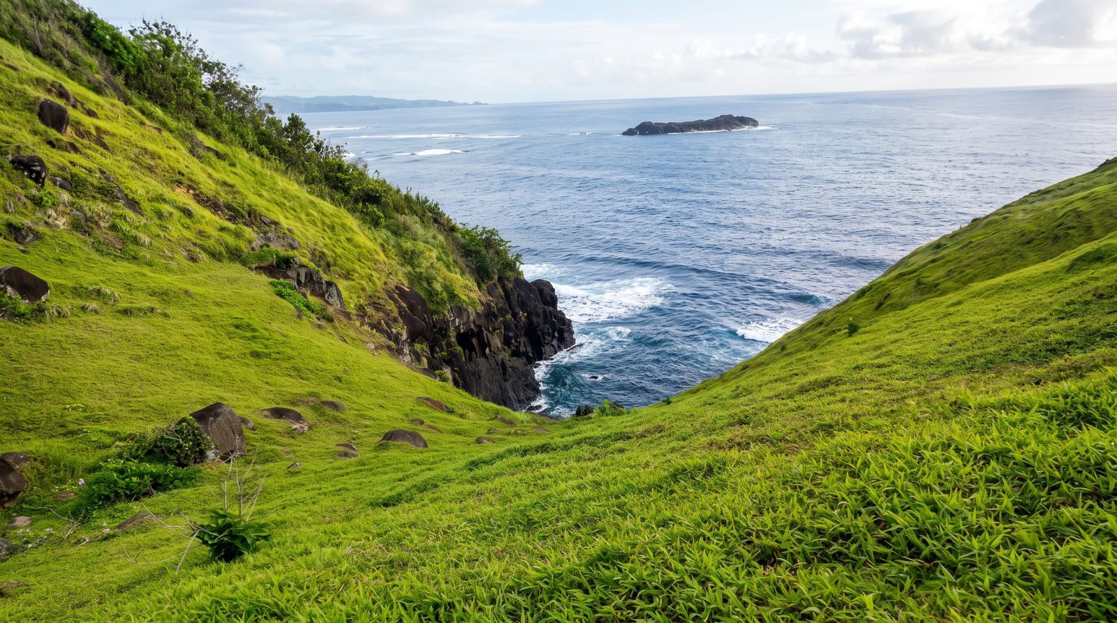
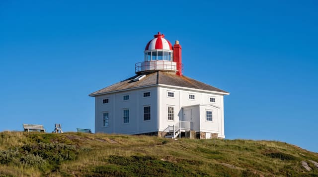
Akraberg is the southernmost point of the Faroe Islands, a low headland below Sumba with a lighthouse of 1909 standing on it and the open Atlantic beyond. The tidal streams meeting off the point produce a violent race that has wrecked ships repeatedly. A ruined settlement above the headland is said in tradition to have been founded by outlaws from Shetland. Seals haul out on the rocks below. A Faroese name for the water off the point translates roughly as the roaring, which is what the meeting streams sound like from the headland on a big day.
Background
The name comes from akur, a cereal field, and the headland lies 5 km south of the village of Sumba. Five kilometres further south stands Munkurin, The Monk, also called Sumbiarsteinur, one of a group of six rocks known as Flesjarnar. In 1884 much of its high rock fell into the sea, and sailors lost their best fixed landmark. The 1909 lighthouse is a white cylindrical tower 14 metres tall with a red lantern roof, and its light sits 94 metres above sea level. The keeper's family left after the Christmas Hurricane of December 1988, and nobody has lived here since. Faroese legend places a Frisian colony here from 1040 until the Black Death around 1350.
Source: Wikipedia, "Akraberg"
The main sights
- The southernmost point - the far end of the archipelago.
- The 1909 lighthouse - the tower on the headland.
- The tidal race - the violent water where the streams meet offshore.
- The ruined settlement - the abandoned site above the point.
When to go
May to September is the season. The headland is fully exposed and wind is constant. Fog closes the view often.
What to expect
The track out is rough and the headland is unfenced above the sea. Wind here is severe and can make standing difficult. There is no shelter of any kind.
Nearby
Sumba is north, and Beinisvord is beyond it.
Key facts
Source: Wikidata, item Q301633, read on 18 October 2026.
What to pack for Akraberg
Chosen from what this place is for. Tap a kit for the full checklist.
- Comfortable walking shoes - Sightseeing means kilometres of pavement and cobbles daily. Find on Amazon
- A slim anti-theft daypack - Zips that close properly; keep it in front in crowds and on transit. Find on Amazon
- A refillable water bottle - Many cities have public fountains; save money and plastic. Find on Amazon
- A light layer + compact umbrella - For museum air-con and a sudden shower. Find on Amazon
Some links on this page are Amazon affiliate links - if you buy through them we may earn a small commission at no extra cost to you.
All packing kitsPlan your trip
Where to start if Akraberg is going on the list.
Booking links on this page are affiliate links - if you book through them we may earn a small commission at no extra cost to you. It never changes what we write about a place.
Opening times, ticket prices and seasonal closures change - check the official source before you go: official site.