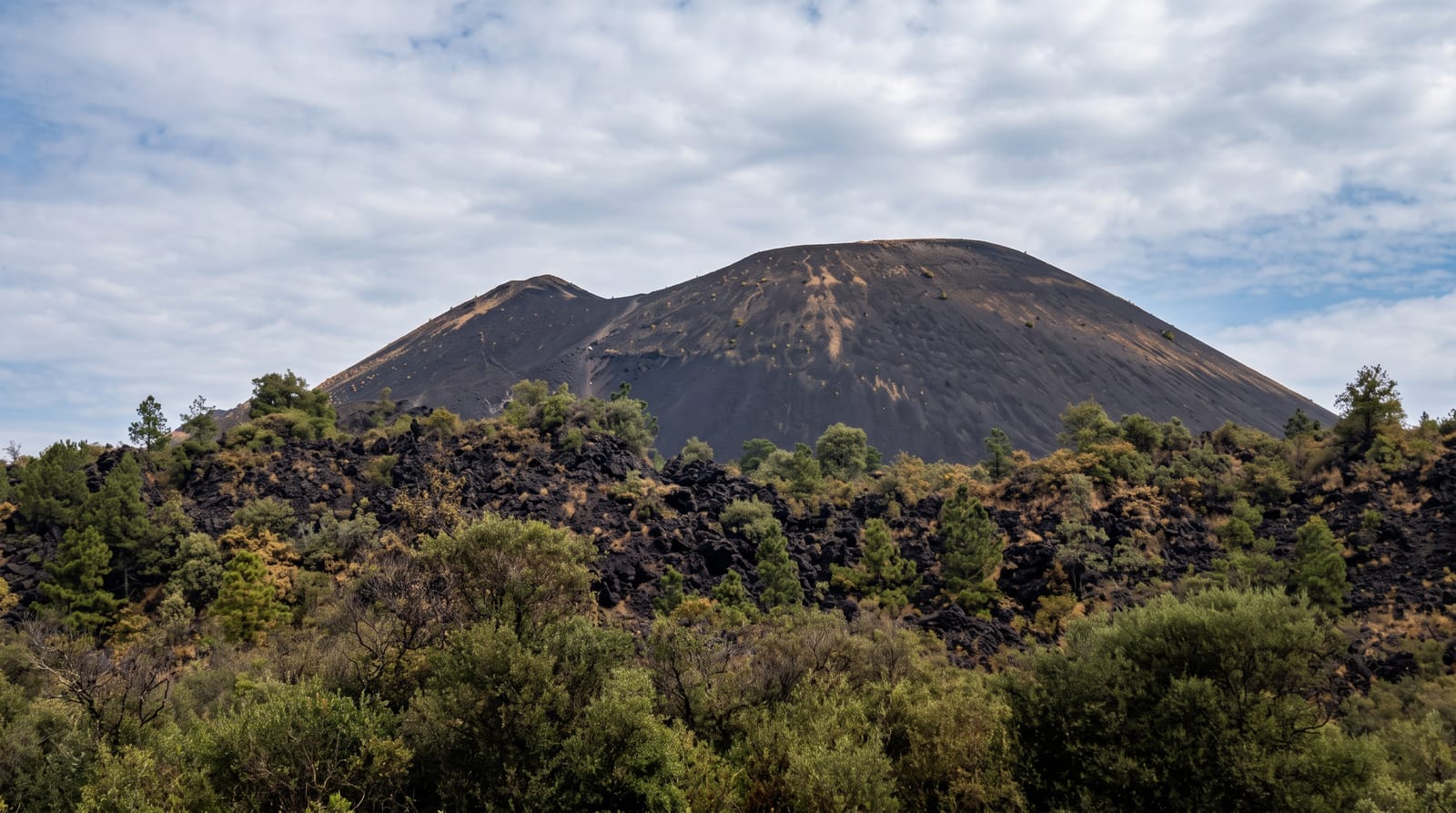
Mount Zuqualla
A forested volcano south of Bishoftu with a crater lake and monastery on the rim, a pilgrimage site twice a year.
Updated 21 October 2026
Zuqualla rises to about 3,000 metres from the Rift floor south of Bishoftu, an isolated extinct volcano whose slopes carry one of the better patches of dry highland forest in the region, with colobus monkeys and a good bird list, and whose crater holds a lake around a kilometre across. On the rim stands the monastery of Zuqualla Maryam, founded by tradition by the saint Gebre Menfes Kidus, known locally as Abbo, whose shrine draws pilgrims; two annual pilgrimages, in March and October, bring very large numbers up the mountain on foot. The track to the rim is rough and steep and needs a four-wheel drive, or several hours on foot. From the top the view runs across the Rift valley on a clear day.
History
In the Paleolithic an eruption of Mount Zuqualla covered the Melka Kunture fossil site with volcanic deposits. In the Middle Ages the region belonged to the Ifat Sultanate and had a large Muslim population until Amda Seyon I conquered it, and in 1450 the mountain appears on the Fra Mauro map. The monastery by the crater lake is said to have been founded by Gebre Menfes Kidus on the site of a hermitage of Saint Mercurius; Imam Ahmad ibn Ibrahim destroyed it in 1531 and looted a church at the foot of the mountain, and two churches were later built at the monastery, one to Gebre Menfes Kidus built by Menelik II in 1880 to a design by the Italian Sebastian Castagna, the other to Kidane Mihret in the reign of Haile Selassie. The explorers Orazio Antinori, Antonelli and Antonio Cecchi used the mountain for survey readings in May 1881, and in 1926 Dr Scott made a large insect collection near it for Cambridge University and the British Museum. The mountain and its lake are holy to both the Ethiopian Orthodox Church and the local Oromo (Wikipedia, Mount Zuqualla).
Highlights
- The crater lake - water filling the summit crater.
- Zuqualla Maryam - the rim monastery and its shrine.
- Highland forest - colobus monkeys and birds on the slopes.
- Rift valley views - the plain below on clear days.
When to go
October to March for the track. The two pilgrimages, around March and October, fill the mountain and are the most interesting and the most crowded times. Rains from June to September make the track impassable.
Practical notes
The track up is genuinely rough and a capable vehicle with a driver who knows it is needed. Walking up takes several hours. Women may face restrictions at parts of the monastery. During pilgrimages the mountain is extremely crowded and litter is a problem. No facilities on the rim.
Nearby
Bishoftu lies north; Addis Ababa is beyond it.
Key facts
Source: Wikidata, item Q230269, read on 18 October 2026.
What to pack for Mount Zuqualla
Chosen from what this place is for. Tap a kit for the full checklist.
- Broken-in walking shoes or boots - Grip and ankle support matter more than looks; never hike in brand-new boots. Find on Amazon
- Layers for big temperature swings - Warm sun by day, near-freezing at night, even near the equator. Find on Amazon
- Modest clothing - Shoulders and knees covered - the single most common requirement. Find on Amazon
- Layers + a waterproof shell - Mountain weather turns fast; a packable rain jacket saves the day. Find on Amazon
Some links on this page are Amazon affiliate links - if you buy through them we may earn a small commission at no extra cost to you.
All packing kitsPlan your trip
Where to start if Mount Zuqualla is going on the list.
Booking links on this page are affiliate links - if you book through them we may earn a small commission at no extra cost to you. It never changes what we write about a place.
Opening times, ticket prices and seasonal closures change - check the official source before you go: official site.