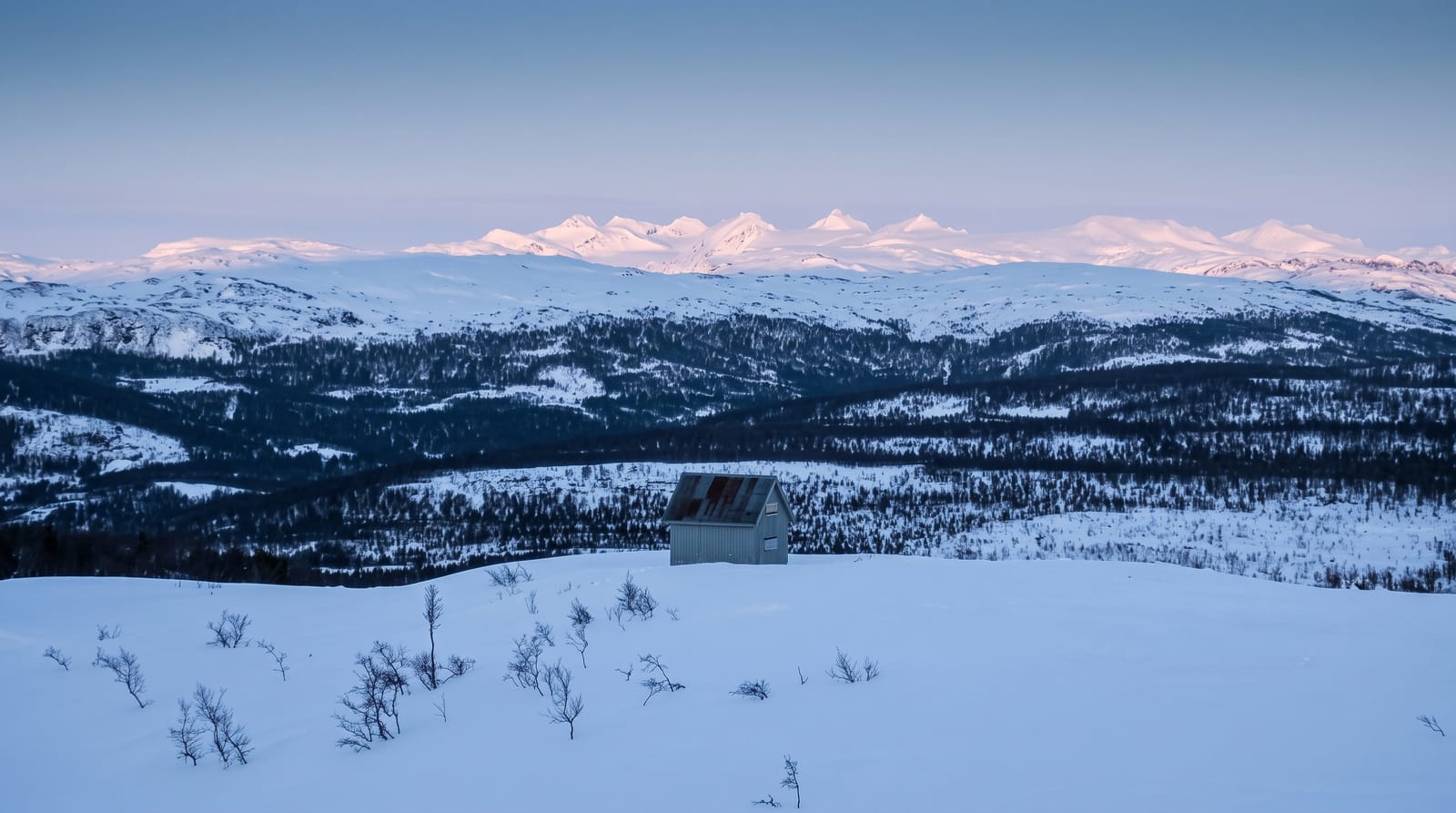
Lubombo Mountains
The long basalt ridge along Eswatini's eastern border, flat on top and steep on the west.
Updated 3 September 2026
The Lubombo range runs the length of Eswatini's eastern edge and on into Mozambique and South Africa, a ridge of basalt laid down by ancient volcanic flows, steep on its western face where it rises out of the lowveld and flat on top where the plateau carries villages and farmland. The Great Usutu cuts through it in a gorge. Several reserves protect its western slope and the ridge is a biodiversity hotspot.
What's there
- The western face - the steep escarpment rising out of the lowveld.
- The flat top - the plateau carrying villages and farmland.
- The Usutu gorge - where the river cuts right through the range.
- The basalt - the ancient volcanic rock the whole ridge is made of.
When to go
May to September is the dry winter, cooler and clearer. Summer is hot and humid on both sides. Mist covers the plateau at times.
What to expect
There is no single viewpoint or trail and the range is covered piecemeal through the reserves and roads. Access to much of the plateau crosses community land. Roads climbing the escarpment are rough in places.
Nearby
Siteki is on the plateau, and Mlawula is on the western slope.
Key facts
Source: Wikidata, item Q1501766, read on 18 October 2026.
What to pack for Lubombo Mountains
Chosen from what this place is for. Tap a kit for the full checklist.
- Broken-in walking shoes or boots - Grip and ankle support matter more than looks; never hike in brand-new boots. Find on Amazon
- Strong insect repellent - DEET or picaridin; the jungle is where bites and disease risk are highest. Find on Amazon
- Layers + a waterproof shell - Mountain weather turns fast; a packable rain jacket saves the day. Find on Amazon
- Long, light, quick-dry clothing - Covers skin from insects and sun without cooking you in the humidity. Find on Amazon
Some links on this page are Amazon affiliate links - if you buy through them we may earn a small commission at no extra cost to you.
All packing kitsPlan your trip
Where to start if Lubombo Mountains is going on the list.
Booking links on this page are affiliate links - if you book through them we may earn a small commission at no extra cost to you. It never changes what we write about a place.
Opening times, ticket prices and seasonal closures change - check the official source before you go: official site.