The Moka Highlands
Bioko's cool green roof - crater lakes, primate forest and highland villages at 1,400 metres, the island's walking country.
Updated 7 August 2026
AI illustration
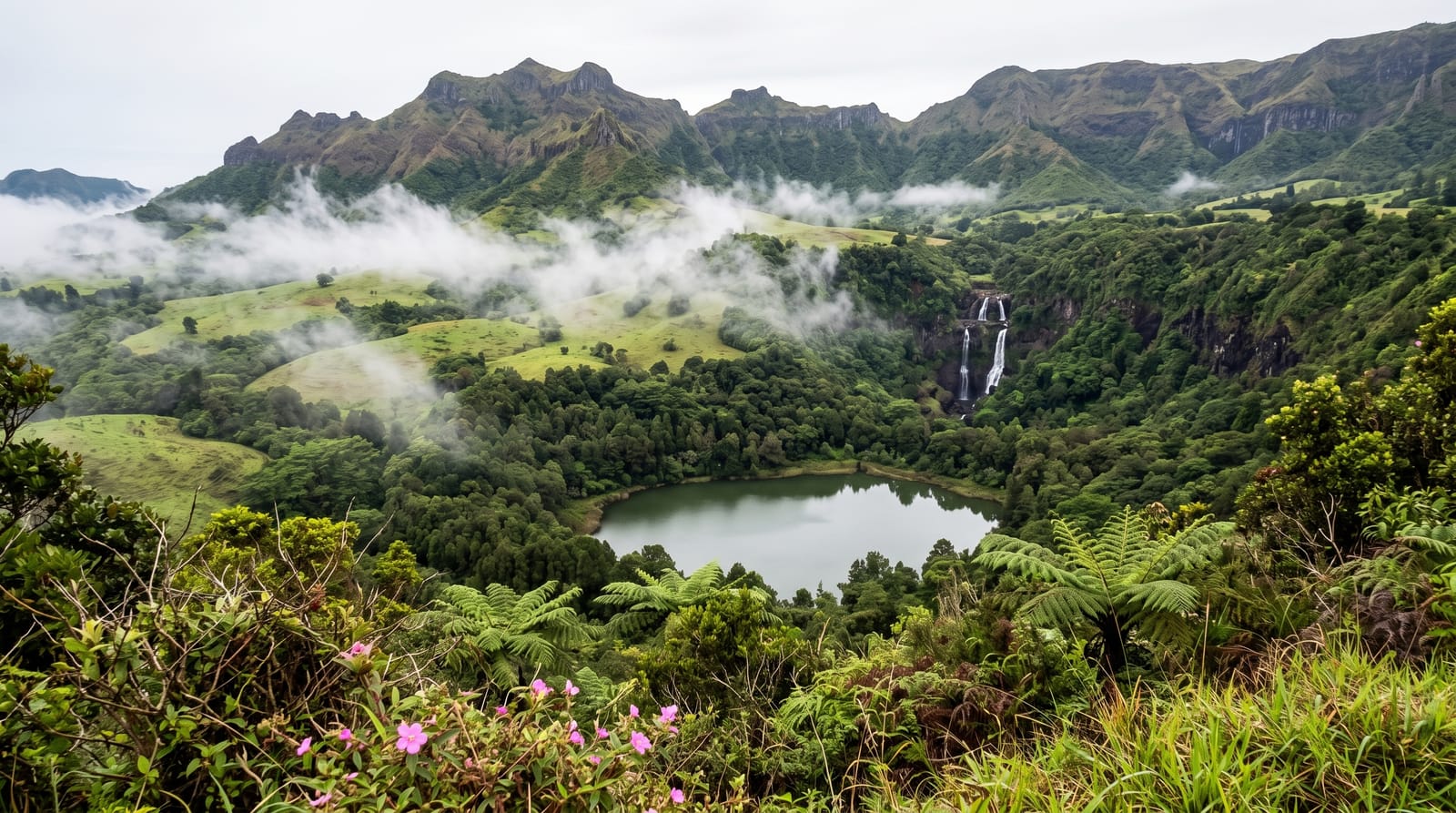
At 1,400 metres in Bioko's southern highlands, Moka trades the coast's steam for sweater mornings: a green bowl of pastures and giant ferns where the island's walking gathers - trails to the Biao crater lake in its forest ring, the Iladyi cascades' triple drop into a jungle gorge, and ridge paths where drills, monkeys and Bioko's endemic birds work the canopy. The village hosts a research station's legacy of primate study, guides organise the lake and cascade days, and the highland light - mist rolling the pastures, volcano slopes above - makes the valley the island's most companionable base.
The landscape
- Lake Biao - the crater lake in its forest ring.
- The Iladyi cascades - the triple falls into the gorge.
- The drill forests - Bioko's rare primates on the ridge trails.
- The highland pastures - mist, ferns and volcano light.
When to go
November to February for the driest trails and clearest ridges; mornings everywhere - the mist owns afternoons. The cascades run fullest just after the rains taper.
Good to know
Trails are guided arrangements with village fees - the system that keeps them open; distances and mud are honest, and the lake day is a full one. Accommodation is simple lodge-and-guesthouse. Permits and current arrangements are best confirmed in Malabo before the drive.
Nearby
Ureca's coast beyond the ridge, Luba and Malabo.
What to pack for The Moka Highlands
Chosen from what this place is for. Tap a kit for the full checklist.
- Broken-in walking shoes or boots - Grip and ankle support matter more than looks; never hike in brand-new boots. Find on Amazon
- Spare batteries + cards - Cold and long shoots drain power; never run out at the good light. Find on Amazon
- Strong insect repellent - DEET or picaridin; the jungle is where bites and disease risk are highest. Find on Amazon
- Layers + a waterproof shell - Mountain weather turns fast; a packable rain jacket saves the day. Find on Amazon
Some links on this page are Amazon affiliate links - if you buy through them we may earn a small commission at no extra cost to you.
All packing kitsPlan your trip
Where to start if The Moka Highlands is going on the list.
Booking links on this page are affiliate links - if you book through them we may earn a small commission at no extra cost to you. It never changes what we write about a place.
Opening times, ticket prices and seasonal closures change - check the official source before you go: official site.