The Cabot Trail, Cape Breton
One of the world's great scenic drives - a coastal road winding over the highlands of Cape Breton Island, past ocean cliffs, forests and Celtic fishing villages in Nova Scotia.
Updated 7 August 2026
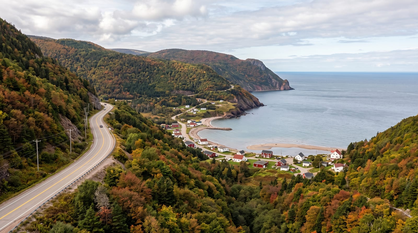
AI illustration
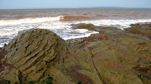
Real photos (1)
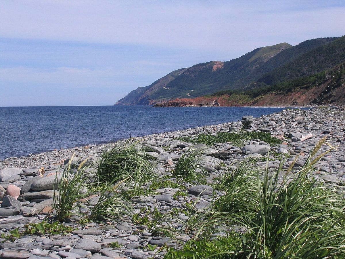
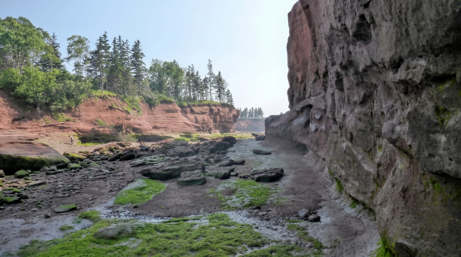
The Cabot Trail is one of the most beautiful scenic drives in the world, a road that loops around the rugged northern highlands of Cape Breton Island in Nova Scotia. It climbs over forested plateaus and plunges to the coast, with sweeping views of ocean cliffs, hidden coves and whale-rich waters, passing through Celtic and Acadian fishing villages where Gaelic and fiddle music still live.
What's there
- The coastal viewpoints - the clifftop pull-offs over the ocean.
- Cape Breton Highlands National Park - the plateau, trails and Skyline hike.
- The fishing villages - the Celtic and Acadian communities and their music.
- The wildlife - the whales, moose and bald eagles along the way.
When to go
Summer to autumn, June to October, for the best weather and open services; late September and October bring spectacular fall colour to the highlands. Many services close in winter, when the trail is snowbound.
Practical notes
It is remote, far out in eastern Canada, so reaching Cape Breton is a journey in itself. Many services and attractions close outside the summer-to-autumn season. The drive is long, best over a couple of days with stops, and the weather on the highlands can be foggy and changeable.
Nearby
The Fortress of Louisbourg and the Bras d'Or Lake are on the island; Halifax is a few hours south.
What to pack for The Cabot Trail, Cape Breton
Chosen from what this place is for. Tap a kit for the full checklist.
- Broken-in walking shoes or boots - Grip and ankle support matter more than looks; never hike in brand-new boots. Find on Amazon
- Travel rod + reel - A packable multi-piece rod fits in a case and covers most holiday fishing. Find on Amazon
- Binoculars - The single best wildlife tool - even a compact pair transforms a sighting. Find on Amazon
- Spare batteries + cards - Cold and long shoots drain power; never run out at the good light. Find on Amazon
Some links on this page are Amazon affiliate links - if you buy through them we may earn a small commission at no extra cost to you.
All packing kitsPlan your trip
Where to start if The Cabot Trail, Cape Breton is going on the list.
Booking links on this page are affiliate links - if you book through them we may earn a small commission at no extra cost to you. It never changes what we write about a place.
Opening times, ticket prices and seasonal closures change - check the official source before you go: official site.