Burntcoat Head
The place with the highest recorded tides on earth, where visitors walk on the sea floor between them.
Updated 19 October 2026
AI illustration
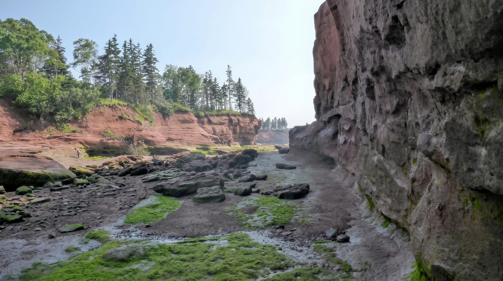
Burntcoat Head holds the record for the highest tides ever recorded, a range of about sixteen and a half metres, produced because the Minas Basin narrows and shallows at exactly the point where its natural resonance matches the tidal cycle. At low tide a stairway leads down onto the sea floor and visitors walk out among rock formations, tidal pools and mudflats that will be under fifteen metres of water within six hours. A replica lighthouse on the headland houses interpretation. The tide comes in fast, and the park posts safe windows; people have needed rescue for ignoring them.
History
The Mi'kmaq lived around the bay for thousands of years, its name from their word for the bay runs far up, and Acadians settled the point, building a chapel there before they left in 1750, after which the Faulkner brothers, Ulster Scots from Massachusetts, took the land. The first lighthouse was built in 1858 on land that later became an island and was lost to erosion, and the second was built on the mainland in 1913, kept by William Faulkner and his family, on the site of today's replica (Wikipedia, Burntcoat, Nova Scotia).
What's there
- The exposed sea floor - walking where fifteen metres of water will be.
- The record tide range - about sixteen and a half metres, the world's highest.
- The tidal pools - rock basins and formations on the ocean floor.
- The replica lighthouse - interpretation on the headland above.
When to go
May to October, and specifically in the window either side of low tide, which shifts about an hour daily and is posted at the site. Outside that window there is only water.
Good to know
The tide returns fast enough to strand people and the mud is deep. The safe window is a couple of hours and is enforced by common sense rather than barriers. Arriving at high tide shows nothing.
Nearby
The Shubenacadie tidal bore is east; Truro is northeast.
Key facts
Source: Wikidata, item Q5000246, read on 18 October 2026.
What to pack for Burntcoat Head
Chosen from what this place is for. Tap a kit for the full checklist.
- Broken-in walking shoes or boots - Grip and ankle support matter more than looks; never hike in brand-new boots. Find on Amazon
- Layers + a waterproof shell - Mountain weather turns fast; a packable rain jacket saves the day. Find on Amazon
- Daypack with rain cover - 20-30 litres holds water, snacks, layers and a first-aid kit. Find on Amazon
- Offline maps + a power bank - Download the trail before you lose signal; carry backup charge. Find on Amazon
Some links on this page are Amazon affiliate links - if you buy through them we may earn a small commission at no extra cost to you.
All packing kitsPlan your trip
Where to start if Burntcoat Head is going on the list.
Booking links on this page are affiliate links - if you book through them we may earn a small commission at no extra cost to you. It never changes what we write about a place.
Opening times, ticket prices and seasonal closures change - check the official source before you go: official site.


