Cape Split
A headland above the narrows where fourteen billion tonnes of water pass twice a day, audibly.
Updated 21 October 2026
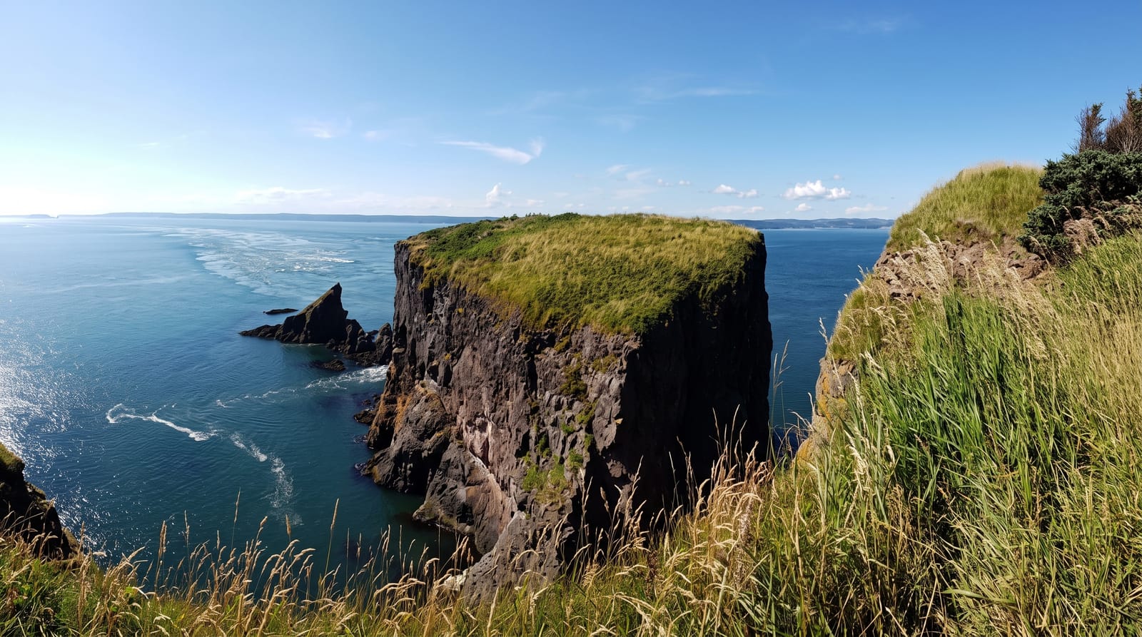
AI illustration
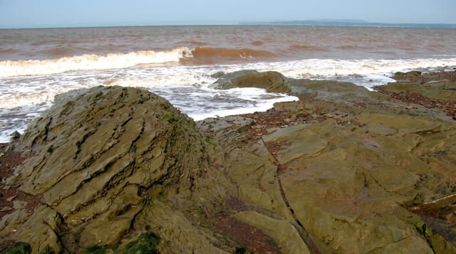
Cape Split runs out into the Minas Channel, the narrows through which the Bay of Fundy tide enters the Minas Basin; roughly fourteen billion tonnes of water pass through with each tide, more than the combined flow of every freshwater river on earth, and the current running past the cape can be heard from the clifftop as a sustained roar. The hike is about thirteen kilometres return through hardwood forest to a grassy headland with sea stacks below and drops of over sixty metres on unfenced edges. Bald eagles and peregrines use the cliffs.
The landscape
- The tidal roar - the sound of the current audible from the headland.
- The grassy point - an open clifftop meadow at the end of the walk.
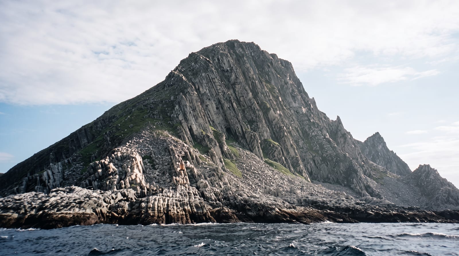
- The sea stacks - rock towers separated from the cape below.
- The Minas Channel - the narrows the whole Fundy tide passes through.
When to go
May to October; the trail is muddy in spring and icy in winter. Time the walk for a running tide rather than slack water to hear the current. Allow four to five hours.
Good to know
The thirteen-kilometre return walk is longer than many expect and the last section is rooted and rough. The clifftop is unfenced with drops of over sixty metres. Parking is limited.
Nearby
Wolfville lies south; Burntcoat Head is east across the basin.
Key facts
Source: Wikidata, item Q2937114, read on 18 October 2026.
What to pack for Cape Split
Chosen from what this place is for. Tap a kit for the full checklist.
- Broken-in walking shoes or boots - Grip and ankle support matter more than looks; never hike in brand-new boots. Find on Amazon
- Layers + a waterproof shell - Mountain weather turns fast; a packable rain jacket saves the day. Find on Amazon
- Daypack with rain cover - 20-30 litres holds water, snacks, layers and a first-aid kit. Find on Amazon
- Offline maps + a power bank - Download the trail before you lose signal; carry backup charge. Find on Amazon
Some links on this page are Amazon affiliate links - if you buy through them we may earn a small commission at no extra cost to you.
All packing kitsPlan your trip
Where to start if Cape Split is going on the list.
Booking links on this page are affiliate links - if you book through them we may earn a small commission at no extra cost to you. It never changes what we write about a place.
Opening times, ticket prices and seasonal closures change - check the official source before you go: official site.