Knivskjellodden
The actual northernmost point of mainland Europe's island tip, reached by a nine-kilometre walk rather than a bus.
Updated 4 September 2026

AI illustration
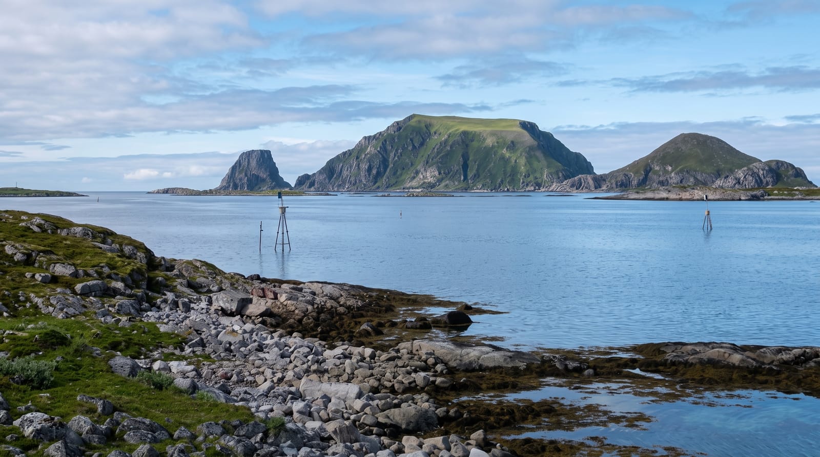
Knivskjellodden reaches 71 degrees 11 minutes north, about fifteen hundred metres further north than the Nordkapp plateau where the visitor centre, the globe monument and the coach parties are, which makes it the northernmost point of the island of Mageroya and a matter of some satisfaction to those who walk out to it. The route is about nine kilometres each way from a car park on the E69, crossing open tundra, bog and rock, descending to the headland and then climbing back, five to seven hours in total. There is nothing at the end but a cairn with a visitors' book in a box and the Barents Sea. Neither point is on the mainland proper; that distinction belongs to Kinnarodden further east.
What's there
- The northern point - ground further north than the Nordkapp plateau.
- The cairn and book - a marker with a visitors' register at the end.
- The tundra crossing - nine kilometres of open bog, rock and moss.
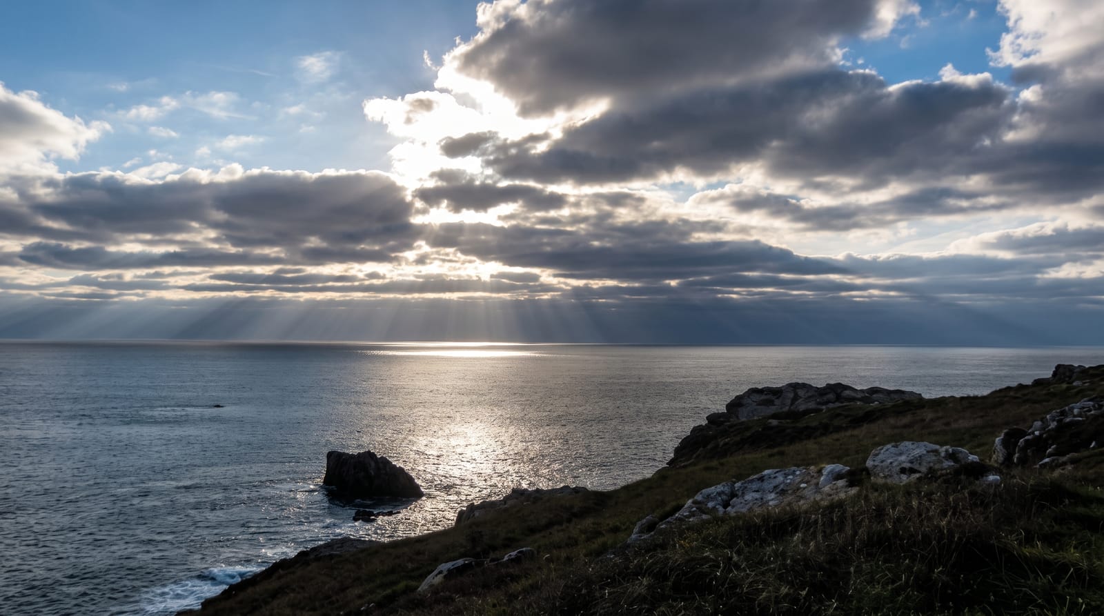
- The Barents Sea - open Arctic water off the headland.
When to go
June to September, when the route is snow-free; the midnight sun runs from mid-May to late July. Weather can turn to fog or sleet at any time, and the tundra offers no shelter whatever.
Before you go
The walk is long and the return climb tiring, with wet bog throughout and no facilities of any kind. The path is marked but easy to lose in fog. There is nothing at the destination but a cairn, which some find anticlimactic.
Nearby
Nordkapp and its visitor centre are along the E69; Gjesvaer and the bird islands lie west.
Key facts
Source: Wikidata, item Q686248, read on 18 October 2026.
What to pack for Knivskjellodden
Chosen from what this place is for. Tap a kit for the full checklist.
- Broken-in walking shoes or boots - Grip and ankle support matter more than looks; never hike in brand-new boots. Find on Amazon
- Spare batteries + cards - Cold and long shoots drain power; never run out at the good light. Find on Amazon
- Warm base layers - Merino or synthetic against the skin - never cotton, which chills when damp. Find on Amazon
- Layers + a waterproof shell - Mountain weather turns fast; a packable rain jacket saves the day. Find on Amazon
Some links on this page are Amazon affiliate links - if you buy through them we may earn a small commission at no extra cost to you.
All packing kitsPlan your trip
Where to start if Knivskjellodden is going on the list.
Booking links on this page are affiliate links - if you book through them we may earn a small commission at no extra cost to you. It never changes what we write about a place.
Opening times, ticket prices and seasonal closures change - check the official source before you go: official site.