Kinnarodden
The northernmost point of mainland Europe, reached only by a long trek across the Nordkyn peninsula.
Updated 4 September 2026
AI illustration
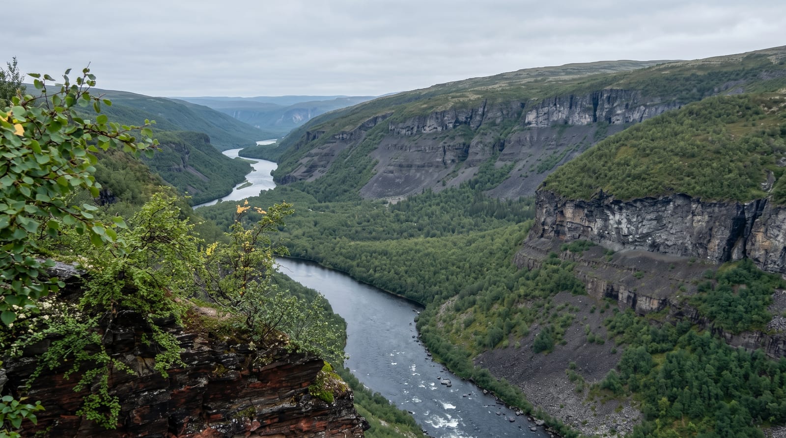
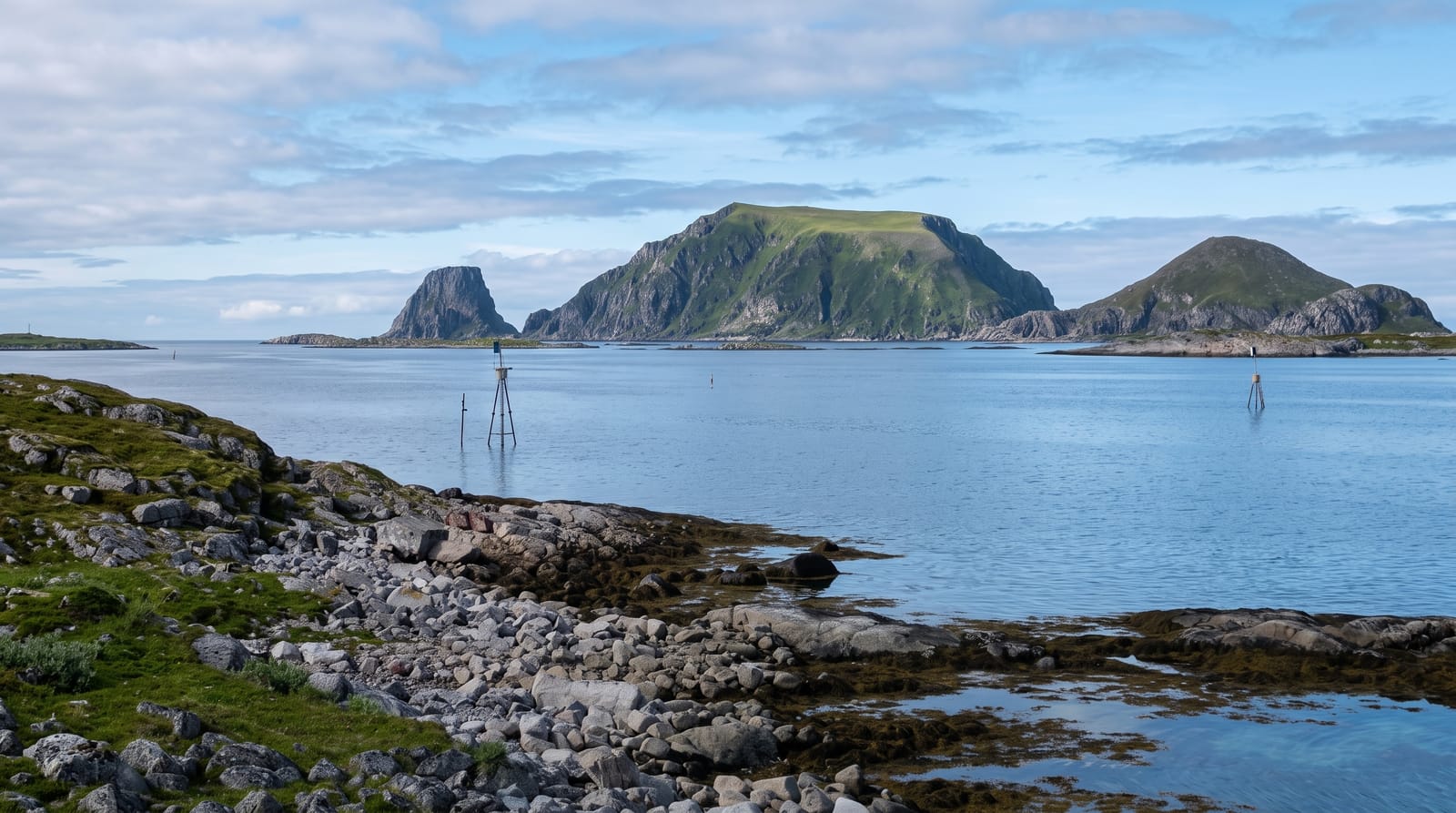
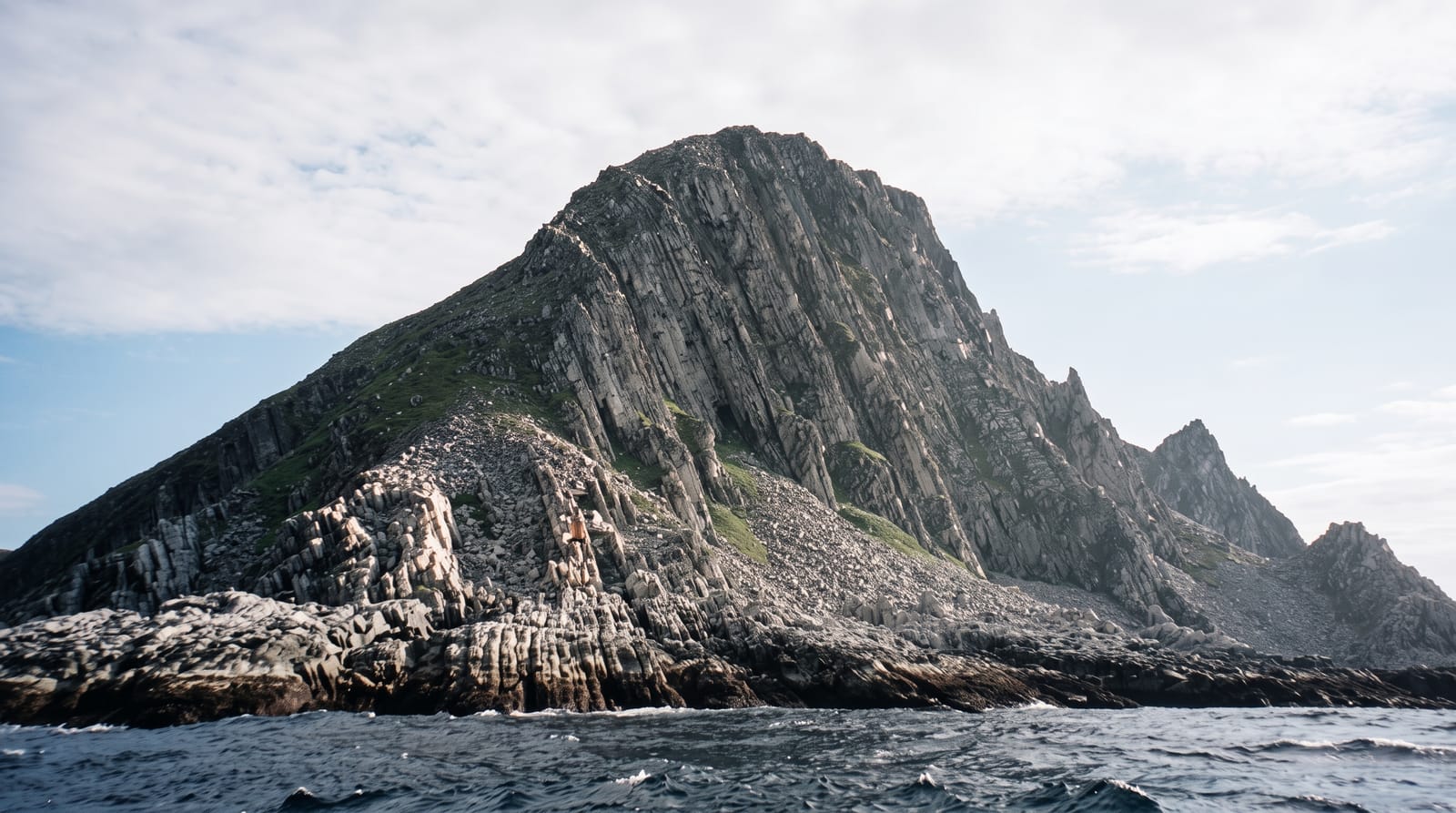
Kinnarodden lies at 71 degrees 8 minutes north on the Nordkyn peninsula, and it is the northernmost point of the European mainland, a distinction often wrongly given to Nordkapp, which sits on the island of Mageroya. Reaching it takes commitment: about twenty-five kilometres each way from Mehamn across open, treeless, largely trackless tundra with bog, rock and river crossings, usually done over two or three days with a tent or by using the unstaffed cabin along the route. There are no facilities, no shelter and no phone coverage for much of it, and the weather can turn to snow in July. At the end stands a cairn on a low headland above the Barents Sea.
What's there
- The mainland's northern tip - the true northernmost point of continental Europe.
- The tundra crossing - twenty-five kilometres of open trackless ground.
- The cairn - a marker on the headland above the Barents Sea.
- The Nordkyn peninsula - one of the emptiest landscapes in Norway.
When to go
July to September, the only realistic window; snow can fall in any month and fog is frequent. The midnight sun in June and July gives continuous light for walking, though the ground is wetter early in summer.
Practical notes
This is a serious expedition requiring navigation, self-sufficiency, proper gear and a plan for bad weather, not a day hike. Rescue is slow and coverage patchy. Many who set out turn back. The destination itself is a cairn and empty ground.
Nearby
Mehamn and Gamvik are on the coast; the Varanger peninsula lies east across the fjord.
Key facts
Source: Wikidata, item Q169998, read on 18 October 2026.
What to pack for Kinnarodden
Chosen from what this place is for. Tap a kit for the full checklist.
- Broken-in walking shoes or boots - Grip and ankle support matter more than looks; never hike in brand-new boots. Find on Amazon
- Spare batteries + cards - Cold and long shoots drain power; never run out at the good light. Find on Amazon
- Warm base layers - Merino or synthetic against the skin - never cotton, which chills when damp. Find on Amazon
- Shelter suited to the place - Tent, tarp or hut booking - match it to the terrain and rules. Find on Amazon
Some links on this page are Amazon affiliate links - if you buy through them we may earn a small commission at no extra cost to you.
All packing kitsPlan your trip
Where to start if Kinnarodden is going on the list.
Booking links on this page are affiliate links - if you book through them we may earn a small commission at no extra cost to you. It never changes what we write about a place.
Opening times, ticket prices and seasonal closures change - check the official source before you go: official site.