Los Frailes Beach
A protected crescent of pale sand inside Machalilla, reached on foot and left undeveloped.
Updated 31 August 2026
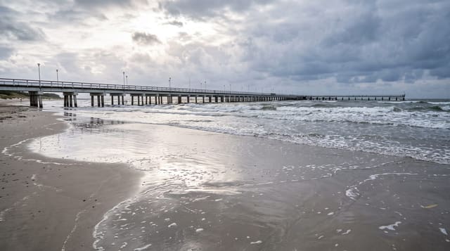
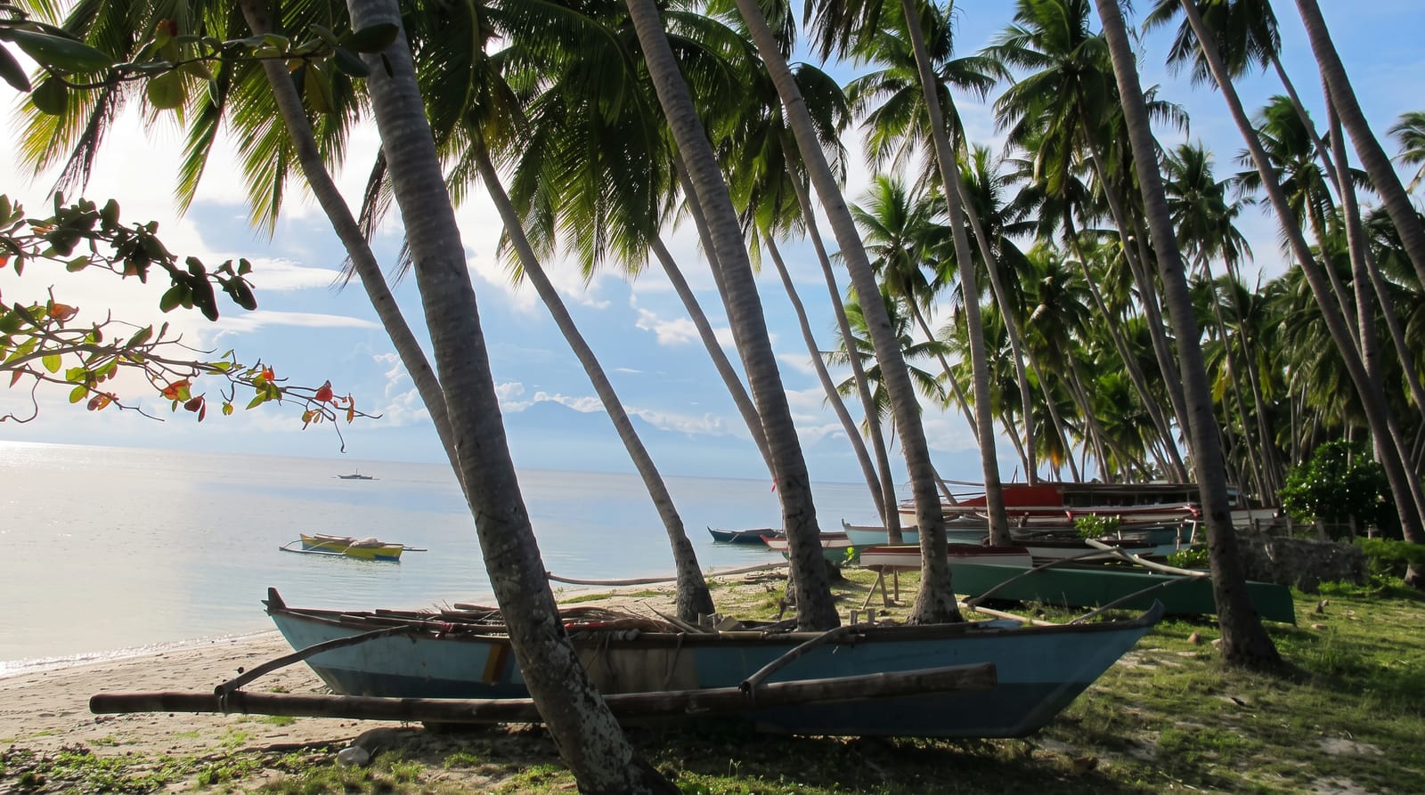
Los Frailes is a bay inside Machalilla national park, a curve of pale sand between rocky headlands, and it is the beach people mean when they say the Ecuadorian coast still has an undeveloped one: no hotels, no bars, no vendors, no buildings at all, because it sits inside the park and none are permitted. A trail loops from the gate over the headland past two smaller coves and a viewpoint before dropping to the main beach, about an hour on foot through dry forest, and there is a shuttle for those who skip the walk. Numbers are capped and the gate closes in the afternoon. Swimming is good, with clear water and a shore break.
Highlights
- A completely undeveloped beach - no buildings inside the park boundary.
- The headland loop trail - dry forest, coves and the viewpoint.
- Clear water and pale sand - the swimming the bay is known for.
- Capped visitor numbers - the limits that keep it quiet.
When to go
June to September, though the coast is often overcast; December to April is sunnier and hotter. Half a day. The gate closes mid-afternoon, so arrive by late morning.
What to expect
There is nothing there by design: no food, no drink, no shade beyond the trees, no facilities beyond basic toilets at the gate. Bring water. The walk is hot. Weekends and holidays fill the daily quota early.
Nearby
Puerto Lopez is south; Agua Blanca lies inland.
What to pack for Los Frailes Beach
Chosen from what this place is for. Tap a kit for the full checklist.
- Broken-in walking shoes or boots - Grip and ankle support matter more than looks; never hike in brand-new boots. Find on Amazon
- Reef-safe sunscreen - High SPF that will not bleach the coral you are swimming over. Find on Amazon
- Layers + a waterproof shell - Mountain weather turns fast; a packable rain jacket saves the day. Find on Amazon
- Quick-dry towel - A microfibre towel packs small and dries in minutes. Find on Amazon
Some links on this page are Amazon affiliate links - if you buy through them we may earn a small commission at no extra cost to you.
All packing kitsPlan your trip
Where to start if Los Frailes Beach is going on the list.
Booking links on this page are affiliate links - if you book through them we may earn a small commission at no extra cost to you. It never changes what we write about a place.
Opening times, ticket prices and seasonal closures change - check the official source before you go: official site.