Cachote
A cloud forest at eleven hundred metres above the southwest coast, dripping with moss and orchids, reached on a track from the beach.
Updated 3 September 2026
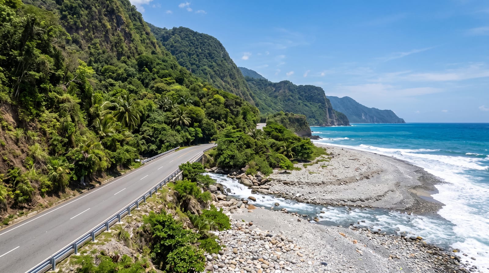
From the coast road at Paraíso a track climbs steeply into the Bahoruco range and, in about an hour of rough driving, arrives at Cachote, a small community sitting in cloud forest at around eleven hundred metres. The transition is abrupt: from cactus and hot pebble beach to a forest where the trees are furred with moss, tree ferns crowd the path, orchids and bromeliads grow on every branch, and cloud sits in the canopy for most of the day. Endemic birds are abundant and the frogs are loud at night. A community-run ecolodge with basic cabins is the only accommodation, and the association also provides guides for the trails.
What's there
- The moss forest - trees furred with moss, tree ferns and bromeliads.
- Endemic birds - Hispaniolan trogon and others along the trails.
- The community lodge - basic cabins run by the village association.
- The climate change - beach to cloud forest in an hour's drive.
When to go
November to April is drier, though this is cloud forest and it rains or drips most days regardless. It is cold at night by Caribbean standards, often below fifteen degrees, so bring warm layers. Birding is best at first light, which means staying overnight.
What to expect
The access track is rough and steep and needs four-wheel drive or a local vehicle. The lodge is genuinely basic, with cold water and limited electricity. It rains constantly and the trails are muddy. Guides speak Spanish only. Anyone wanting comfort should stay on the coast and come up for the day.
Nearby
Paraíso and the coast road are below; Sierra de Bahoruco continues inland.
What to pack for Cachote
Chosen from what this place is for. Tap a kit for the full checklist.
- Broken-in walking shoes or boots - Grip and ankle support matter more than looks; never hike in brand-new boots. Find on Amazon
- Shelter suited to the place - Tent, tarp or hut booking - match it to the terrain and rules. Find on Amazon
- Layers + a waterproof shell - Mountain weather turns fast; a packable rain jacket saves the day. Find on Amazon
- A warm sleeping bag + mat - Rated a little colder than you expect the nights to be. Find on Amazon
Some links on this page are Amazon affiliate links - if you buy through them we may earn a small commission at no extra cost to you.
All packing kitsPlan your trip
Where to start if Cachote is going on the list.
Booking links on this page are affiliate links - if you book through them we may earn a small commission at no extra cost to you. It never changes what we write about a place.
Opening times, ticket prices and seasonal closures change - check the official source before you go: official site.