Tapantí
One of the wettest places in Costa Rica, a cloud forest park where rain falls most days and rivers run off the slope in every direction.
Updated 12 October 2026
AI illustration
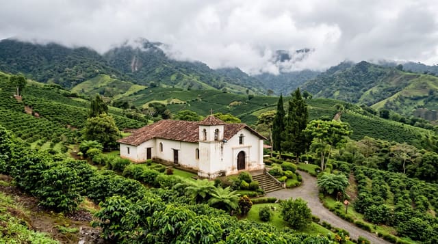
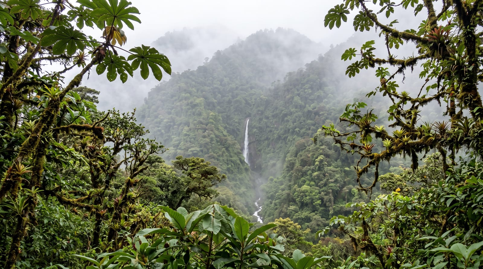
Tapantí sits at the head of the Orosi valley on the Caribbean slope of the Talamancas, and it holds the distinction of being among the wettest places in the country, with rainfall measured in metres per year across much of it. The result is a cloud forest so saturated that the trees are furred with moss and bromeliads and the slopes are cut by dozens of small rivers, which is why the park supplies a large share of the water and hydroelectric power for the central valley. Bird diversity is very high, with about 260 species recorded including the resplendent quetzal, and the trails are short, steep and almost always wet.
What's there
- The cloud forest - moss and bromeliads on every surface.
- The rivers - dozens cutting the slope, feeding the valley below.
- Birdlife - about 260 species including quetzals.
- The waterfall lookout - across the valley from the main trail.
When to go
December to April is relatively drier, which here means it may only rain in the afternoon. Mornings are the only reliable window. Bird activity is best at first light. Waterproofs are not optional in any month.
Before you go
It rains, constantly, and visitors who arrive without proper waterproofs have a miserable time. Trails are short, steep and slippery. The park is often in cloud, so views are a matter of luck. It is much less visited than Monteverde, which is both its appeal and the reason facilities are minimal.
Nearby
Orosi is half an hour down the valley; Cartago is beyond.
What to pack for Tapantí
Chosen from what this place is for. Tap a kit for the full checklist.
- Broken-in walking shoes or boots - Grip and ankle support matter more than looks; never hike in brand-new boots. Find on Amazon
- Binoculars - The single best wildlife tool - even a compact pair transforms a sighting. Find on Amazon
- Layers + a waterproof shell - Mountain weather turns fast; a packable rain jacket saves the day. Find on Amazon
- A zoom camera or long lens - Animals rarely come close; reach beats megapixels. Find on Amazon
Some links on this page are Amazon affiliate links - if you buy through them we may earn a small commission at no extra cost to you.
All packing kitsPlan your trip
Where to start if Tapantí is going on the list.
Booking links on this page are affiliate links - if you book through them we may earn a small commission at no extra cost to you. It never changes what we write about a place.
Opening times, ticket prices and seasonal closures change - check the official source before you go: official site.