Macuira National Park
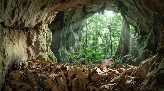
A cloud forest on low mountains in the middle of the Guajira desert, watered by fog that forms nowhere else on the peninsula.
Updated 30 August 2026
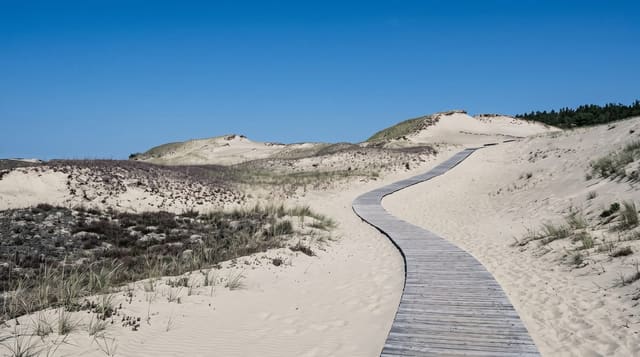
The Macuira range rises to about eight hundred and sixty metres in the far north of the Guajira peninsula, in country that is otherwise desert receiving very little rain - and that modest height is enough to catch moisture from the trade winds, which condenses into a fog the Wayuu call the cachimbo, forming almost daily and sustaining cloud forest on the upper slopes. It is an ecological island: forest surrounded by desert and sea, with species isolated from the Andes by hundreds of kilometres of dry country. The park is within Wayuu territory and access requires permits and community guides; there are no facilities. Getting there means a long four-wheel drive across sand tracks from Uribia, and this is the most remote corner of mainland Colombia.
What you'll find
- Cloud forest surrounded by desert - an ecological island.
- A daily fog off the trade winds - which sustains the forest.
- Mountains of about 860 metres - enough to catch the moisture.
- Wayuu territory - permits and community guides required.
When to go
December to April. Several days.
Good to know
This is remote and hard to reach - four-wheel drive across sand, with a guide, and no facilities. Permits and community permission are required. Water is scarce across the peninsula. Do not attempt it independently.
Nearby
Punta Gallinas is north-west; Uribia is south.
What to pack for Macuira National Park
Chosen from what this place is for. Tap a kit for the full checklist.
- Broken-in walking shoes or boots - Grip and ankle support matter more than looks; never hike in brand-new boots. Find on Amazon
- Binoculars - The single best wildlife tool - even a compact pair transforms a sighting. Find on Amazon
- Loose, light, long clothing - Covering up beats bare skin in the desert - and locals dress this way for a reason. Find on Amazon
- Layers + a waterproof shell - Mountain weather turns fast; a packable rain jacket saves the day. Find on Amazon
Some links on this page are Amazon affiliate links - if you buy through them we may earn a small commission at no extra cost to you.
All packing kitsPlan your trip
Where to start if Macuira National Park is going on the list.
Booking links on this page are affiliate links - if you book through them we may earn a small commission at no extra cost to you. It never changes what we write about a place.
Opening times, ticket prices and seasonal closures change - check the official source before you go: official site.