Cabo de la Vela
A Wayuu fishing settlement in the Guajira desert where red cliffs and cactus meet a windy stretch of Caribbean.
Updated 19 October 2026
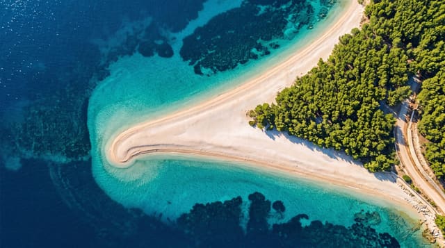
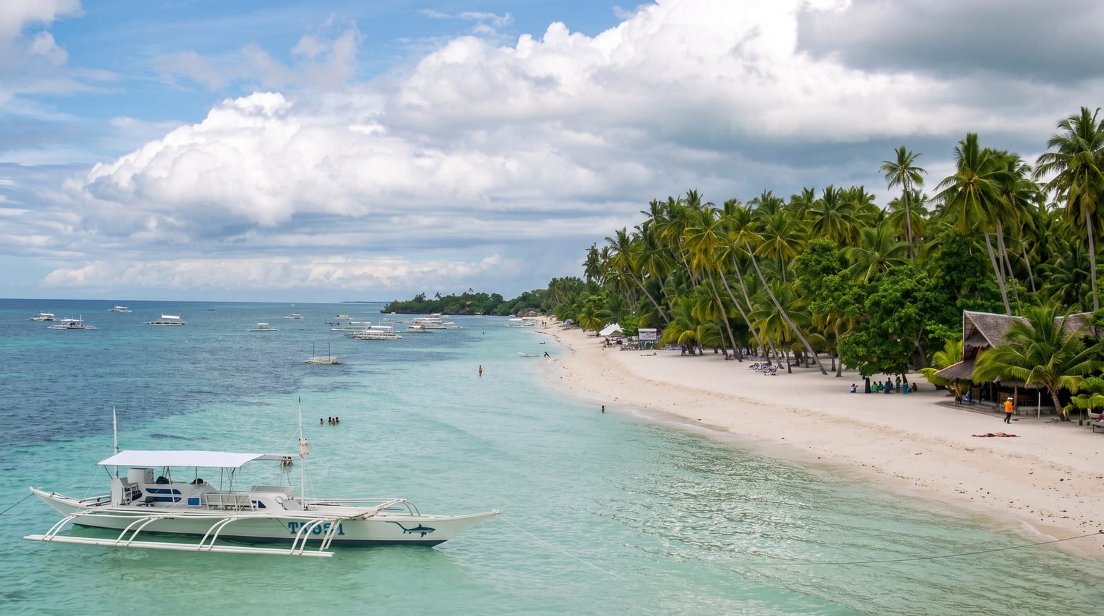
Cabo de la Vela is a single line of Wayuu rancherias strung along a bay on the desert coast of La Guajira, where the Caribbean meets sand, cactus and red rock rather than jungle. Behind the settlement, the Pilon de Azucar hill drops to a small orange beach; further along, the Ojo del Agua cove and the lighthouse point catch the sunset. The trade winds blow hard and steadily for most of the year, which has made the bay a kitesurfing base. There is no mains grid in much of the village, so power comes on for a few hours from generators, and you sleep in a chinchorro hammock under a palm shelter.
History
The Spanish pilot Juan de la Cosa was among the first Europeans to see the cape, in 1499, and its name came from the pale curving headlands, which looked like a sail from the sea. Nikolaus Federmann founded a village here in 1535, the first settlement in La Guajira, which was moved to present-day Riohacha in 1544; the Wayuu, who still live here, call the cape Jepirra and hold it sacred as the place where the souls of the dead go to rest with their ancestors (Wikipedia, Cabo de la Vela).
What you'll find
- Pilon de Azucar - a rock hill above a small orange sand beach.
- The lighthouse point - the cape itself, where the desert ends at the sea.
- Kitesurfing - steady trade winds across a shallow, flat bay.
- Wayuu rancherias - woven chinchorro hammocks, goat and lobster cooked over wood.
When to go
December to April is dry and the wind is strongest, which suits kitesurfers and keeps the heat bearable. The rains around September and October can make the desert tracks impassable and cut the village off for days. Sunset at the lighthouse point is the fixed event of the day. Nights are warm but breezy enough to sleep outside.
Good to know
Facilities are basic and the visitor experience matches: no mains power for much of the day, trucked or brackish water, shared toilets and hammocks rather than rooms. The drive from Uribia crosses open desert with no road markings and cannot be done without a local driver. Water is scarce, so bring your own.
Nearby
Punta Gallinas is a few hours further north; Riohacha and the Manaure salt flats lie south.
Key facts
Source: Wikidata, item Q1024910, read on 18 October 2026.
What to pack for Cabo de la Vela
Chosen from what this place is for. Tap a kit for the full checklist.
- Travel rod + reel - A packable multi-piece rod fits in a case and covers most holiday fishing. Find on Amazon
- Reef-safe sunscreen - High SPF that will not bleach the coral you are swimming over. Find on Amazon
- Quick-dry clothing - Board shorts or synthetics that shrug off spray and dry fast. Find on Amazon
- Loose, light, long clothing - Covering up beats bare skin in the desert - and locals dress this way for a reason. Find on Amazon
Some links on this page are Amazon affiliate links - if you buy through them we may earn a small commission at no extra cost to you.
All packing kitsPlan your trip
Where to start if Cabo de la Vela is going on the list.
Booking links on this page are affiliate links - if you book through them we may earn a small commission at no extra cost to you. It never changes what we write about a place.
Opening times, ticket prices and seasonal closures change - check the official source before you go: official site.