Licancabur
The cone that stands over San Pedro, with one of the world's highest lakes in its crater and Inca ruins beside it.
Updated 21 October 2026
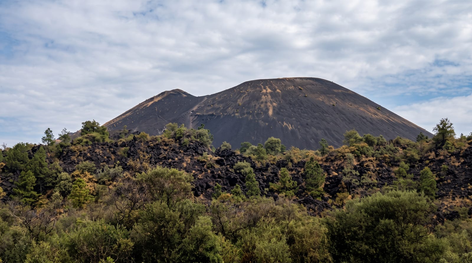
Licancabur is the almost perfect cone that closes the eastern horizon from San Pedro, rising to 5,916 metres on the Chile-Bolivia border, and it is the mountain that appears in essentially every photograph taken from the town. In its summit crater is a lake of about ninety metres across which, at around 5,900 metres, is among the highest lakes in the world and has been studied as an analogue for extreme environments. Inca structures stand at and near the summit, part of the high-altitude sanctuary network across the Andes. The standard ascent route goes from the Bolivian side; the Chilean flank still has old landmines and is not a route.
History
The name comes from the Kunza language, from lican, people or town, and cábur, mountain, and may refer to the ancient sites on the mountain. A ceremonial platform and stone buildings stand in the eastern part of the summit crater, one of them compared to an Inca altar, probably used for equinox and solstice feasts, and at 4,600 metres at the north-eastern foot lies the Tambo de Licancabur, with more than a hundred structures and a square 70 metres long, on the Inca road. The Atacameño and Inca peoples worshipped the mountain, and local legend married it to Quimal, a peak of the Cordillera Domeyko (Wikipedia, Licancabur).
Highlights
- The cone above San Pedro - 5,916 metres on the Bolivian border.
- A crater lake near the summit - among the highest in the world.
- Inca structures at the top - part of the Andean high sanctuary network.
- An ascent from Bolivia - the Chilean flank is not the route.
When to go
Year round to look at it; climbs are arranged in advance from Bolivia. A full day.
Practical notes
This is a 5,900 metre climb requiring acclimatisation, a guide and permits, not a hike. The Chilean side still has old landmines and is not a route. For most visitors it is a mountain to look at.
Nearby
San Pedro de Atacama is west; the Bolivian border and Laguna Verde are east.
Key facts
Source: Wikidata, item Q422713, read on 18 October 2026.
What to pack for Licancabur
Chosen from what this place is for. Tap a kit for the full checklist.
- Broken-in walking shoes or boots - Grip and ankle support matter more than looks; never hike in brand-new boots. Find on Amazon
- Layers for big temperature swings - Warm sun by day, near-freezing at night, even near the equator. Find on Amazon
- Layers + a waterproof shell - Mountain weather turns fast; a packable rain jacket saves the day. Find on Amazon
- Extra-strong sun protection - Thin air means fierce UV; hat, sunglasses and high-SPF sunscreen. Find on Amazon
Some links on this page are Amazon affiliate links - if you buy through them we may earn a small commission at no extra cost to you.
All packing kitsPlan your trip
Where to start if Licancabur is going on the list.
Booking links on this page are affiliate links - if you book through them we may earn a small commission at no extra cost to you. It never changes what we write about a place.
Opening times, ticket prices and seasonal closures change - check the official source before you go: official site.