Pico da Antonia
The highest point on Santiago, a volcanic peak in a protected massif of ridges and terraced valleys.
Updated 16 October 2026
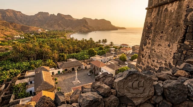
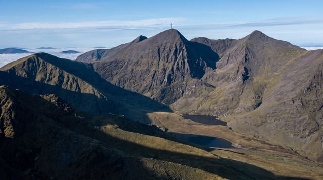
Pico da Antónia reaches around thirteen hundred and ninety metres and is the highest point on Santiago, standing in a protected massif of eroded volcanic ridges with deep valleys running off it towards both coasts. The upper slopes catch cloud and hold the island's remaining native vegetation, while the valleys below are terraced and farmed intensively. Routes climb from Rui Vaz and other villages, mostly unmarked. The massif was declared a natural park along with the surrounding ridges, and it supplies much of the water that reaches Praia, which is why the catchment above the valleys is protected.
Background
The summit reaches 1,394 m and marks the point where three municipalities meet: Ribeira Grande de Santiago, São Lourenço dos Órgãos and São Salvador do Mundo. The towns of Picos and Assomada lie close by. The Pico da Antónia formation is volcanic and took shape 3.3 to 2.3 million years ago, in the Piacenzian and Gelasian periods. North of the summit rises the Ribeira de Pico da Antónia, one of the source rivers of the Ribeira Seca. The mountain lies within the Parque Natural da Serra do Pico de Antónia, and BirdLife International lists the range as an Important Bird Area.
Source: Wikipedia, "Pico de Antónia"
What you'll find
- The summit - the highest ground on Santiago at around 1390 metres.
- The terraced valleys - intensively farmed ravines running to both coasts.
- The native vegetation - the remaining endemic plant communities on the tops.
- The Rui Vaz approach - the village route onto the massif.
When to go
August to November after the rains is when the massif is greenest. The dry season gives clearer views. Cloud sits on the summit most afternoons.
Things to know
Routes are unmarked and a local guide is effectively necessary. The tracks in are rough and need high clearance. Cloud closes the summit views often.
Nearby
Praia is southeast, and Serra Malagueta is north.
Key facts
Source: Wikidata, item Q3136638, read on 18 October 2026.
What to pack for Pico da Antonia
Chosen from what this place is for. Tap a kit for the full checklist.
- Broken-in walking shoes or boots - Grip and ankle support matter more than looks; never hike in brand-new boots. Find on Amazon
- Binoculars - The single best wildlife tool - even a compact pair transforms a sighting. Find on Amazon
- Layers for big temperature swings - Warm sun by day, near-freezing at night, even near the equator. Find on Amazon
- Layers + a waterproof shell - Mountain weather turns fast; a packable rain jacket saves the day. Find on Amazon
Some links on this page are Amazon affiliate links - if you buy through them we may earn a small commission at no extra cost to you.
All packing kitsPlan your trip
Where to start if Pico da Antonia is going on the list.
Booking links on this page are affiliate links - if you book through them we may earn a small commission at no extra cost to you. It never changes what we write about a place.
Opening times, ticket prices and seasonal closures change - check the official source before you go: official site.