Mount Carleton
The highest peak in the Maritimes at about 820 metres, in a park with no cell coverage and a dark sky preserve.
Updated 21 October 2026
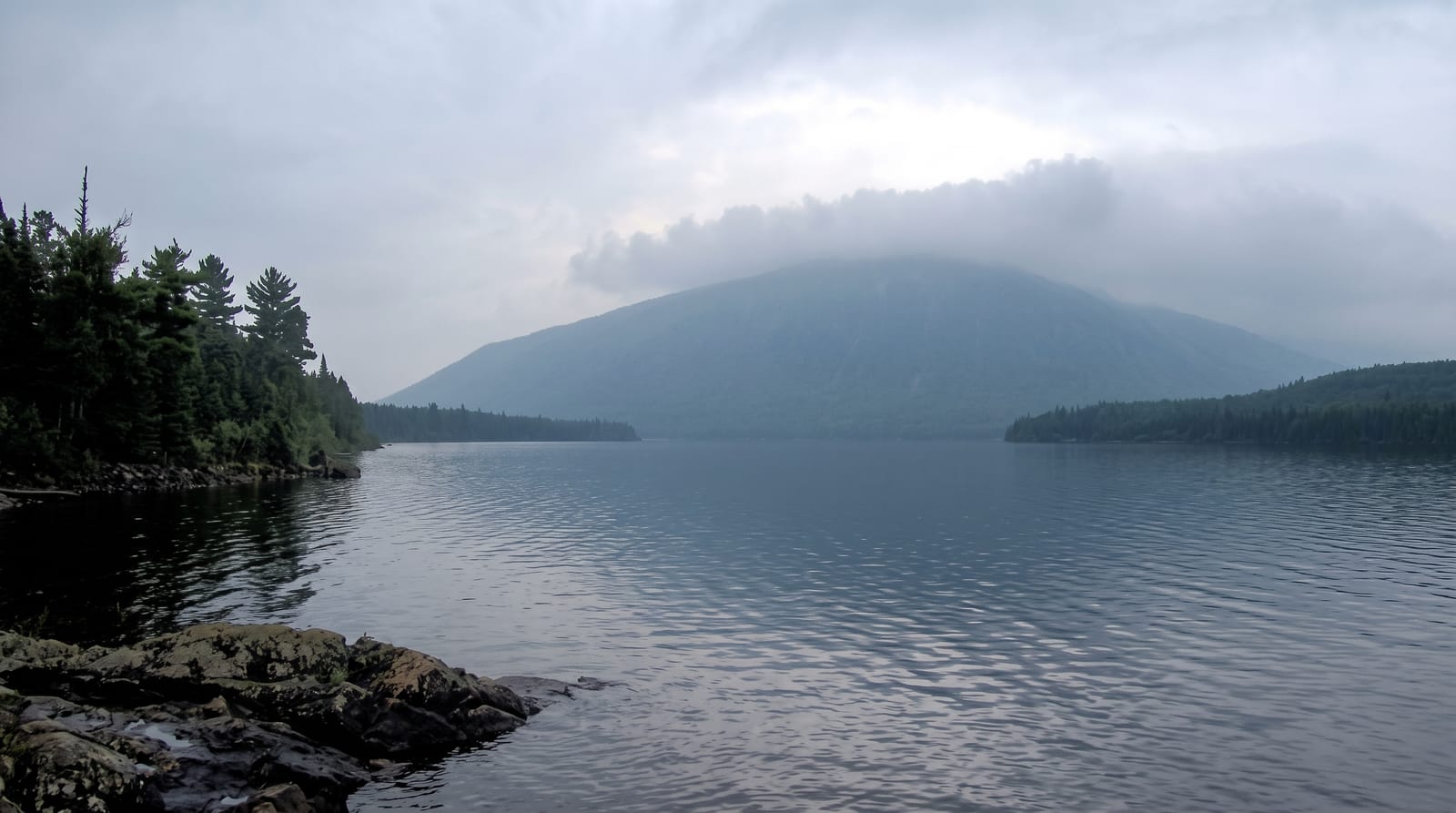
AI illustration
Mount Carleton reaches about eight hundred and twenty metres, the highest point in the Maritime provinces, in a park of about seventeen thousand hectares of Appalachian upland. The summit is bare rock with a fire tower base and views over lakes and forest to the horizon in every direction. The park was designated a Dark Sky Preserve in 2009, and its remoteness means genuinely dark skies. Mi'kmaq and Maliseet used these highlands for travel and hunting.
What you'll find
- The summit - the highest point in the Maritimes with a bare rock top.
- The dark sky preserve - the province's first, with very low light pollution.
- The lake chain - Nictau, Bathurst and others through the park.
- The Appalachian upland - a landscape closer to New England than the coast.
When to go
June to October for hiking; the park has limited winter access. Autumn colour is excellent and the skies clearest on cold moonless nights. Blackflies are severe in June.
What to expect
There is no cell coverage in the park and rescue is slow. The access road is gravel. Facilities are basic and the nearest services are forty kilometres away.
Nearby
Saint-Quentin lies west; the Miramichi headwaters are east.
Key facts
Source: Wikidata, item Q667371, read on 18 October 2026.
What to pack for Mount Carleton
Chosen from what this place is for. Tap a kit for the full checklist.
- Broken-in walking shoes or boots - Grip and ankle support matter more than looks; never hike in brand-new boots. Find on Amazon
- Spare batteries + cards - Cold and long shoots drain power; never run out at the good light. Find on Amazon
- Layers + a waterproof shell - Mountain weather turns fast; a packable rain jacket saves the day. Find on Amazon
- A compact tripod - Essential for night skies, aurora, waterfalls and low light. Find on Amazon
Some links on this page are Amazon affiliate links - if you buy through them we may earn a small commission at no extra cost to you.
All packing kitsPlan your trip
Where to start if Mount Carleton is going on the list.
Booking links on this page are affiliate links - if you book through them we may earn a small commission at no extra cost to you. It never changes what we write about a place.
Opening times, ticket prices and seasonal closures change - check the official source before you go: official site.