Reversing Falls Rapids
A place where the Fundy tide overpowers a river and forces it to run backwards twice a day.
Updated 18 October 2026
AI illustration
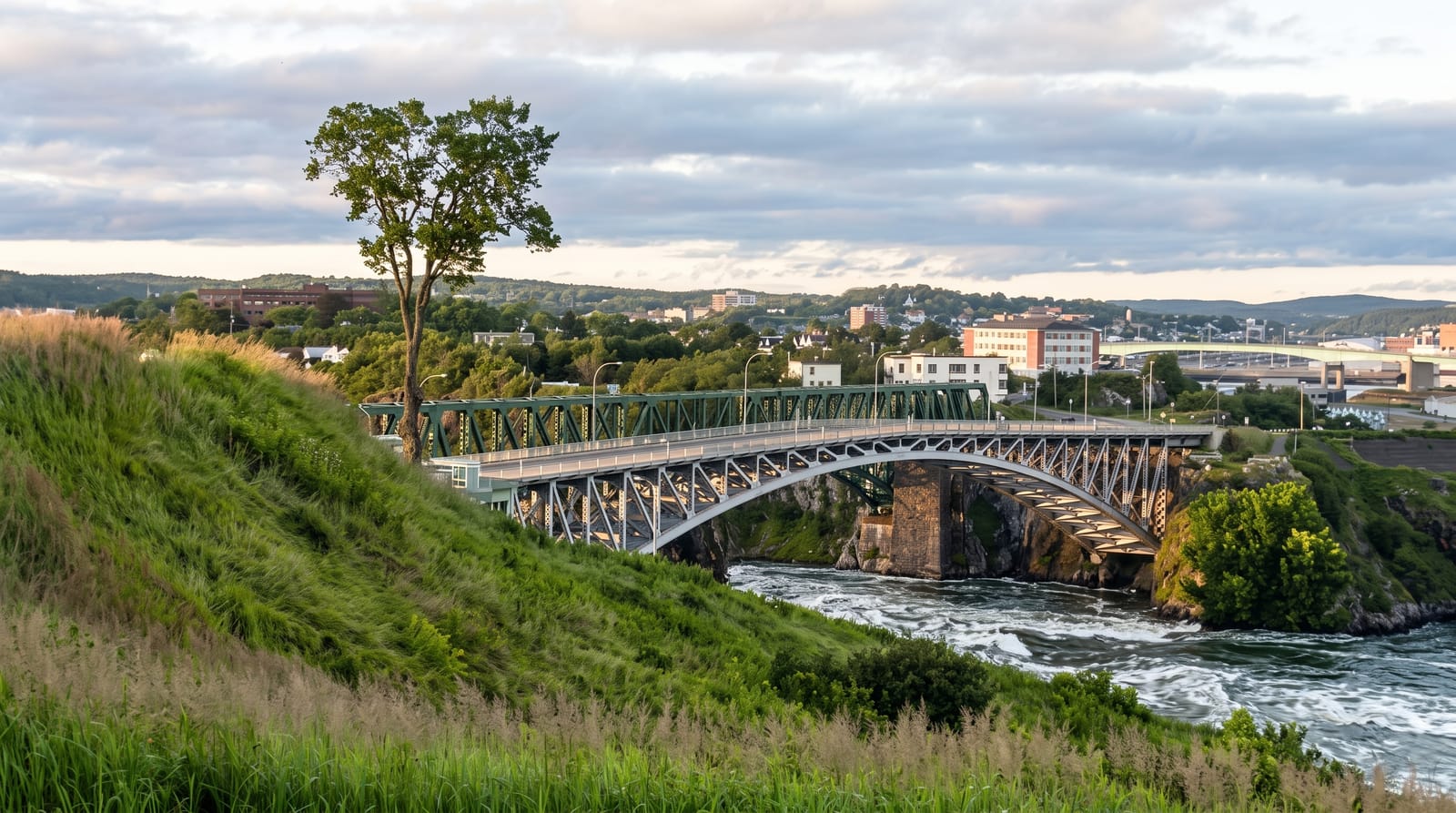
The Saint John River meets the Bay of Fundy through a narrow rock gorge in the middle of the city, and because the Fundy tide rises higher than the river level, the flow reverses: at low tide the river pours out through the gorge in rapids, at high tide the sea pushes back upstream in rapids running the other way, and at slack water in between the surface goes calm enough for ships to pass. The full cycle takes about twelve hours. Timing decides everything, and the tourist office publishes the slack, ebb and flood times. Jet boat tours run through the standing waves.
History
The rapids form where the Saint John River squeezes through a narrow gorge over underwater ledges into the Bay of Fundy, whose tides push the water back upstream at high tide - which is why boats have always had to wait for slack water to pass. The gorge has been an industrial site for more than a century: the Canadian Pacific Railway built the Reversing Falls Railway Bridge across it in 1885, replaced in 1922 by the bridge the New Brunswick Southern Railway still uses (Wikipedia, Reversing Falls).
What you'll find
- The reversal - a river running out and then back in through the same gorge.
- The slack window - a calm period between the two directions.
- The rapids - whitewater in both directions at full ebb and flood.
- The jet boat runs - trips through the standing waves in season.
When to go
May to October for the boat tours; the phenomenon happens year-round. Check the published tide times, since arriving at slack water shows nothing at all.
Practical notes
Arriving at the wrong point in the cycle means seeing calm water. The setting is industrial, with a pulp mill beside the gorge, which surprises visitors. The name misleads: these are rapids, not falls.
Nearby
St. Andrews lies west; the Fundy Trail is east.
Key facts
Source: Wikidata, item Q2967745, read on 18 October 2026.
What to pack for Reversing Falls Rapids
Chosen from what this place is for. Tap a kit for the full checklist.
- Broken-in walking shoes or boots - Grip and ankle support matter more than looks; never hike in brand-new boots. Find on Amazon
- Quick-dry clothing - Board shorts or synthetics that shrug off spray and dry fast. Find on Amazon
- Layers + a waterproof shell - Mountain weather turns fast; a packable rain jacket saves the day. Find on Amazon
- Secure water shoes or reef boots - Grip on slippery launches and protection on rocky shores. Find on Amazon
Some links on this page are Amazon affiliate links - if you buy through them we may earn a small commission at no extra cost to you.
All packing kitsPlan your trip
Where to start if Reversing Falls Rapids is going on the list.
Booking links on this page are affiliate links - if you book through them we may earn a small commission at no extra cost to you. It never changes what we write about a place.
Opening times, ticket prices and seasonal closures change - check the official source before you go: official site.