Manicouagan Crater
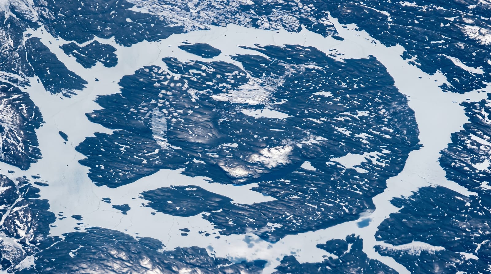
A ring-shaped lake around a central island, made by an impact 214 million years ago and visible from orbit.
Updated 4 September 2026
AI illustration
An asteroid roughly five kilometres across struck here about two hundred and fourteen million years ago, leaving a crater around one hundred kilometres wide; erosion and later flooding for hydroelectricity turned it into an annular lake with René-Levasseur Island at the centre, the second largest lake island in the world. The ring is so distinct that astronauts photograph it routinely and it is called the eye of Quebec. Mount Babel on the island is the rebound peak from the impact. Route 389 runs north past the Daniel-Johnson dam, the largest multiple-arch and buttress dam in the world, and continues to Labrador.
Highlights
- The ring lake - a circular reservoir around a central island.
- René-Levasseur Island - the second largest lake island on earth.
- The Daniel-Johnson dam - the world's largest multiple-arch buttress dam.
- Mount Babel - the central rebound peak of the impact structure.
When to go
June to September; Route 389 has long gravel sections and winter driving is serious with no services for hundreds of kilometres. The ring shape is only fully visible from the air or a map.
Practical notes
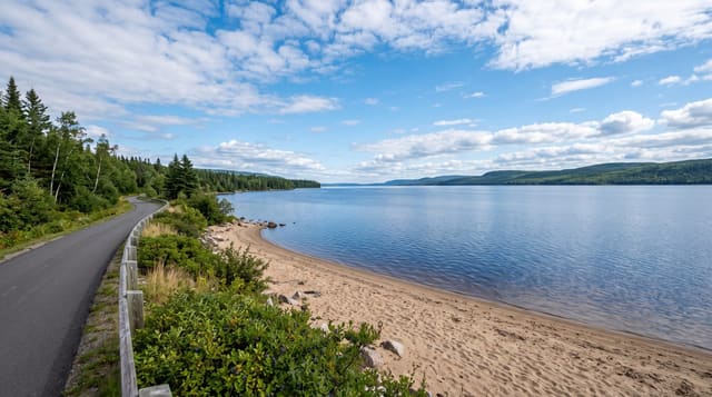
From the ground the crater looks like an ordinary lake; the shape needs an aerial view. Route 389 is rough, remote and hard on vehicles, with fuel stops far apart. Services are minimal.
Nearby
Baie-Comeau lies south; Labrador is north on the same road.
Key facts
Source: Wikidata, item Q756106, read on 18 October 2026.
What to pack for Manicouagan Crater
Chosen from what this place is for. Tap a kit for the full checklist.
- Broken-in walking shoes or boots - Grip and ankle support matter more than looks; never hike in brand-new boots. Find on Amazon
- Layers + a waterproof shell - Mountain weather turns fast; a packable rain jacket saves the day. Find on Amazon
- Daypack with rain cover - 20-30 litres holds water, snacks, layers and a first-aid kit. Find on Amazon
- Offline maps + a power bank - Download the trail before you lose signal; carry backup charge. Find on Amazon
Some links on this page are Amazon affiliate links - if you buy through them we may earn a small commission at no extra cost to you.
All packing kitsPlan your trip
Where to start if Manicouagan Crater is going on the list.
Booking links on this page are affiliate links - if you book through them we may earn a small commission at no extra cost to you. It never changes what we write about a place.
Opening times, ticket prices and seasonal closures change - check the official source before you go: official site.