Lake Memphremagog
A long narrow lake crossing into Vermont, with a monastery on one shore and a lake monster in the folklore.
Updated 19 October 2026
AI illustration
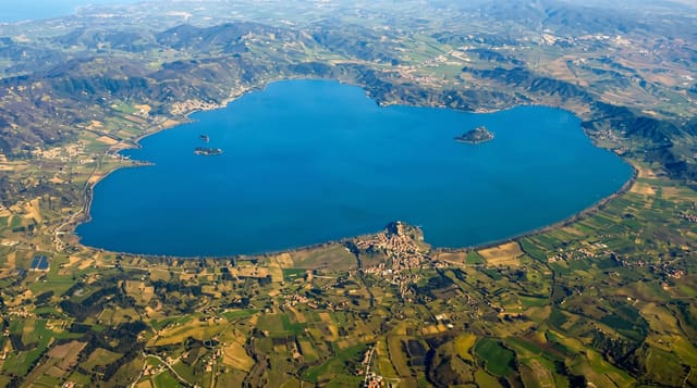
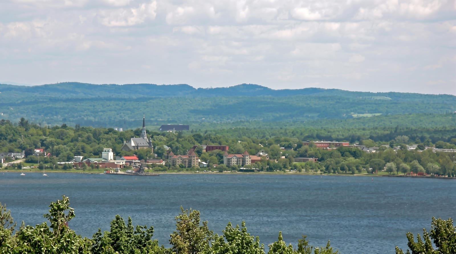
Memphremagog runs about forty-five kilometres north to south with roughly a quarter of it in Vermont, hemmed by hills that give it a fjord-like proportion. Saint-Benoît-du-Lac abbey stands on the western shore. Reports of a creature in the lake, called Memphré, go back to the eighteenth century and are taken about as seriously as similar claims elsewhere, which is to say not much, but the name is used locally. Magog is the main town at the northern end, with cruises running in summer, and the lake is used for sailing, paddling and a long-distance swim. The border runs across the water with customs reporting required.
History
The lake lies in the land of the Abenaki, and its name comes from an Algonquian word for a big expanse of water. The first accurate map of it, made in 1776, drew settlers' interest, and steamers carried passengers and freight between Newport and Magog from 1850, when the Mountain Maid was launched, through the Lady of the Lake of 1867, which made the run in 3 hours, to the Anthemis, built in 1909 for 300 people and working until 1953; the Memphré creature has been reported since the 18th century (Wikipedia, Lake Memphremagog).
What's there
- The long narrow lake - forty-five kilometres running into Vermont.
- The abbey shore - Saint-Benoît-du-Lac standing above the western side.
- The Memphré folklore - a lake creature tradition going back to the eighteenth century.
- The Magog waterfront - cruises, marina and the town at the north end.
When to go
June to September for boating and swimming; the Eastern Townships are at their best in late September and early October for colour. Winter brings ice fishing.
What to expect
Crossing the border by boat requires reporting to customs on either side. The lake gets rough in wind down its length. Shore access is largely private with limited public points.
Nearby
Saint-Benoît-du-Lac lies on the shore; North Hatley is east.
Key facts
Source: Wikidata, item Q595625, read on 18 October 2026.
What to pack for Lake Memphremagog
Chosen from what this place is for. Tap a kit for the full checklist.
- Travel rod + reel - A packable multi-piece rod fits in a case and covers most holiday fishing. Find on Amazon
- Reef-safe sunscreen - High SPF that will not bleach the coral you are swimming over. Find on Amazon
- Modest clothing - Shoulders and knees covered - the single most common requirement. Find on Amazon
- A small tackle selection - Hooks, weights, line and a few lures or flies suited to local waters. Find on Amazon
Some links on this page are Amazon affiliate links - if you buy through them we may earn a small commission at no extra cost to you.
All packing kitsPlan your trip
Where to start if Lake Memphremagog is going on the list.
Booking links on this page are affiliate links - if you book through them we may earn a small commission at no extra cost to you. It never changes what we write about a place.
Opening times, ticket prices and seasonal closures change - check the official source before you go: official site.