Mont-Orford National Park
A mountain and three lakes in the Eastern Townships, with an old-growth maple stand on the upper slopes.
Updated 21 October 2026

AI illustration
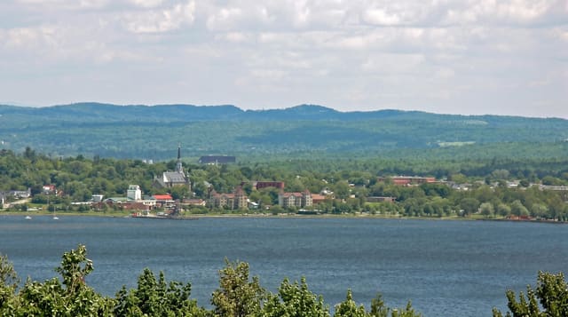
Mont Orford rises to eight hundred and fifty-three metres in a park of about a hundred square kilometres holding three main lakes, Stukely, Fraser and Montjoie, and a set of summits linked by trails. The upper slopes carry stands of old-growth sugar maple, unusual in a region logged and sugared for two centuries. A gondola runs to the summit in the colour season and in winter for skiing.
Highlights
- The old-growth maples - unlogged sugar maple on the upper slopes.
- The three lakes - swimming, paddling and beaches in the park.
- The summit gondola - a lift running in autumn colour season and winter.
- The colour panorama - the Eastern Townships from the top in October.
When to go
June to October, with autumn colour in late September and early October the peak; the gondola runs then and in ski season. Summer is for the lakes and trails.
Before you go
The gondola runs only in certain seasons and weather. Autumn weekends bring heavy crowds. Beaches fill in July and August and the park caps day use.
Nearby
Magog lies south; North Hatley is southeast.
Key facts
Source: Wikidata, item Q1147629, read on 18 October 2026.
What to pack for Mont-Orford National Park
Chosen from what this place is for. Tap a kit for the full checklist.
- Broken-in walking shoes or boots - Grip and ankle support matter more than looks; never hike in brand-new boots. Find on Amazon
- Reef-safe sunscreen - High SPF that will not bleach the coral you are swimming over. Find on Amazon
- Layers + a waterproof shell - Mountain weather turns fast; a packable rain jacket saves the day. Find on Amazon
- Quick-dry towel - A microfibre towel packs small and dries in minutes. Find on Amazon
Some links on this page are Amazon affiliate links - if you buy through them we may earn a small commission at no extra cost to you.
All packing kitsPlan your trip
Where to start if Mont-Orford National Park is going on the list.
Booking links on this page are affiliate links - if you book through them we may earn a small commission at no extra cost to you. It never changes what we write about a place.
Opening times, ticket prices and seasonal closures change - check the official source before you go: official site.