La Mauricie National Park
A park of a hundred and fifty lakes in logged-over Laurentian forest, with a road built for the views.
Updated 16 October 2026

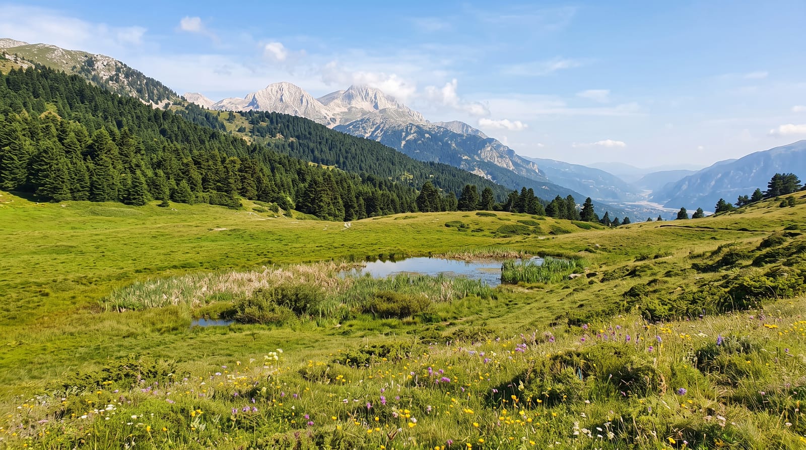
AI illustration
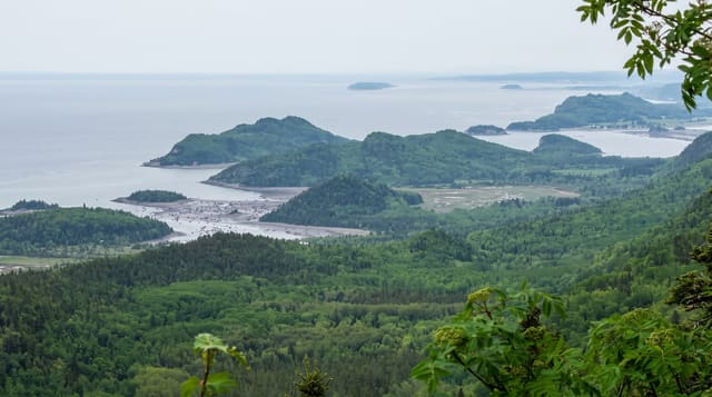
La Mauricie covers about five hundred and thirty-six square kilometres of the Laurentian plateau with around one hundred and fifty lakes, created in 1970 on land that had been logged since the nineteenth century and used by private fishing clubs. The parkway runs about sixty-three kilometres through it with viewpoints, the best known at Le Passage over Lac Wapizagonke. Canoe routes link the lakes with portages, and camping is both roadside and backcountry. Traces of the log drives remain along the rivers. Autumn colour on the maple slopes is the busiest season, drawing traffic from both Montreal and Quebec City.
Background
The park takes its name from the Saint-Maurice River to the east, while the Matawin River follows its western and northern borders. It was established on 22 August 1970 and reaches into three municipalities: Saint-Roch-de-Mékinac, Saint-Mathieu-du-Parc and Shawinigan. The ground belongs to the Grenville Province of the Canadian Shield, a plateau of older metamorphic rocks (955 mya) that rises from 150 metres near the Saint-Maurice to near 500 metres inland. Forest covers 93% of the park, with 30 species of trees, and moose, black bears, beavers, otters and a small number of wood turtles live here. The earliest human remains date from the Archaic period, between 7000 and 3000 BC.
Source: Wikipedia, "La Mauricie National Park"
Highlights
- The parkway viewpoints - Le Passage and other lookouts over the lakes.
- The canoe routes - linked lakes and portages through the interior.
- The log drive traces - remains of the timber industry along the rivers.
- The autumn maples - colour peaking late September into October.
When to go
June to October; the parkway closes in winter with skiing and snowshoeing from the entrances. Autumn colour weekends are extremely busy. Blackflies are heavy in June.
Things to know
Autumn weekends can mean queues at the gate and full car parks. The parkway is closed for winter. Backcountry sites need reservations.
Nearby
Shawinigan lies south; Trois-Rivières is southeast.
Key facts
Source: Wikidata, item Q1798539, read on 18 October 2026.
What to pack for La Mauricie National Park
Chosen from what this place is for. Tap a kit for the full checklist.
- Broken-in walking shoes or boots - Grip and ankle support matter more than looks; never hike in brand-new boots. Find on Amazon
- Travel rod + reel - A packable multi-piece rod fits in a case and covers most holiday fishing. Find on Amazon
- Quick-dry clothing - Board shorts or synthetics that shrug off spray and dry fast. Find on Amazon
- Binoculars - The single best wildlife tool - even a compact pair transforms a sighting. Find on Amazon
Some links on this page are Amazon affiliate links - if you buy through them we may earn a small commission at no extra cost to you.
All packing kitsPlan your trip
Where to start if La Mauricie National Park is going on the list.
Booking links on this page are affiliate links - if you book through them we may earn a small commission at no extra cost to you. It never changes what we write about a place.
Opening times, ticket prices and seasonal closures change - check the official source before you go: official site.