Mount Oiti National Park
A mountain of fir forest and high meadows above the Sperchios valley, famous for wildflowers and the Livadies plateau.
Updated 12 October 2026
AI illustration
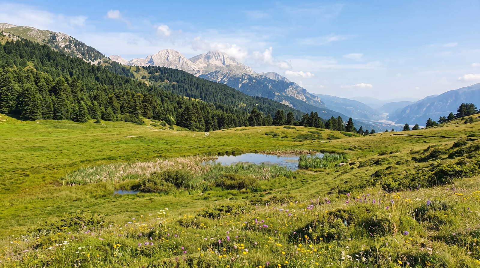
Oiti rises to 2,152 metres at Pyrgos and was declared a national park in 1966, protecting one of the richest floras in Greece: over a thousand plant species grow here, including local endemics such as Veronica oetaea, which survives only in seasonal pools on the Livadies plateau. That plateau, a wide grassy basin at around 1,800 metres surrounded by fir, is the mountain's signature landscape and fills with flowers in June. Trails climb from the spa village of Ypati and from Pavliani through dense Greek fir, passing the Trapeza refuge and waterfalls in the gorges below. The mountain is a National Park with EU protection status, and shepherds still bring flocks to the high meadows in summer.
Highlights
- The Livadies plateau - high grassland at 1,800 metres ringed by fir.
- The flora - over a thousand species, including plants found nowhere else.
- The fir forest - dense Greek fir on the slopes below the treeline.
- Pyrgos summit - the 2,152-metre high point and its long views.
When to go
June and early July for the flowering plateau, the reason botanists come; September and October for stable hiking weather. Snow lies into May and returns by November.
What to expect
Trails are marked unevenly and the plateau can be confusing in mist. There is no visitor centre; the refuge opens irregularly. Access roads to the trailheads are rough in places, and there is no water on the high ground.
Nearby
Ypati's thermal spa lies at the foot of the mountain; Lamia and the Sperchios valley are north.
Key facts
Source: Wikidata, item Q26001162, read on 18 October 2026.
What to pack for Mount Oiti National Park
Chosen from what this place is for. Tap a kit for the full checklist.
- Broken-in walking shoes or boots - Grip and ankle support matter more than looks; never hike in brand-new boots. Find on Amazon
- Binoculars - The single best wildlife tool - even a compact pair transforms a sighting. Find on Amazon
- Warm base layers - Merino or synthetic against the skin - never cotton, which chills when damp. Find on Amazon
- Layers + a waterproof shell - Mountain weather turns fast; a packable rain jacket saves the day. Find on Amazon
Some links on this page are Amazon affiliate links - if you buy through them we may earn a small commission at no extra cost to you.
All packing kitsPlan your trip
Where to start if Mount Oiti National Park is going on the list.
Booking links on this page are affiliate links - if you book through them we may earn a small commission at no extra cost to you. It never changes what we write about a place.
Opening times, ticket prices and seasonal closures change - check the official source before you go: official site.