Cheltenham Badlands
Red shale hills striped with green bands, exposed not by nature but by farming that stripped the soil.
Updated 19 October 2026

AI illustration
The Queenston shale here is red from iron oxide, and the green-grey bands running through it are where groundwater changed the iron to a different state. What makes the site unusual is the cause: this is not natural badlands but the result of farming, mostly cattle grazing, in the late nineteenth and early twentieth centuries that stripped the topsoil and let erosion cut the rippled gullies now visible. It became one of the most photographed spots in southern Ontario, and the trampling was destroying it, so the Ontario Heritage Trust closed it in 2015 and reopened it in 2018 with a boardwalk and viewing platform only, plus timed parking reservations.
History
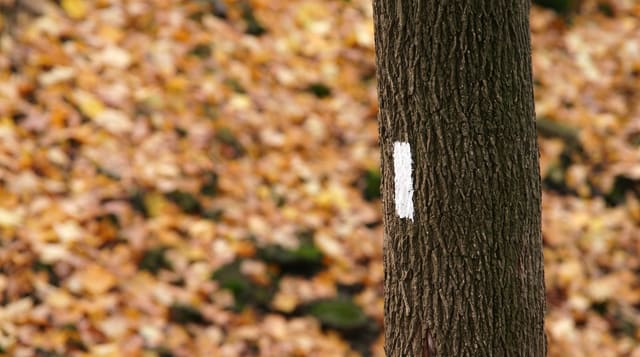
In the late 1800s and early 1900s this land was farmed, mostly for cattle grazing, and the clearing and grazing left the soft shale open to erosion; farming stopped in 1931 and most of the property began to recover, but the bare slopes kept wearing away. A section of the Bruce Trail has crossed the site since 1989, and after so many visitors walked on the formations that the damage accelerated, the Ontario Heritage Trust fenced it off in July 2015 and reopened it on 22 September 2018 (Wikipedia, Cheltenham Badlands).
What's there
- The red shale - iron-stained rock cut into rippled gullies.
- The green bands - stripes where groundwater altered the iron.
- The boardwalk - a raised platform replacing the destroyed direct access.
- The erosion story - badlands left by early farming, not by nature.
When to go
April to October; parking is by timed reservation in season and sells out on weekends. Low sun deepens the red. The site closes in winter.
Good to know
Walking on the shale is now prohibited and enforced; the visit is from a boardwalk. Parking reservations are required and limited. The site is small and takes half an hour.
Nearby
The Bruce Trail passes close; Toronto lies southeast.
Key facts
Source: Wikidata, item Q5090185, read on 18 October 2026.
What to pack for Cheltenham Badlands
Chosen from what this place is for. Tap a kit for the full checklist.
- Broken-in walking shoes or boots - Grip and ankle support matter more than looks; never hike in brand-new boots. Find on Amazon
- Layers + a waterproof shell - Mountain weather turns fast; a packable rain jacket saves the day. Find on Amazon
- Daypack with rain cover - 20-30 litres holds water, snacks, layers and a first-aid kit. Find on Amazon
- Offline maps + a power bank - Download the trail before you lose signal; carry backup charge. Find on Amazon
Some links on this page are Amazon affiliate links - if you buy through them we may earn a small commission at no extra cost to you.
All packing kitsPlan your trip
Where to start if Cheltenham Badlands is going on the list.
Booking links on this page are affiliate links - if you book through them we may earn a small commission at no extra cost to you. It never changes what we write about a place.
Opening times, ticket prices and seasonal closures change - check the official source before you go: official site.