Bruce Trail
Canada's oldest and longest marked footpath, running about nine hundred kilometres along a UNESCO escarpment.
Updated 19 October 2026
AI illustration
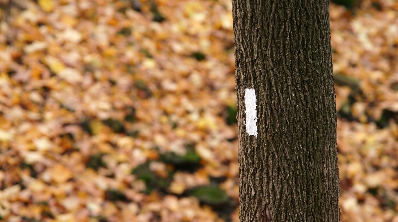
The Bruce Trail opened in 1967 and runs about nine hundred kilometres of main trail from Queenston on the Niagara River to Tobermory at the tip of the Bruce Peninsula, plus around four hundred kilometres of side trails, following the Niagara Escarpment, a UNESCO World Biosphere Reserve. It is the oldest and longest marked footpath in Canada. White blazes mark the main route and blue the side trails. Much of it crosses private land under handshake agreements with landowners, which is why staying on the marked path matters; the Conservancy has been buying land to secure a permanent route. Ancient cedars over a thousand years old grow on the cliff faces.
History
The idea came in 1959 from a meeting between Ray Lowes and Robert Bateman of the Federation of Ontario Naturalists, Lowes imagining a public footpath along the whole Niagara Escarpment, and the Bruce Trail Committee first met on 23 September 1960. Philip Gosling and volunteers won over towns and landowners along the route, regional clubs were in place by 1963, the Bruce Trail Association was incorporated on 13 March 1963, and the cairn at the northern end at Tobermory was unveiled in 1967 for Canada's centennial (Wikipedia, Bruce Trail).
What to look for
- The escarpment cliffs - a limestone ridge running the length of the route.
- The white blazes - the marking system for the main trail.
- The ancient cedars - thousand-year-old trees clinging to cliff faces.
- The northern section - the Bruce Peninsula, the most spectacular stretch.
When to go
May to October for the full route; the northern sections are icy and hazardous in winter. Autumn colour along the escarpment is the best season. Spring is muddy.
Before you go
Much of the trail crosses private land by permission and access can be withdrawn; leaving the blazes risks that. The northern sections are far rougher than the southern. Water sources are unreliable.
Nearby
Cheltenham Badlands and Webster Falls are on the route; Tobermory is the northern end.
Key facts
Source: Wikidata, item Q991831, read on 18 October 2026.
What to pack for Bruce Trail
Chosen from what this place is for. Tap a kit for the full checklist.
- Broken-in walking shoes or boots - Grip and ankle support matter more than looks; never hike in brand-new boots. Find on Amazon
- Comfortable walking shoes - Sightseeing means kilometres of pavement and cobbles daily. Find on Amazon
- Layers + a waterproof shell - Mountain weather turns fast; a packable rain jacket saves the day. Find on Amazon
- A slim anti-theft daypack - Zips that close properly; keep it in front in crowds and on transit. Find on Amazon
Some links on this page are Amazon affiliate links - if you buy through them we may earn a small commission at no extra cost to you.
All packing kitsPlan your trip
Where to start if Bruce Trail is going on the list.
Booking links on this page are affiliate links - if you book through them we may earn a small commission at no extra cost to you. It never changes what we write about a place.
Opening times, ticket prices and seasonal closures change - check the official source before you go: official site.