Bardenas Reales
Forty-two thousand hectares of eroded clay badlands in southern Navarra, with a spire that has become the region's emblem.
Updated 21 October 2026
AI illustration
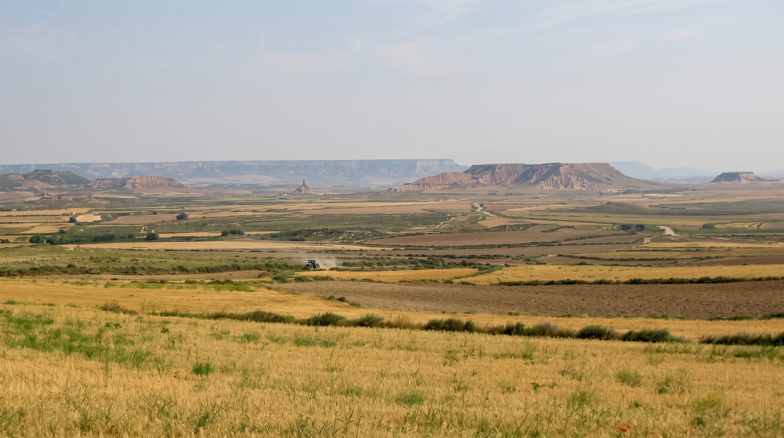
The Bardenas cover about 42,000 hectares of the Ebro basin where soft clays, gypsum and sandstone laid down in an ancient lake have been eroded by infrequent but violent rain into a landscape of gullies, flat-topped mesas and isolated spires, with almost no vegetation across much of it. Castildetierra, a cone of clay capped by a harder sandstone layer standing about twenty metres, is the most photographed formation. It has been a biosphere reserve since 2000, and it is not empty: sheep have grazed it under ancient rights for centuries, and a large military bombing range occupies a section that is fenced and closed. The area runs about 45 kilometres north to south and 24 east to west, between 280 and 659 metres. Unsurfaced tracks cross the accessible part and are used by cars, cyclists and walkers.
What's there
- Castildetierra - a capped clay spire that has become the emblem.
- The gully badlands - eroded clay and gypsum with almost no plant cover.
- The flat-topped mesas - harder caprock preserving plateau remnants.
- The grazing flocks - sheep worked under long-standing rights.
When to go
March to May and September to November; summer temperatures exceed forty degrees with no shade anywhere, and winter brings fog and mud. Tracks close after heavy rain, when the clay becomes impassable.
What to expect
The tracks are unsurfaced and turn to unusable mud after rain, with closures announced by the park. There is no shade, water or shelter. The military zone is genuinely closed and marked, and straying into it is dangerous.
Nearby
Tudela and the Ebro lie south; the Arguedas cave houses are at the park's edge.
Key facts
Source: Wikidata, item Q521527, read on 18 October 2026.
What to pack for Bardenas Reales
Chosen from what this place is for. Tap a kit for the full checklist.
- Broken-in walking shoes or boots - Grip and ankle support matter more than looks; never hike in brand-new boots. Find on Amazon
- Padded shorts - The one thing that makes a full day in the saddle bearable. Find on Amazon
- Head torch + spare batteries - Hands-free light is essential; caves are truly dark. Find on Amazon
- Layers + a waterproof shell - Mountain weather turns fast; a packable rain jacket saves the day. Find on Amazon
Some links on this page are Amazon affiliate links - if you buy through them we may earn a small commission at no extra cost to you.
All packing kitsPlan your trip
Where to start if Bardenas Reales is going on the list.
Booking links on this page are affiliate links - if you book through them we may earn a small commission at no extra cost to you. It never changes what we write about a place.
Opening times, ticket prices and seasonal closures change - check the official source before you go: official site.