Horseshoe Canyon
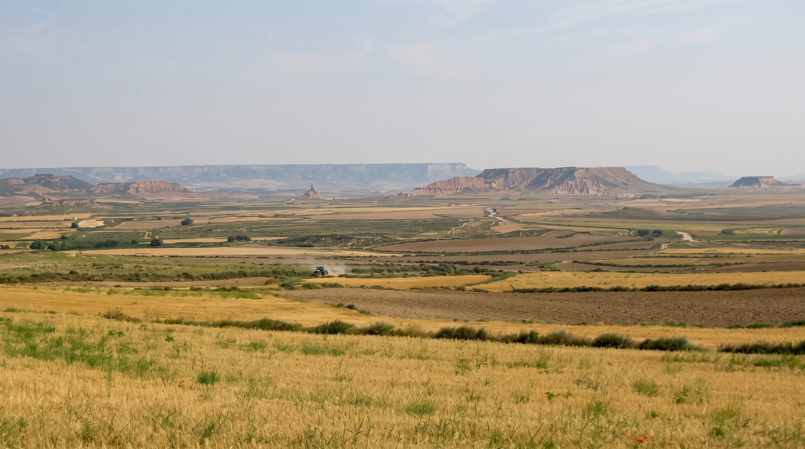
Prairie that ends without warning at a canyon rim, opening into striped badlands below the wheat.
Updated 21 October 2026

AI illustration
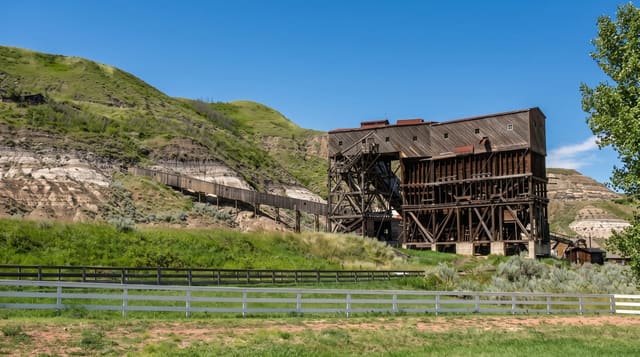
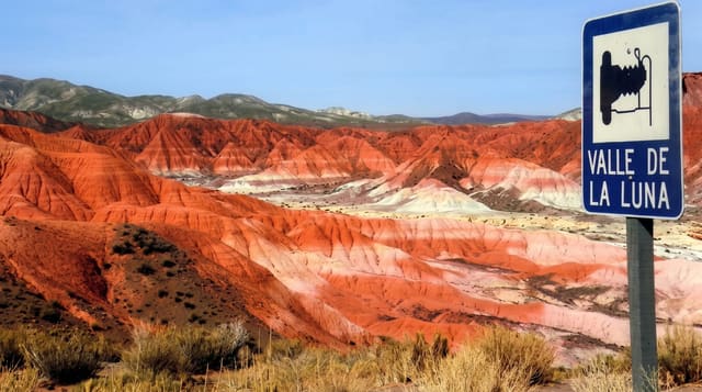
The approach is the point: Highway 9 crosses flat farmland with nothing to suggest a change, and then the ground simply opens into a horseshoe-shaped canyon whose two arms run some five kilometres each, banded in grey, ochre and rust. The layers are Cretaceous, laid down when this was coastal swamp, and they hold coal seams, petrified wood and fossils; the rock is the Horseshoe Canyon Formation, named here. Trails descend from the rim into the canyon floor, steep and loose at the top. The badlands exist because glacial meltwater cut through the prairie soil and the soft rock has eroded since.
What's there
- The sudden rim - flat farmland ending abruptly at a canyon edge.
- The banded layers - Cretaceous rock in grey, ochre and rust with coal seams.
- The floor trails - steep descents into the canyon bottom.
- The petrified wood - fossil wood visible in the exposed layers.
When to go
May to October; low sun in early morning and evening brings out the banding. Summer heat on the floor is severe with no shade. Rain turns the clay to a slick paste.
Practical notes
The descent is steep and loose, and the clay becomes dangerously slippery when wet. There is no shade or water below the rim. Removing fossils or petrified wood is illegal in Alberta.
Nearby
Drumheller lies northeast; the hoodoos are beyond it.
Key facts
Source: Wikidata, item Q5906004, read on 18 October 2026.
What to pack for Horseshoe Canyon
Chosen from what this place is for. Tap a kit for the full checklist.
- Broken-in walking shoes or boots - Grip and ankle support matter more than looks; never hike in brand-new boots. Find on Amazon
- Layers + a waterproof shell - Mountain weather turns fast; a packable rain jacket saves the day. Find on Amazon
- Daypack with rain cover - 20-30 litres holds water, snacks, layers and a first-aid kit. Find on Amazon
- Offline maps + a power bank - Download the trail before you lose signal; carry backup charge. Find on Amazon
Some links on this page are Amazon affiliate links - if you buy through them we may earn a small commission at no extra cost to you.
All packing kitsPlan your trip
Where to start if Horseshoe Canyon is going on the list.
Booking links on this page are affiliate links - if you book through them we may earn a small commission at no extra cost to you. It never changes what we write about a place.
Opening times, ticket prices and seasonal closures change - check the official source before you go: official site.