Alantika Mountains
A remote range on the Nigerian border, home to communities living high in the rocks.
Updated 21 October 2026
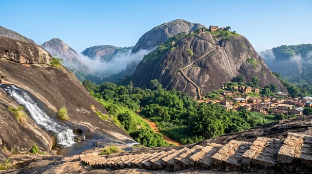
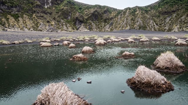
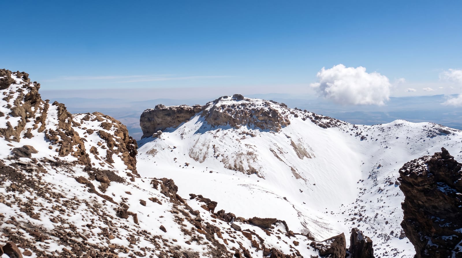
The Alantika mountains rise on the border with Nigeria west of Poli, a rugged volcanic range standing some 1,300 metres above the Faro valley, and they are among the least accessible inhabited places in Cameroon. Koma communities live in the range, farming small terraced plots on the slopes and in the valleys, in settlements that are reached only on foot and that kept their distance from the states around them for a long time. The landscape is dry rock, scattered woodland and steep valleys, hot in the low ground and cooler at height. Visits require guides, permission, several days and a willingness to walk, and there is no infrastructure of any kind.
The landscape
- A volcanic range on the border - steep rock and dry woodland.
- Koma villages in the mountains - settlements reached only on foot.
- Terraced plots on the slopes - the farming worked into the rock.
- Deep valleys and high ground - the structure of the range.
When to go
November to February, the cool dry season. Two to three days minimum, most of it walking. Guides and local permission are essential and arranged from Poli.
Before you go
There is no infrastructure, no road access into the range and no medical help. Everything is walked and carried. Heat outside the cool months is dangerous. Communities here receive very few visitors and arrangements must be made respectfully in advance.
Nearby
Poli is north-east; the Nigerian border runs along the range.
Key facts
Source: Wikidata, item Q4816665, read on 18 October 2026.
What to pack for Alantika Mountains
Chosen from what this place is for. Tap a kit for the full checklist.
- Broken-in walking shoes or boots - Grip and ankle support matter more than looks; never hike in brand-new boots. Find on Amazon
- Layers for big temperature swings - Warm sun by day, near-freezing at night, even near the equator. Find on Amazon
- Layers + a waterproof shell - Mountain weather turns fast; a packable rain jacket saves the day. Find on Amazon
- Extra-strong sun protection - Thin air means fierce UV; hat, sunglasses and high-SPF sunscreen. Find on Amazon
Some links on this page are Amazon affiliate links - if you buy through them we may earn a small commission at no extra cost to you.
All packing kitsPlan your trip
Where to start if Alantika Mountains is going on the list.
Booking links on this page are affiliate links - if you book through them we may earn a small commission at no extra cost to you. It never changes what we write about a place.
Opening times, ticket prices and seasonal closures change - check the official source before you go: official site.