Mount Heha
Burundi's rooftop - a 2,684-metre grassland summit above the Congo-Nile crest, climbed through hill villages for lake-to-horizon views.
Updated 14 September 2026
AI illustration
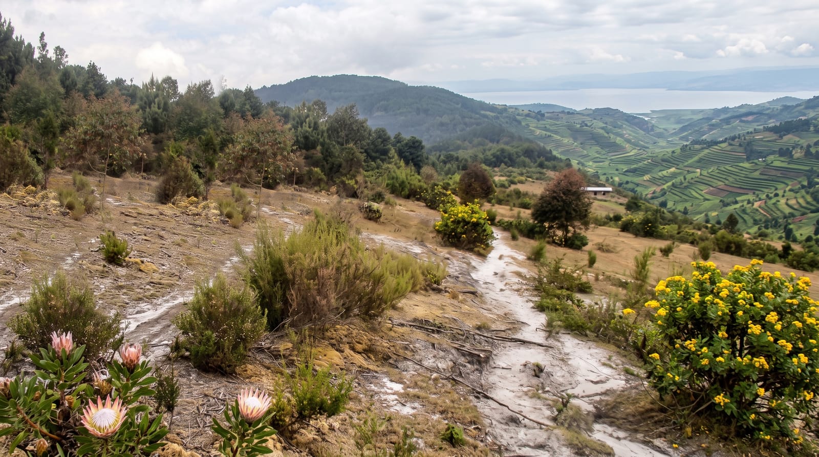
The country's highest point rises gently by great-peak standards - Mount Heha's 2,684 metres top a whaleback of montane grassland and heath above the Congo-Nile crest - but the climb collects Burundi on the way up: eucalyptus and banana villages around Ijenda, terraced hills in every direction doing their thousand-shades-of-green routine, and from the rounded summit a panorama that on clear mornings runs from Lake Tanganyika's silver sheet below to ridgelines fading into Congo and Rwanda. It is a walking mountain - stout legs, no ropes - and local guides turn the day into a hill-country introduction.
What you'll find
- The summit panorama - Tanganyika below, three countries of ridges.
- The terraced approach - Burundi's green hills at their most patterned.
- The crest grasslands - heath and proteas along the divide.
- Ijenda's hill life - the highland villages and their markets.
When to go
June to September, dry season, gives the clear mornings the panorama needs - start early, as cloud builds by midday; the summit air is genuinely cool. The rains make paths a mudsport.
What to expect
Trails are unsigned village paths - a local guide is both courtesy and necessity, arranged in Ijenda; the day is long but technically easy. Facilities are none: carry water and food.
Nearby
Ijenda, the crest road viewpoints and Bujumbura an hour below.
Key facts
Source: Wikidata, item Q1649074, read on 18 October 2026.
What to pack for Mount Heha
Chosen from what this place is for. Tap a kit for the full checklist.
- Broken-in walking shoes or boots - Grip and ankle support matter more than looks; never hike in brand-new boots. Find on Amazon
- Layers for big temperature swings - Warm sun by day, near-freezing at night, even near the equator. Find on Amazon
- Layers + a waterproof shell - Mountain weather turns fast; a packable rain jacket saves the day. Find on Amazon
- Extra-strong sun protection - Thin air means fierce UV; hat, sunglasses and high-SPF sunscreen. Find on Amazon
Some links on this page are Amazon affiliate links - if you buy through them we may earn a small commission at no extra cost to you.
All packing kitsPlan your trip
Where to start if Mount Heha is going on the list.
Booking links on this page are affiliate links - if you book through them we may earn a small commission at no extra cost to you. It never changes what we write about a place.
Opening times, ticket prices and seasonal closures change - check the official source before you go: official site.