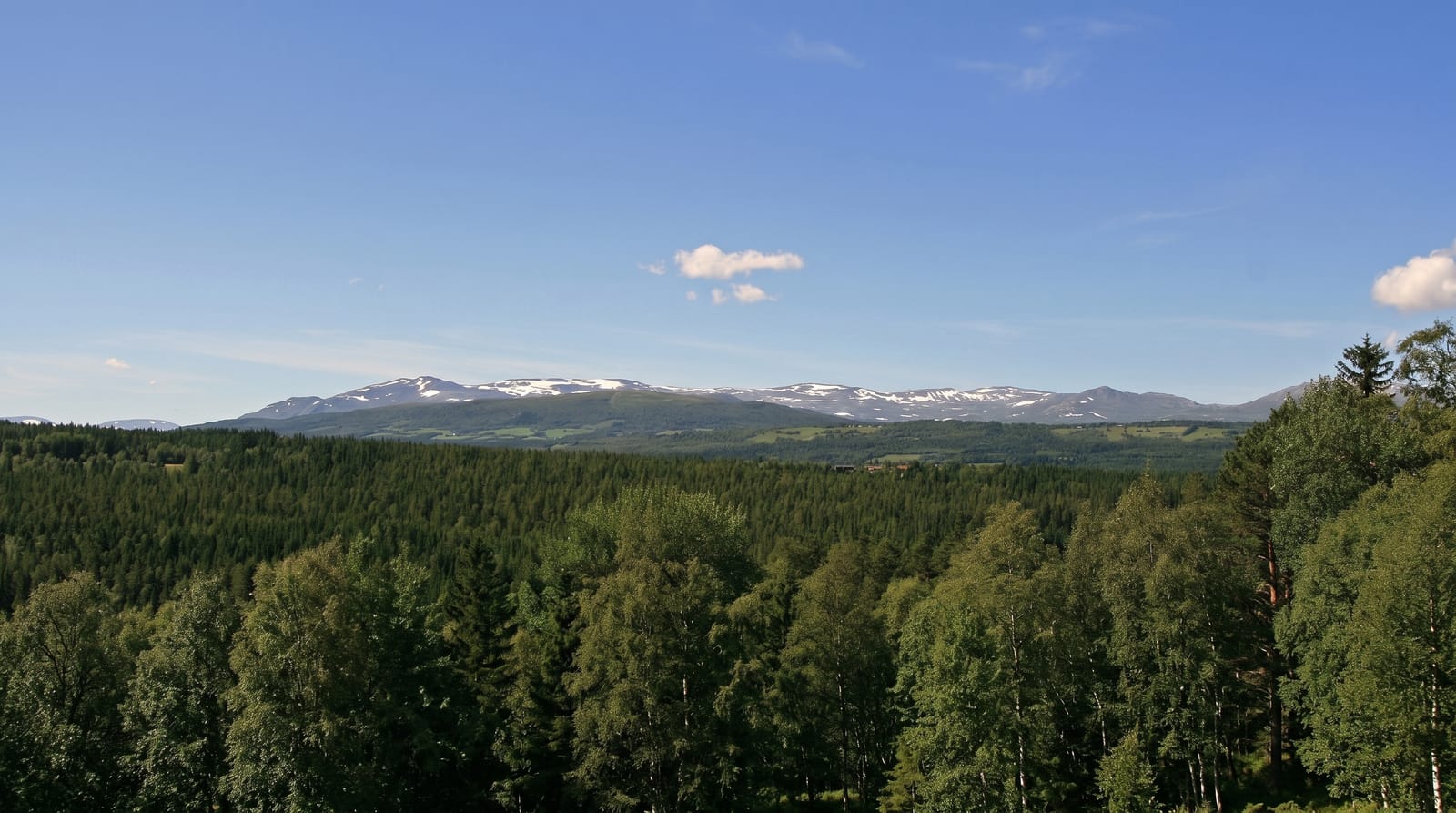
Cordillera Apolobamba
A remote glaciated range on the Peruvian border, home of the Kallawaya healers and large herds of vicuña.
Updated 1 September 2026
The Apolobamba runs along the Peruvian frontier north of Lake Titicaca, a range of glaciated peaks over six thousand metres protected as a national area of integrated management, and it is one of the least visited parts of the Bolivian Andes. Two things distinguish it. The vicuña population is among the largest in the country, and the traditional chaku round-up and shearing is still practised. And the valleys are the home of the Kallawaya, itinerant healers whose knowledge of medicinal plants and Andean cosmology has been passed down for centuries and was recognised by UNESCO as intangible heritage in 2003. The Charazani to Pelechuco trek crosses the range in four to six days over passes near five thousand metres.
What you'll find
- Vicuña herds - large numbers on the high puna.
- Kallawaya villages - the healers' communities in the valleys.
- Glaciated peaks - the six-thousand-metre frontier summits.
- The crossing trek - Charazani to Pelechuco over high passes.
When to go
May to September, the dry season, for trekking; passes are snowbound and the valleys wet otherwise. Nights at altitude are severely cold. The Charazani hot springs are welcome at either end.
Things to know
This is remote country with no rescue and minimal facilities: guides, mules and supplies must be arranged in Charazani or La Paz. Passes reach near five thousand metres and acclimatisation is essential. Roads in are long and rough. Very few outsiders come.
Nearby
Charazani is the base; Lake Titicaca lies south.
Key facts
Source: Wikidata, item Q1132209, read on 18 October 2026.
What to pack for Cordillera Apolobamba
Chosen from what this place is for. Tap a kit for the full checklist.
- Broken-in walking shoes or boots - Grip and ankle support matter more than looks; never hike in brand-new boots. Find on Amazon
- Layers for big temperature swings - Warm sun by day, near-freezing at night, even near the equator. Find on Amazon
- Swimwear - Needed at most public thermal pools; some traditional baths are nude and single-sex. Find on Amazon
- Layers + a waterproof shell - Mountain weather turns fast; a packable rain jacket saves the day. Find on Amazon
Some links on this page are Amazon affiliate links - if you buy through them we may earn a small commission at no extra cost to you.
All packing kitsPlan your trip
Where to start if Cordillera Apolobamba is going on the list.
Booking links on this page are affiliate links - if you book through them we may earn a small commission at no extra cost to you. It never changes what we write about a place.
Opening times, ticket prices and seasonal closures change - check the official source before you go: official site.