Atakora Mountains
A chain of hills across northwestern Benin, the country's high ground.
Updated 16 October 2026
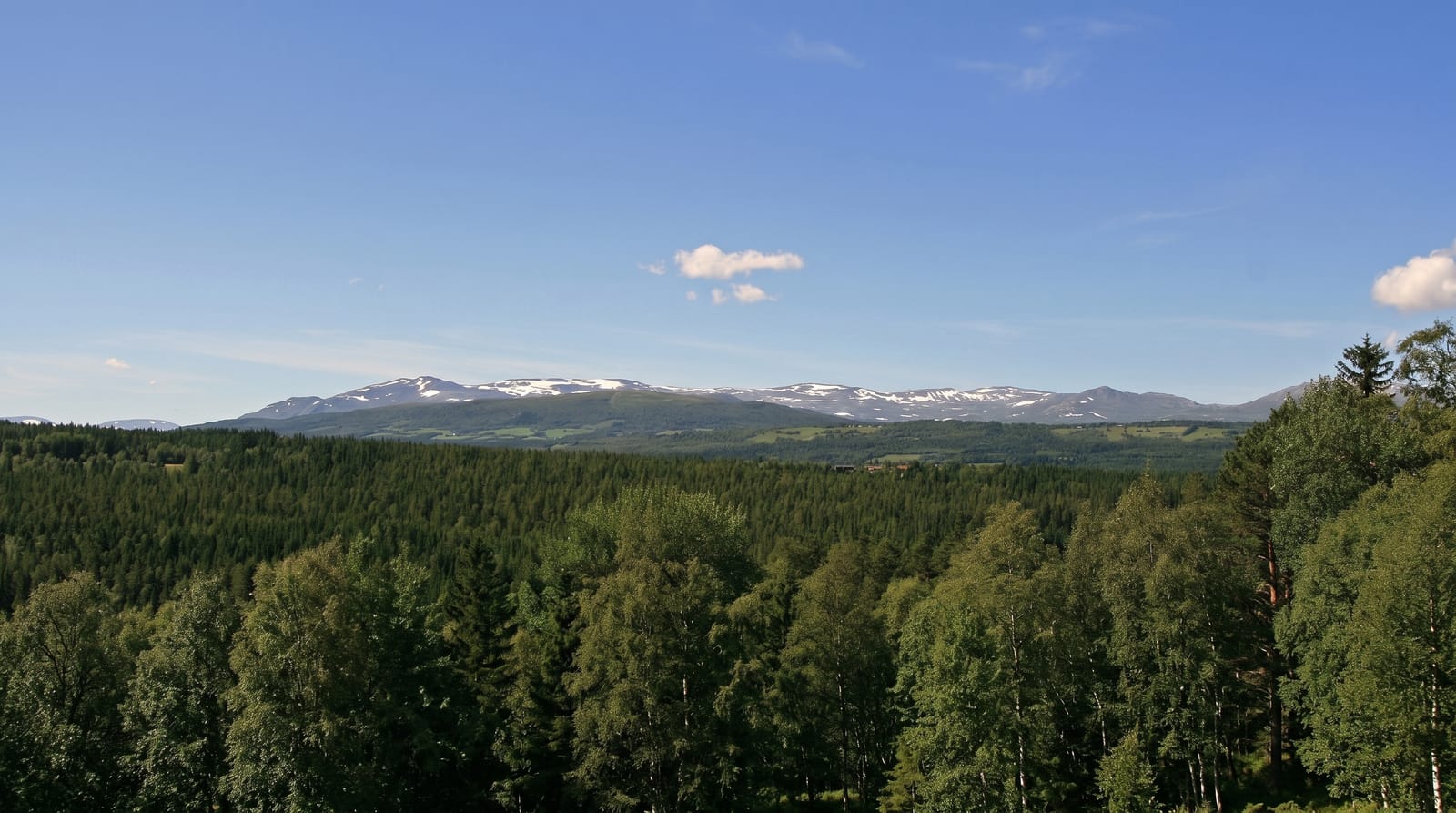
The Atacora runs northeast across Benin's northwest as a chain of quartzite ridges and hills rising to around six hundred and fifty metres, the highest ground in the country, and the escarpment on its western side carries waterfalls where streams come off it. The range shelters distinct communities including the Batammariba, whose fortified houses were inscribed by UNESCO, and the Taneka, whose villages sit on the slopes. The range continues northeast across the border into Togo, where it carries the same escarpment and the same pattern of settlement on the slopes.
Background
The same range is known more widely as the Togo Mountains, and it runs across central Togo and over its borders into both Ghana and Benin. In Ghana it is also called the Akwapim Hills. Part of the range is associated with Niger, where W National Park lies. The mountains average 700 metres in height, and in Togo they peak at Mount Agou, 986 metres high. The African wild dog, Lycaon pictus, once lived in the region, though it may now be gone from this area.
Source: Wikipedia, "Togo Mountains"
What you'll find
- The quartzite ridges - the chain of hills rising to around six hundred and fifty metres.
- The escarpment falls - the streams coming off the western edge.
- The hill communities - the peoples settled through the range.
- The high ground - the country's highest terrain.
When to go
November to February is the cool dry season, though the harmattan brings haze. The rains from May green the range. March and April are extremely hot.
Things to know
Roads through the range are rough and slow. Facilities outside Natitingou are minimal. Harmattan haze from December can reduce visibility considerably.
Nearby
Natitingou is at the centre, and Pendjari is north.
What to pack for Atakora Mountains
Chosen from what this place is for. Tap a kit for the full checklist.
- Broken-in walking shoes or boots - Grip and ankle support matter more than looks; never hike in brand-new boots. Find on Amazon
- Layers + a waterproof shell - Mountain weather turns fast; a packable rain jacket saves the day. Find on Amazon
- Daypack with rain cover - 20-30 litres holds water, snacks, layers and a first-aid kit. Find on Amazon
- Offline maps + a power bank - Download the trail before you lose signal; carry backup charge. Find on Amazon
Some links on this page are Amazon affiliate links - if you buy through them we may earn a small commission at no extra cost to you.
All packing kitsPlan your trip
Where to start if Atakora Mountains is going on the list.
Booking links on this page are affiliate links - if you book through them we may earn a small commission at no extra cost to you. It never changes what we write about a place.
Opening times, ticket prices and seasonal closures change - check the official source before you go: official site.