La Milpa
A large Maya city inside the Rio Bravo reserve, mostly unexcavated and standing under forest canopy.
Updated 16 October 2026
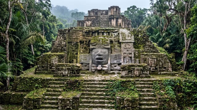
La Milpa is among the largest Maya sites in Belize, with a great plaza covering several acres, around twenty courtyards, ball courts and a set of stelae, and it is largely as the forest left it: consolidation has been limited and most of the structures are mounds under trees rather than cleared pyramids. That is the appeal. It sits inside the Rio Bravo reserve, reached from the field station, and visits are guided.
Background
The city stands in the Three River region of northwest Belize, between Rio Azul and Lamanai, on a ridge roughly 1 km across that runs from north to south. Only Caracol and Lamanai are larger sites in Belize, and the Main Plaza alone covers 18,000 square meters, able perhaps to hold upwards of 17,000 people. Thompson, who mapped and excavated the Main Center after the site's discovery in March 1938, recorded 12 stelae and read on Stela 7 the date 9.17.10.0.0, which corresponds to November 30, 780. With no natural water sources, the site had two large aguadas that could hold water through the dry season. The La Milpa Archaeological Project, with Boston University, began extensive excavations in February 1992.
Source: Wikipedia, "La Milpa"
What you'll find
- The great plaza - one of the largest Maya plazas known, still under forest.
- The unexcavated mounds - most of the city left as the forest covered it.
- The stelae - carved monuments recorded at the site.
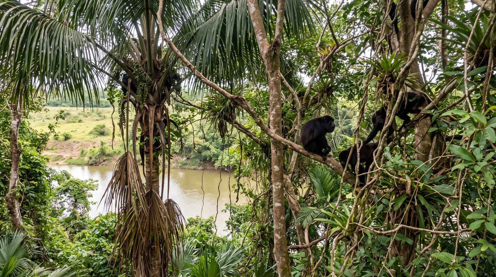
- The forest setting - canopy and wildlife over and around the ruins.
When to go
December to April is the dry season and the practical window. Mornings are best for wildlife on the walk in. The rains make the access roads difficult.
Practical notes
Very little is cleared and visitors expecting standing pyramids find mounds and trees. Access requires booking through the reserve and a guide. Mosquitoes and ticks are heavy.
Nearby
The Rio Bravo field station is nearby, and Orange Walk is east.
Key facts
Source: Wikidata, item Q6463877, read on 18 October 2026.
What to pack for La Milpa
Chosen from what this place is for. Tap a kit for the full checklist.
- Binoculars - The single best wildlife tool - even a compact pair transforms a sighting. Find on Amazon
- Comfortable walking shoes - Sightseeing means kilometres of pavement and cobbles daily. Find on Amazon
- A zoom camera or long lens - Animals rarely come close; reach beats megapixels. Find on Amazon
- A slim anti-theft daypack - Zips that close properly; keep it in front in crowds and on transit. Find on Amazon
Some links on this page are Amazon affiliate links - if you buy through them we may earn a small commission at no extra cost to you.
All packing kitsPlan your trip
Where to start if La Milpa is going on the list.
Booking links on this page are affiliate links - if you book through them we may earn a small commission at no extra cost to you. It never changes what we write about a place.
Opening times, ticket prices and seasonal closures change - check the official source before you go: official site.