Yaxhá
A Maya city on a lake in the Petén forest, with a temple you can climb for sunset over the water and canopy.
Updated 19 October 2026
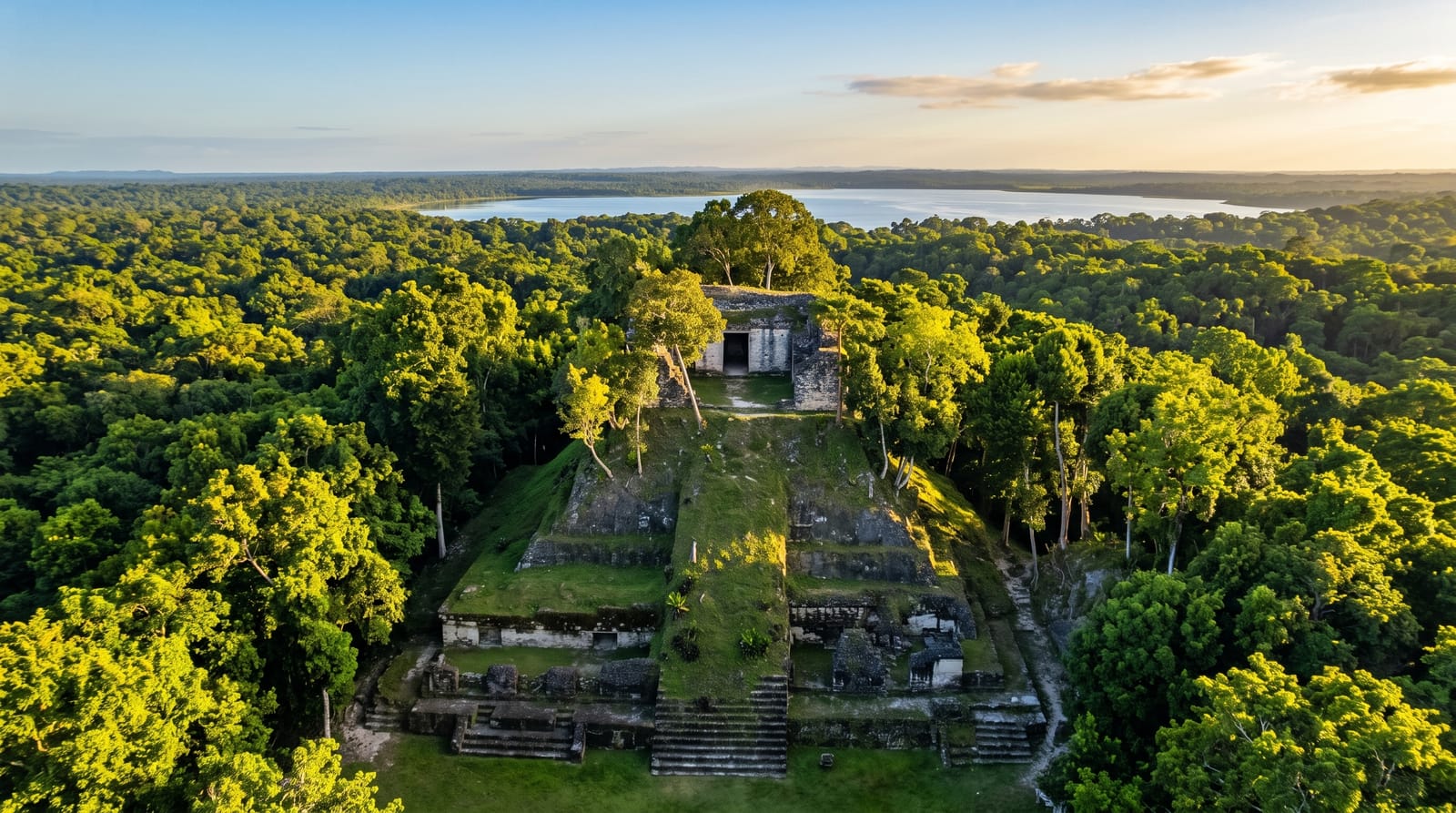
AI illustration
Yaxhá sits on a ridge between two lakes in the Petén forest, a substantial Maya city with plazas, ball courts, causeways and over five hundred structures, far quieter than Tikal an hour away. Its particular pleasure is Structure 216, the tallest temple, which visitors are allowed to climb by a wooden stairway to a platform above the canopy, and the standard move is to be up there for sunset with the lake below and howler monkeys starting up in the trees. Wildlife is easy here: toucans, oropendolas, spider monkeys and crocodiles in the lake. The site was used as a location for a season of a reality television series, which brought it a brief and slightly incongruous fame.
History
Yaxha takes its name from the Mayan yaxa', "blue-green water", a rare Classic-period place name still in use, and it stands on a limestone ridge between Lakes Yaxha and Sacnab, controlling trade routes across the eastern Petén lakes. It was already a large site in the Middle Preclassic, about 1000-350 BC, became the largest settlement in its basin in the Late Preclassic, and reached the height of its power in the Early Classic, about AD 250-600, when it was the third largest city in the region; major building, including the twin-pyramid complex, followed in the 8th century, when it was an important trading centre south-east of Tikal (Wikipedia, Yaxha).
What you'll find
- Structure 216 at sunset - the climbable temple above the canopy and lake.
- The twin plazas and causeways - the city's ceremonial core in the forest.
- Lake Yaxhá - crocodiles, waterbirds and the view from the ridge.
- Topoxté - a small island site in the lake, reached by boat.
When to go
November to April, the dry season, when the dirt access road is passable. Sunset is the point, so plan the visit around it and arrange transport that will wait. Wildlife is most active at dawn and dusk.
Before you go
The last stretch of road is dirt and can be difficult after rain. There are no facilities beyond a small camping area, and no food, so bring everything. Staying for sunset means driving back in the dark on a rough road, which most operators handle but independent visitors should plan for. Mosquitoes at dusk are serious.
Nearby
Tikal is an hour northwest; Flores and its island town lie west.
Key facts
Source: Wikidata, item Q1540906, read on 18 October 2026.
What to pack for Yaxhá
Chosen from what this place is for. Tap a kit for the full checklist.
- Binoculars - The single best wildlife tool - even a compact pair transforms a sighting. Find on Amazon
- Comfortable walking shoes - Sightseeing means kilometres of pavement and cobbles daily. Find on Amazon
- Modest clothing - Shoulders and knees covered - the single most common requirement. Find on Amazon
- Shelter suited to the place - Tent, tarp or hut booking - match it to the terrain and rules. Find on Amazon
Some links on this page are Amazon affiliate links - if you buy through them we may earn a small commission at no extra cost to you.
All packing kitsPlan your trip
Where to start if Yaxhá is going on the list.
Booking links on this page are affiliate links - if you book through them we may earn a small commission at no extra cost to you. It never changes what we write about a place.
Opening times, ticket prices and seasonal closures change - check the official source before you go: official site.