Nockalm Road
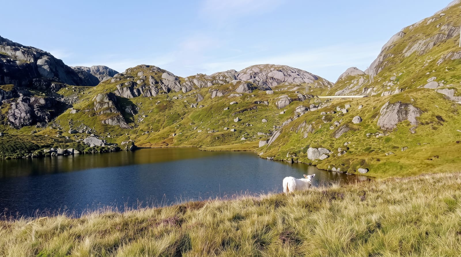
A toll road of fifty-two hairpins over the rounded Nockberge, a range of grass domes unlike the rest of the Alps.
Updated 2 October 2026
The Nockberge are made of old crystalline rock that weathered into rounded grass-covered domes rather than the limestone spires and glaciated peaks that define most of the eastern Alps, so a range topping two thousand metres looks more like uplands than mountains - the local word Nock means a rounded hump. The Nockalmstrasse runs about thirty-five kilometres over the range in fifty-two hairpins, opened in 1981, tolled and closed by snow for much of the year. Along it are alp huts, information points on the geology and the arnica and gentian flora, walking routes over the domes, and larch forest. The range is a UNESCO biosphere reserve and part of it was a national park before the designation changed; grazing continues on the alps as it has for centuries.
What's there
- Rounded grass domes - old crystalline rock weathered unlike the limestone Alps.
- Fifty-two hairpins - the toll road crossing the range over thirty-five kilometres.
- Working alp huts - grazing continuing on the pastures beside the road.
- A biosphere reserve - the Nockberge and their flora under UNESCO designation.
When to go
May to October; the road closes in snow. A day.
Good to know
The road is tolled and shut for a good part of the year. Cloud sits on the domes often. It is a driving and walking route - there is little else along it besides huts.
Nearby
Bad Kleinkirchheim is south; the Millstätter See is south-west.
Key facts
Source: Wikidata, item Q718641, read on 18 October 2026.
What to pack for Nockalm Road
Chosen from what this place is for. Tap a kit for the full checklist.
- Warm base layers - Merino or synthetic against the skin - never cotton, which chills when damp. Find on Amazon
- Comfortable walking shoes - Sightseeing means kilometres of pavement and cobbles daily. Find on Amazon
- Shelter suited to the place - Tent, tarp or hut booking - match it to the terrain and rules. Find on Amazon
- An insulated + windproof jacket - A down or synthetic layer under a hard shell handles most cold. Find on Amazon
Some links on this page are Amazon affiliate links - if you buy through them we may earn a small commission at no extra cost to you.
All packing kitsPlan your trip
Where to start if Nockalm Road is going on the list.
Booking links on this page are affiliate links - if you book through them we may earn a small commission at no extra cost to you. It never changes what we write about a place.
Opening times, ticket prices and seasonal closures change - check the official source before you go: official site.