Loser Panorama Road
A toll road of twenty-nine hairpins climbing to 1,600 metres above Altaussee, with the Dachstein opposite.
Updated 29 August 2026
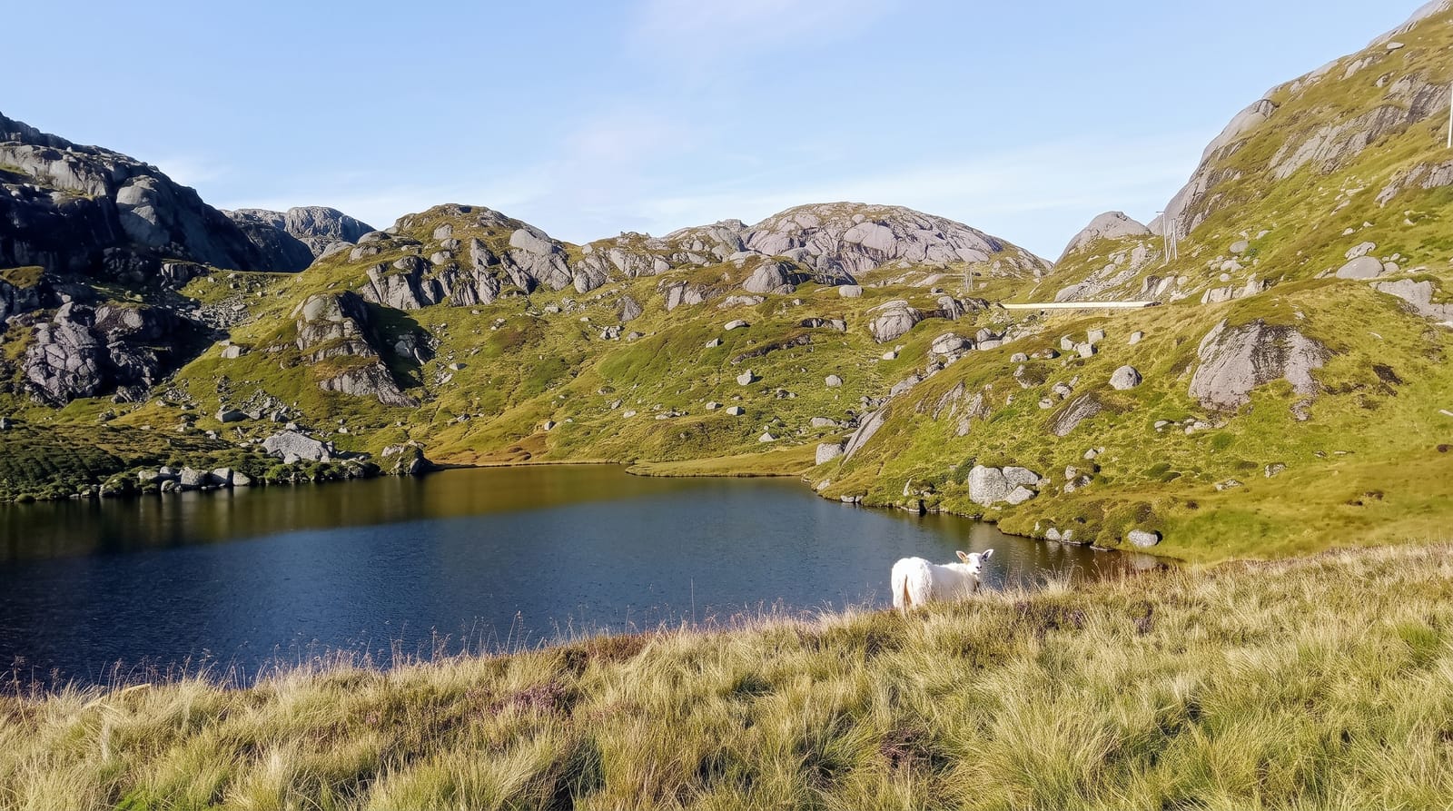
The Loser Panoramastrasse climbs about a thousand metres from Altaussee to a car park at around sixteen hundred on the shoulder of the Loser, in twenty-nine hairpins over roughly ten kilometres, and it is a toll road built in the 1960s for the ski area and kept as a scenic route. What it gives is a view across the Ausseerland to the Dachstein and down onto the Altausseer See, and access to walking on the karst plateau above - the Loser summit at 1,838 metres is a straightforward walk from the top car park, and the Augstsee sits just below it. The Loser is also known for its caves and shafts, including some of the deepest in Austria in the Totes Gebirge behind. In winter the road serves the ski area.
What to look for
- Twenty-nine hairpins - the toll road climbing a thousand metres from the village.
- A view to the Dachstein - across the Ausseerland from the top car park.
- The Augstsee and summit - short walks from the road end onto the plateau.
- Karst plateau ground - limestone pavement and shafts behind the summit.
When to go
May to October; the road closes in snow outside the ski season. Half a day.
Things to know
The road is tolled and narrow with tight bends and drops. Cloud closes the view often. The plateau is exposed karst - navigation is hard in fog and there are unmarked shafts.
Nearby
Altaussee and its salt mine are below; Bad Aussee and the Grundlsee are close.
Key facts
Source: Wikidata, item Q129109662, read on 18 October 2026.
What to pack for Loser Panorama Road
Chosen from what this place is for. Tap a kit for the full checklist.
- Head torch + spare batteries - Hands-free light is essential; caves are truly dark. Find on Amazon
- Warm base layers - Merino or synthetic against the skin - never cotton, which chills when damp. Find on Amazon
- Comfortable walking shoes - Sightseeing means kilometres of pavement and cobbles daily. Find on Amazon
- Grippy closed shoes - Cave floors are wet, muddy and slick with formations. Find on Amazon
Some links on this page are Amazon affiliate links - if you buy through them we may earn a small commission at no extra cost to you.
All packing kitsPlan your trip
Where to start if Loser Panorama Road is going on the list.
Booking links on this page are affiliate links - if you book through them we may earn a small commission at no extra cost to you. It never changes what we write about a place.
Opening times, ticket prices and seasonal closures change - check the official source before you go: official site.