Grosses Walsertal
A steep Vorarlberg valley settled by Walser migrants in the fourteenth century, and a UNESCO biosphere reserve.
Updated 29 August 2026
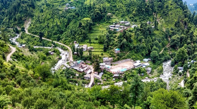
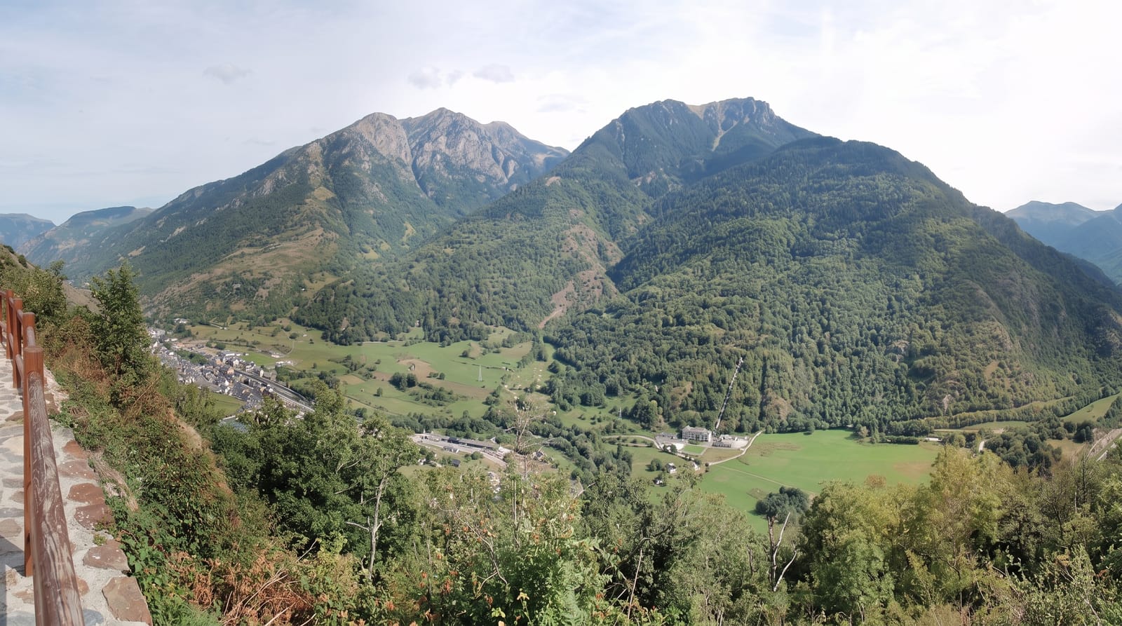
The Grosses Walsertal runs south-east from the Walgau into the Lechquellen mountains, a steep-sided valley of six small communities, and the name comes from its settlement: Walser families from the Valais in Switzerland migrated over the passes in the fourteenth century and took up land too high and steep for the existing population, keeping their dialect, building style and farming practice for centuries afterwards. The valley was designated a UNESCO biosphere reserve in 2000, the first in Vorarlberg, on the basis of that combination of steep alpine farming and intact landscape, and the local response has been a deliberate programme of small-scale agriculture, cheese dairies, timber building and low-impact tourism. Walking is on old farm and alp paths with huts, and the Faschinajoch and Schadonapass cross out of it.
What you'll find
- A Walser settlement valley - farms and dialect from fourteenth-century migration.
- A UNESCO biosphere reserve - designated in 2000 around the working landscape.
- Alp dairies - small cheese operations on the high pastures.
- Old farm paths - the walking network between alps and villages.
When to go
June to October. Two days.
Before you go
The valley is steep and roads are narrow with hairpins. Public transport is limited to a few buses a day. It is quiet and low-key - the appeal is the working landscape, not attractions.
Nearby
Bludenz is at the valley mouth; the Bregenzerwald is over the Faschinajoch.
Key facts
Source: Wikidata, item Q1549221, read on 18 October 2026.
What to pack for Grosses Walsertal
Chosen from what this place is for. Tap a kit for the full checklist.
- Broken-in walking shoes or boots - Grip and ankle support matter more than looks; never hike in brand-new boots. Find on Amazon
- Shelter suited to the place - Tent, tarp or hut booking - match it to the terrain and rules. Find on Amazon
- Layers + a waterproof shell - Mountain weather turns fast; a packable rain jacket saves the day. Find on Amazon
- A warm sleeping bag + mat - Rated a little colder than you expect the nights to be. Find on Amazon
Some links on this page are Amazon affiliate links - if you buy through them we may earn a small commission at no extra cost to you.
All packing kitsPlan your trip
Where to start if Grosses Walsertal is going on the list.
Booking links on this page are affiliate links - if you book through them we may earn a small commission at no extra cost to you. It never changes what we write about a place.
Opening times, ticket prices and seasonal closures change - check the official source before you go: official site.