Sturt National Park
Desert country at the corner where three states meet, with red dunes, gibber plains and mesas near Tibooburra.
Updated 12 October 2026
AI illustration
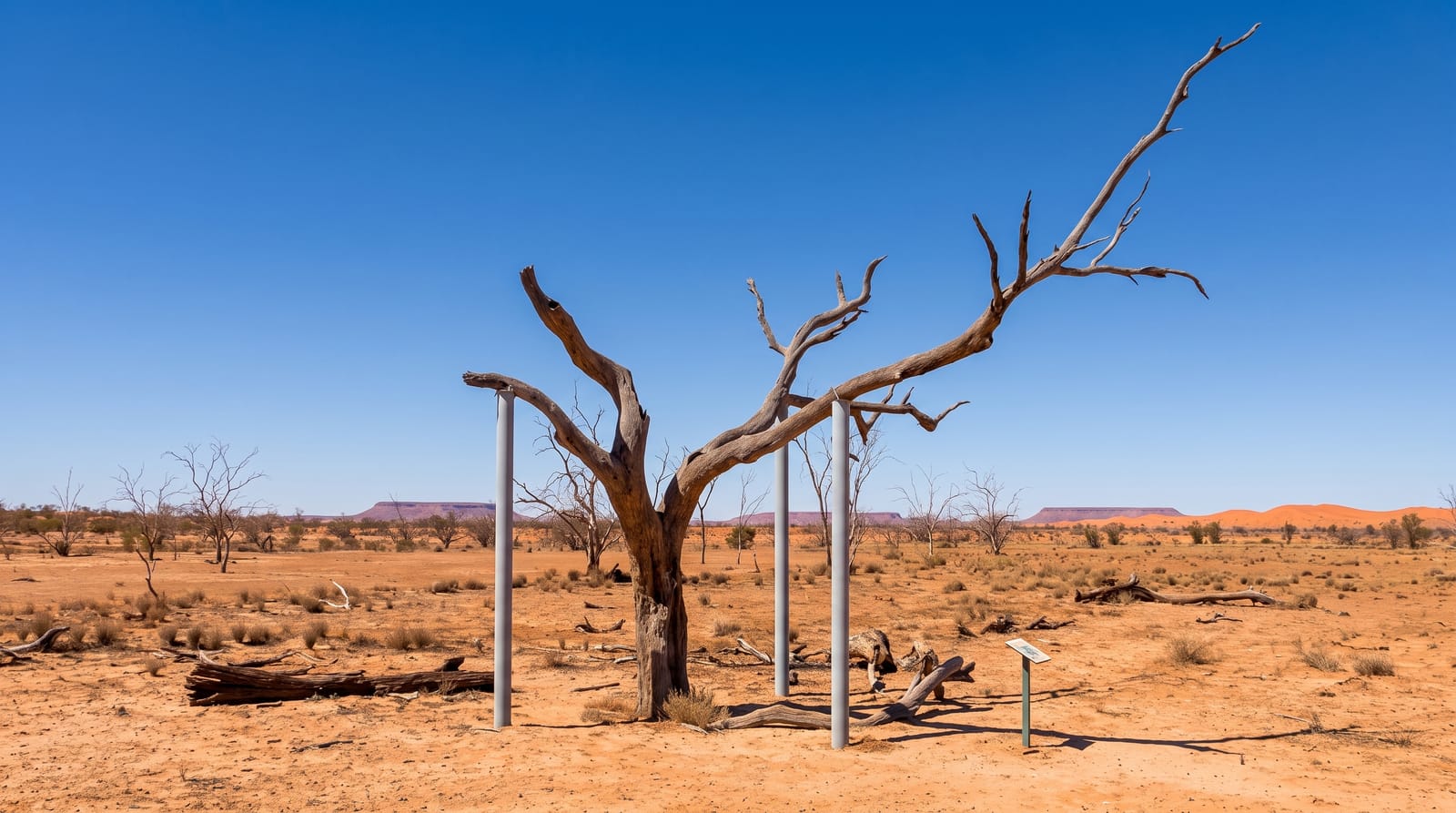
Sturt National Park occupies the far northwest corner of New South Wales around Tibooburra, taking its name from Charles Sturt, who pushed into this country in the 1840s searching for an inland sea and was trapped by drought for six months. The park covers several desert landscapes: red sand dunes in the west, stony gibber plains that shimmer with heat, jump-ups or flat-topped mesas, and the Cameron Corner post, where New South Wales, Queensland and South Australia meet at a single surveyed point marked since 1880. Red kangaroos are abundant, emus common, and the dog fence runs along the northern boundary. Facilities are minimal and distances between them long.
What you'll find
- Cameron Corner - the marker where three states meet, with a store just over the line.
- The red dunes - parallel sand ridges in the western part of the park.
- The gibber plains - stone-covered desert flats stretching to the horizon.
- The jump-ups - flat-topped mesas rising above the plain.
When to go
April to September; summer temperatures exceed forty-five degrees and travel is genuinely hazardous. Roads are unsealed throughout and close after rain, sometimes stranding travellers for days. Wildflowers follow good winter rain.
Before you go
This is remote desert travel: fuel, water, spare tyres and communications need planning, and there is no phone coverage over most of the park. Tibooburra has one fuel stop and two pubs. Road closures after rain are enforced with heavy fines.
Nearby
Tibooburra is the base village; Innamincka and the Strzelecki Track lie west in South Australia.
Key facts
Source: Wikidata, item Q972962, read on 18 October 2026.
What to pack for Sturt National Park
Chosen from what this place is for. Tap a kit for the full checklist.
- Broken-in walking shoes or boots - Grip and ankle support matter more than looks; never hike in brand-new boots. Find on Amazon
- Binoculars - The single best wildlife tool - even a compact pair transforms a sighting. Find on Amazon
- Loose, light, long clothing - Covering up beats bare skin in the desert - and locals dress this way for a reason. Find on Amazon
- Layers + a waterproof shell - Mountain weather turns fast; a packable rain jacket saves the day. Find on Amazon
Some links on this page are Amazon affiliate links - if you buy through them we may earn a small commission at no extra cost to you.
All packing kitsPlan your trip
Where to start if Sturt National Park is going on the list.
Booking links on this page are affiliate links - if you book through them we may earn a small commission at no extra cost to you. It never changes what we write about a place.
Opening times, ticket prices and seasonal closures change - check the official source before you go: official site.