Mount Field National Park
Tasmania's oldest national park, running from tall swamp gums and Russell Falls up to alpine tarns and a small ski field.
Saved in this browser only - no account, nothing sent anywhere. See your map
Mount Field was declared in 1916, jointly with Freycinet the first national park in Tasmania, and it packs an unusual range into a small area. At the entrance, a flat ten-minute walk through tree ferns and swamp gums reaches Russell Falls, a tiered fall that is among the most photographed in the state, with Horseshoe Falls and the Tall Trees walk beyond it among eucalypts over eighty metres. A road climbs sixteen kilometres to Lake Dobson at around a thousand metres, where the vegetation changes entirely to pandani, cushion plants and deciduous beech, which turns gold in late April, and short walks reach alpine tarns. A small community ski field operates in winter.
What you actually see
- Russell Falls - the tiered fall reached by a flat walk from the entrance.
- The tall trees - swamp gums over eighty metres on the valley floor.
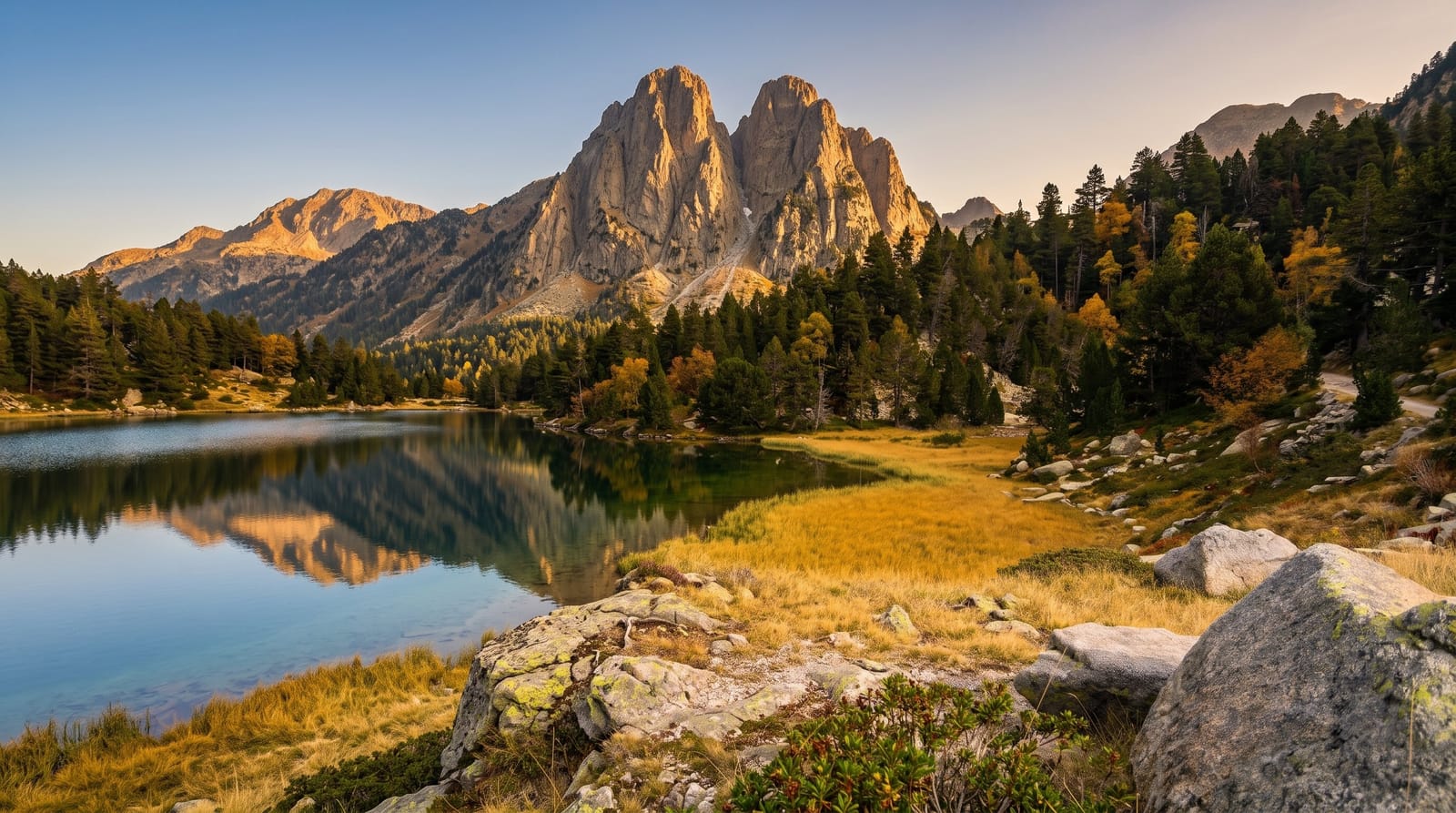
- Lake Dobson - the alpine area with tarns, pandani and cushion plants.
- The fagus - deciduous beech turning gold in late April, unique to Tasmania.
When to go
Year-round; the falls walk works in any weather, the alpine area is snow-covered in winter, and the fagus turns in the last week of April. The Lake Dobson road is unsealed above the visitor centre and may need chains in winter.
Honest expectations
The lower falls area is busy with coach groups midday. The alpine road is unsealed, narrow and snow-affected in winter. Weather at Lake Dobson differs sharply from the entrance, often by ten degrees or more.
Nearby
New Norfolk lies east; the Derwent Valley and Hobart are beyond.
What to pack for Mount Field National Park
Chosen from what this place is for. Tap a kit for the full checklist.
Opening times, ticket prices and seasonal closures change - check the official source before you go: official site.