Lake Pedder
A vast impoundment in the southwest that drowned an original lake famous for its pink quartzite beach.
Updated 4 September 2026
AI illustration
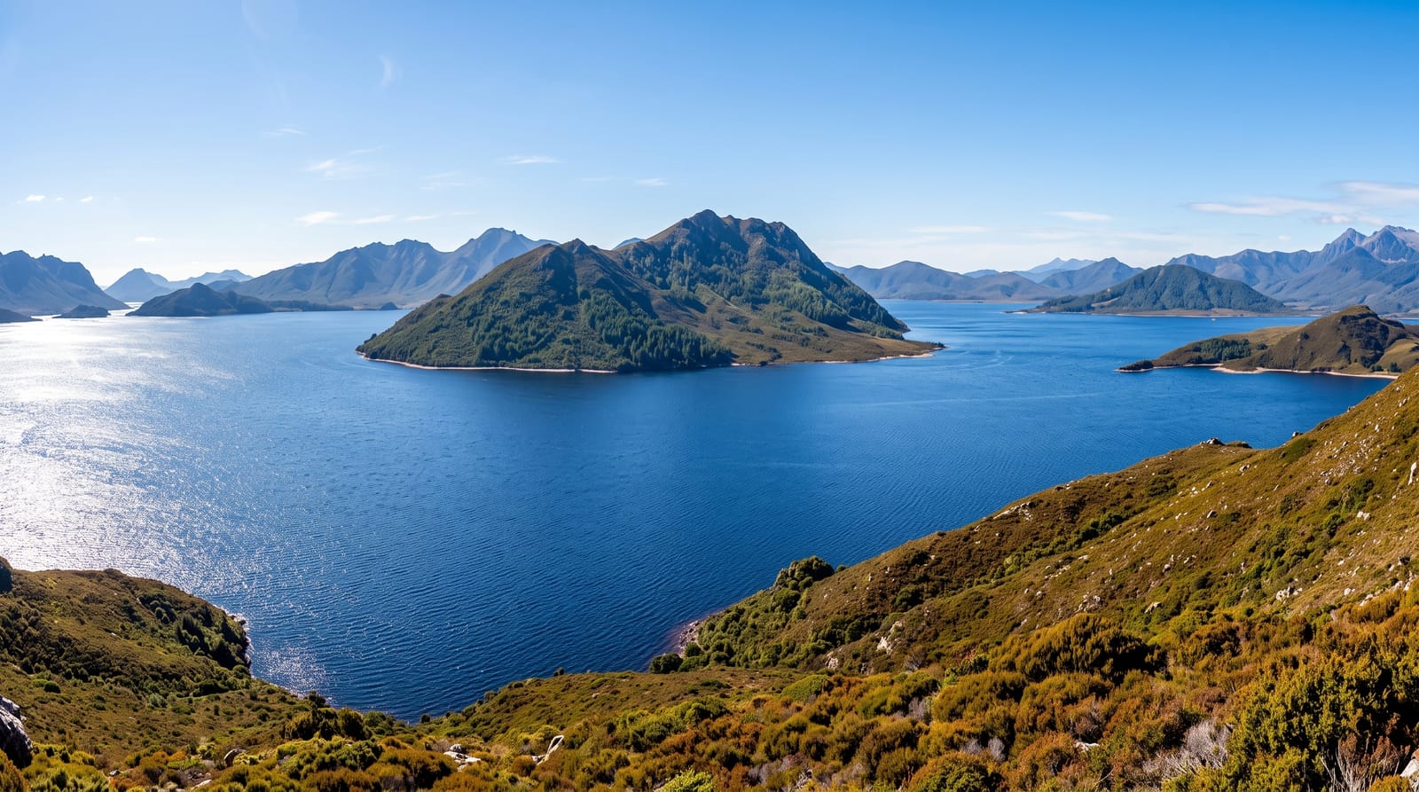
The original Lake Pedder was a small glacial lake with a beach of pink quartzite sand about three kilometres long, reached by light aircraft landing on the sand, and it was regarded as one of the most beautiful places in Tasmania. In 1972 it was flooded as part of a hydroelectric scheme, despite a campaign that gave rise to the world's first green political party; the impoundment that replaced it is many times larger and holds the original lake somewhere beneath it. Proposals to drain and restore it recur. What visitors see today is a large lake among quartzite ranges, with Mount Eliza and the Frankland Range above, camping at Edgar Dam and access to the southwest wilderness.
The landscape
- The impoundment - a large lake among the quartzite ranges of the southwest.
- The Gordon River Road - the drive west through forest and moorland.
- The Frankland and Arthur ranges - peaks rising above the water.
- The restoration debate - interpretation of the drowned original lake.
When to go
November to April for the mildest weather; the southwest is wet and cold much of the year with rain likely on any day. The road is sealed to Strathgordon. Facilities are minimal beyond the campgrounds and a lodge.
Practical notes
The famous pink beach is under water and cannot be seen; visitors expecting the images from before 1972 will not find them. The area is wet, exposed and often cloud-covered. Services along the road are very limited.
Nearby
Strathgordon and the Gordon Dam lie west; Mount Field is northeast.
Key facts
Source: Wikidata, item Q653152, read on 18 October 2026.
What to pack for Lake Pedder
Chosen from what this place is for. Tap a kit for the full checklist.
- Reef-safe sunscreen - High SPF that will not bleach the coral you are swimming over. Find on Amazon
- Shelter suited to the place - Tent, tarp or hut booking - match it to the terrain and rules. Find on Amazon
- Quick-dry towel - A microfibre towel packs small and dries in minutes. Find on Amazon
- A warm sleeping bag + mat - Rated a little colder than you expect the nights to be. Find on Amazon
Some links on this page are Amazon affiliate links - if you buy through them we may earn a small commission at no extra cost to you.
All packing kitsPlan your trip
Where to start if Lake Pedder is going on the list.
Booking links on this page are affiliate links - if you book through them we may earn a small commission at no extra cost to you. It never changes what we write about a place.
Opening times, ticket prices and seasonal closures change - check the official source before you go: official site.


