Lake St Clair
Australia's deepest lake, carved by glaciers over two million years, at the southern end of the Overland Track.
Updated 4 September 2026
AI illustration
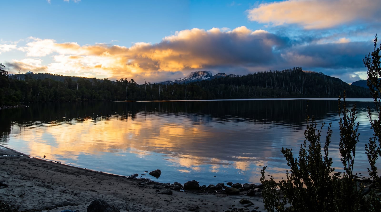
Lake St Clair, called Leeawuleena or sleeping water by the Big River people, fills a valley gouged by successive glaciations over roughly two million years, reaching more than two hundred metres deep, the deepest natural freshwater lake in Australia. It forms the southern end of the Cradle Mountain-Lake St Clair National Park and the finish of the Overland Track, the six-day walk from Cradle Mountain, with many walkers taking the ferry down the lake to shorten the last day. Day walks from the visitor centre run to Platypus Bay and along the shore, and Mount Rufus and the Overland Track's final section climb from the same point. The area is part of the Tasmanian Wilderness World Heritage Area.
Highlights
- The deep lake - Australia's deepest, filling a glacial valley.
- The Overland Track finish - the southern end of Tasmania's best-known walk.
- The ferry - the boat service down the lake used by walkers and day visitors.
- The shoreline walks - tracks through myrtle and pencil pine forest.
When to go
November to April for the mildest weather and reliable ferry services; snow can fall at any time of year here. Winter is cold, quiet and often beautiful, but tracks may be icy and services reduced.
Good to know
Weather changes fast and cold conditions are possible in midsummer. The ferry runs to a limited timetable and books out with Overland Track walkers. Accommodation at Derwent Bridge is limited and there is little else nearby.
Nearby
Derwent Bridge is at the lake's foot; Cradle Mountain lies at the park's northern end.
What to pack for Lake St Clair
Chosen from what this place is for. Tap a kit for the full checklist.
- Reef-safe sunscreen - High SPF that will not bleach the coral you are swimming over. Find on Amazon
- Warm base layers - Merino or synthetic against the skin - never cotton, which chills when damp. Find on Amazon
- Quick-dry towel - A microfibre towel packs small and dries in minutes. Find on Amazon
- An insulated + windproof jacket - A down or synthetic layer under a hard shell handles most cold. Find on Amazon
Some links on this page are Amazon affiliate links - if you buy through them we may earn a small commission at no extra cost to you.
All packing kitsPlan your trip
Where to start if Lake St Clair is going on the list.
Booking links on this page are affiliate links - if you book through them we may earn a small commission at no extra cost to you. It never changes what we write about a place.
Opening times, ticket prices and seasonal closures change - check the official source before you go: official site.