Dryandra Woodland
An island of old wandoo woodland in cleared wheatbelt country, one of the last wild strongholds of the numbat.
Updated 21 October 2026
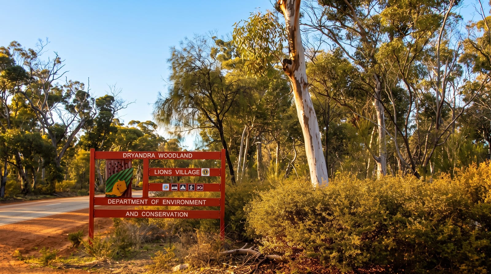
AI illustration
Dryandra is a remnant of the woodland that once covered much of the Western Australian wheatbelt before clearing, around twenty-eight thousand hectares of wandoo and powderbark left in blocks among farmland. It holds the most significant remaining wild population of the numbat, a small termite-eating marsupial and the state's animal emblem, which is active by day and occasionally seen along the tracks by patient visitors. Woylies, tammar wallabies and echidnas also live here. Barna Mia, a fenced nocturnal sanctuary within the woodland, runs evening tours where visitors see bilbies, boodies, woylies, mala and marl under low light. Fox baiting since the 1980s allowed these populations to recover.
What you'll find
- The numbats - the wild population, day-active and occasionally seen on tracks.
- Barna Mia - guided evening tours in a fenced sanctuary with bilbies and boodies.
- The wandoo woodland - old-growth remnant in cleared farming country.
- The walking trails - marked routes through the woodland blocks.
When to go
April to October for comfortable conditions; numbats are most visible on mild sunny days in autumn and spring, when they forage in the open. Summer is hot and animals stay hidden. Barna Mia tours run on set evenings and must be booked.
What to expect
Numbat sightings require patience and luck; many visitors see none. Barna Mia is a booked, guided tour with limited places. Facilities are limited to basic accommodation in old forestry huts and a campground.
Nearby
Narrogin lies southeast; Wave Rock is further east.
Key facts
Source: Wikidata, item Q5309628, read on 18 October 2026.
What to pack for Dryandra Woodland
Chosen from what this place is for. Tap a kit for the full checklist.
- Broken-in walking shoes or boots - Grip and ankle support matter more than looks; never hike in brand-new boots. Find on Amazon
- Shelter suited to the place - Tent, tarp or hut booking - match it to the terrain and rules. Find on Amazon
- Layers + a waterproof shell - Mountain weather turns fast; a packable rain jacket saves the day. Find on Amazon
- A warm sleeping bag + mat - Rated a little colder than you expect the nights to be. Find on Amazon
Some links on this page are Amazon affiliate links - if you buy through them we may earn a small commission at no extra cost to you.
All packing kitsPlan your trip
Where to start if Dryandra Woodland is going on the list.
Booking links on this page are affiliate links - if you book through them we may earn a small commission at no extra cost to you. It never changes what we write about a place.
Opening times, ticket prices and seasonal closures change - check the official source before you go: official site.


